Carlisle — Peru
Carlisle — Prince George's County
Carlisle — Donnellson
Carlisle — Hensley
Carlisle — Roseland
Carlisle — Albano
Carlisle — Little Birch
Carlisle — Wilburn
Carlisle — Corsica
Carlisle — Lake City
Carlisle — Whiteriver
Carlisle — Gross
Carlisle — Bartley
Carlisle — Hillsgrove
Carlisle — Grand County
Carlisle — Centerville
Carlisle — Raymondville
Carlisle — Shipshewana
Carlisle — Banner County
Sallisaw
Gans
Muldrow
Roland
Van Buren
Rudy
Coal Hill
Hartman
Russellville
Atkins
Morrilton
Conway
Maumelle
North Little Rock
Little Rock
Bill and Hillary Clinton National Airport
Landmark
Hensley
Pine Bluff
Gould
Desha County
Tillar
McGehee
Dermott
Lake Village
Hollandale
Yazoo City
Bentonia
Jackson
Piney Woods
D'Lo
Mendenhall
Sanatorium Road
Magee
Collins
Seminary
Lux
Hattiesburg
Forrest County
McLain
Lucedale
Semmes
Chickasaw
Carlisle — Peru
Carlisle — Prince George's County
Carlisle — Donnellson
Carlisle — Hensley
Carlisle — Roseland
Carlisle — Albano
Carlisle — Little Birch
Carlisle — Wilburn
Carlisle — Corsica
Carlisle — Lake City
Carlisle — Whiteriver
Carlisle — Gross
Carlisle — Bartley
Carlisle — Hillsgrove
Carlisle — Grand County
Carlisle — Centerville
Carlisle — Raymondville
Carlisle — Shipshewana
Carlisle — Banner County
Sallisaw
Gans
Muldrow
Roland
Van Buren
Rudy
Coal Hill
Hartman
Russellville
Atkins
Morrilton
Conway
Maumelle
North Little Rock
Little Rock
Bill and Hillary Clinton National Airport
Landmark
Hensley
Pine Bluff
Gould
Desha County
Tillar
McGehee
Dermott
Lake Village
Hollandale
Yazoo City
Bentonia
Jackson
Piney Woods
D'Lo
Mendenhall
Sanatorium Road
Magee
Collins
Seminary
Lux
Hattiesburg
Forrest County
McLain
Lucedale
Semmes
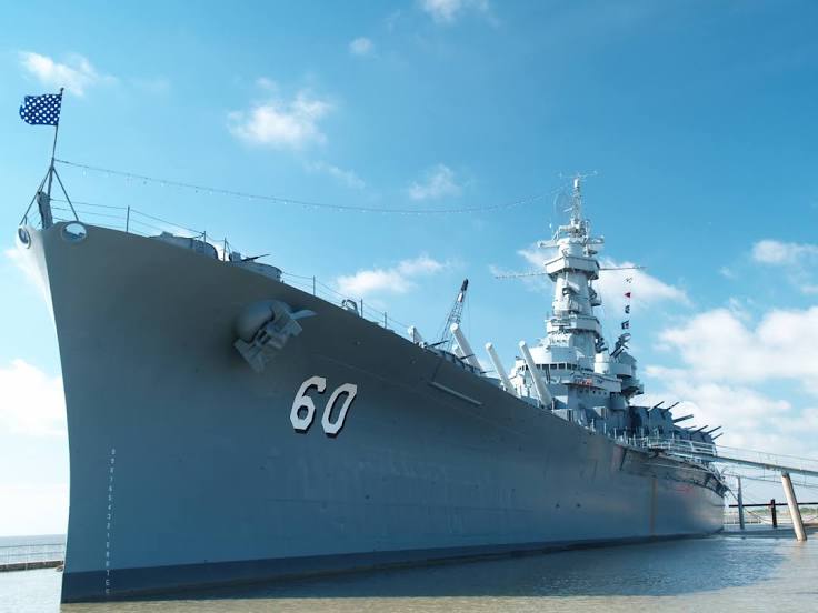
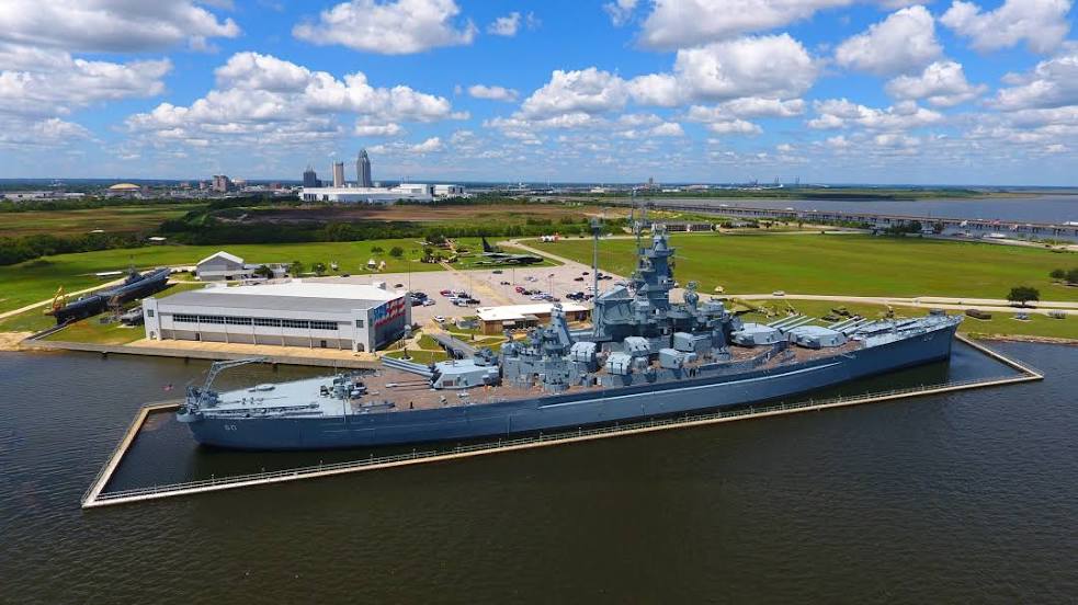
Chickasaw
Carlisle — Mobile distance, route on the map
Distance by car
Distance between Carlisle, Oklahoma, United States and Mobile, Alabama, United States by car is — km, or miles. To travel this distance by car, you need minute, or h.
Route on the map, driving directions
Car route Carlisle — Mobile was created automatically. The road on the map is shown as a blue line. By moving the markers, you can create a new route through the points you need.
Passing cities through which the car route passes: Vian, Sallisaw, Gans, Muldrow, Roland, Van Buren, Rudy, Coal Hill, Hartman, Russellville, Atkins, Morrilton, Conway, Maumelle, North Little Rock, Little Rock, Bill and Hillary Clinton National Airport, Landmark, Hensley, Pine Bluff, Gould, Desha County, Tillar, McGehee, Dermott, Lake Village, Hollandale, Yazoo City, Bentonia, Jackson, Piney Woods, D'Lo, Mendenhall, Sanatorium Road, Magee, Collins, Seminary, Lux, Hattiesburg, Forrest County, McLain, Lucedale, Semmes, Chickasaw.
Distance by plane
If you decide to take a trip Carlisle Mobile by plane, then you have to fly the distance — 842 km or 522 miles. It is marked on the map with a gray line (between two points in a straight line).
Flight time
Estimated flight time Carlisle Mobile by plane at cruising speed 750 km / h will be — 1 h. and 7 min.
Direction of movement
United States, Carlisle — right-hand traffic. United States, Mobile — right-hand traffic.
Difference in time
Carlisle and Mobile are in the same time zone. Between them there is no time difference (UTC -5 America/Chicago).
Interesting Facts
Information on alternative ways to get to your destination.
The length of this distance is about 2.1% of the total length of the equator.
The percentage of the population is clearly shown in the graph:
Carlisle — 649 (less by 189,625), Mobile — 190,274 residents.
The cost of travel
Calculate the cost of the trip yourself using the fuel consumption calculator, changing the data in the table.