Burnt Ranch — Yachats
Burnt Ranch — Elberton
Burnt Ranch — Bonita
Burnt Ranch — Iron County
Burnt Ranch — Grayridge
Burnt Ranch — Coloma
Burnt Ranch — Wrentham
Burnt Ranch — Lake City
Burnt Ranch — Woodhaven
Burnt Ranch — Bloomingdale
Burnt Ranch — La Conner
Burnt Ranch — Lithgow
Burnt Ranch — Ohkay Owingeh
Burnt Ranch — San Augustine County
Burnt Ranch — Frenchburg
Burnt Ranch — Casselton
Burnt Ranch — Harborton
Burnt Ranch — Colchester
Burnt Ranch — Fountainville
Douglas City
Shasta
Redding
Palo Cedro
Shingletown
Old Station
Susanville
Herlong
Cold Springs
Reno
Sparks
Fernley
Lovelock
Imlay
Winnemucca
Battle Mountain
Carlin
Elko
Halleck
Wells
Jackpot
Twin Falls
Kimberly
Hazelton
Burley
Travers
Power County
Pocatello
Fort Hall
Blackfoot
Shelley
Burnt Ranch — Yachats
Burnt Ranch — Elberton
Burnt Ranch — Bonita
Burnt Ranch — Iron County
Burnt Ranch — Grayridge
Burnt Ranch — Coloma
Burnt Ranch — Wrentham
Burnt Ranch — Lake City
Burnt Ranch — Woodhaven
Burnt Ranch — Bloomingdale
Burnt Ranch — La Conner
Burnt Ranch — Lithgow
Burnt Ranch — Ohkay Owingeh
Burnt Ranch — San Augustine County
Burnt Ranch — Frenchburg
Burnt Ranch — Casselton
Burnt Ranch — Harborton
Burnt Ranch — Colchester
Burnt Ranch — Fountainville
Douglas City
Shasta
Redding
Palo Cedro
Shingletown
Old Station
Susanville
Herlong
Cold Springs
Reno
Sparks
Fernley
Lovelock
Imlay
Winnemucca
Battle Mountain
Carlin
Elko
Halleck
Wells
Jackpot
Twin Falls
Kimberly
Hazelton
Burley
Travers
Power County
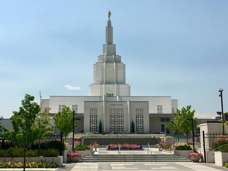
Pocatello
Fort Hall
Blackfoot
Shelley
Burnt Ranch — Idaho Falls distance, route on the map
Distance by car
Distance between Burnt Ranch, California, United States and Idaho Falls, Idaho, United States by car is — km, or miles. To travel this distance by car, you need minute, or h.
Route on the map, driving directions
Car route Burnt Ranch — Idaho Falls was created automatically. The road on the map is shown as a blue line. By moving the markers, you can create a new route through the points you need.
Passing cities through which the car route passes: Weaverville, Douglas City, Shasta, Redding, Palo Cedro, Shingletown, Old Station, Susanville, Herlong, Cold Springs, Reno, Sparks, Fernley, Lovelock, Imlay, Winnemucca, Battle Mountain, Carlin, Elko, Halleck, Wells, Jackpot, Twin Falls, Kimberly, Hazelton, Burley, Travers, Power County, Pocatello, Fort Hall, Blackfoot, Shelley.
Distance by plane
If you decide to take a trip Burnt Ranch Idaho Falls by plane, then you have to fly the distance — 988 km or 613 miles. It is marked on the map with a gray line (between two points in a straight line).
Flight time
Estimated flight time Burnt Ranch Idaho Falls by plane at cruising speed 750 km / h will be — 1 h. and 19 min.
Direction of movement
United States, Burnt Ranch — right-hand traffic. United States, Idaho Falls — right-hand traffic.
Difference in time
Burnt Ranch and Idaho Falls are in different time zones. The time difference is 1 hour (UTC -7 America/Los_Angeles, UTC -6 America/Denver).
Interesting Facts
Information on alternative ways to get to your destination.
The length of this distance is about 2.5% of the total length of the equator.
The cost of travel
Calculate the cost of the trip yourself using the fuel consumption calculator, changing the data in the table.