Langley — Camak
Langley — Brewer
Langley — Ocean Pines
Langley — Rosiere
Langley — Ekron
Langley — Port Gibson
Langley — South Point
Langley — Wales
Langley — Carrollton
Langley — Jersey City
Langley — Edwards County
Langley — Lamar
Langley — Merrimack
Langley — Kohler
Langley — Butts
Langley — Pembroke
Langley — Ruthville
Langley — Sun City
Langley — Robards
Everett
Mill Creek
Lynnwood
Bothell
Woodinville
Kirkland
Hunts Point
Bellevue
Beaux Arts Village
Newcastle
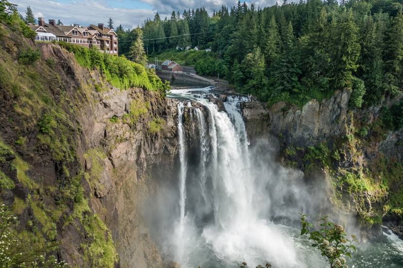
Issaquah
King County
Langley — Camak
Langley — Brewer
Langley — Ocean Pines
Langley — Rosiere
Langley — Ekron
Langley — Port Gibson
Langley — South Point
Langley — Wales
Langley — Carrollton
Langley — Jersey City
Langley — Edwards County
Langley — Lamar
Langley — Merrimack
Langley — Kohler
Langley — Butts
Langley — Pembroke
Langley — Ruthville
Langley — Sun City
Langley — Robards
Everett
Mill Creek
Lynnwood
Bothell
Woodinville
Kirkland
Hunts Point
Bellevue
Beaux Arts Village
Newcastle
Issaquah
King County
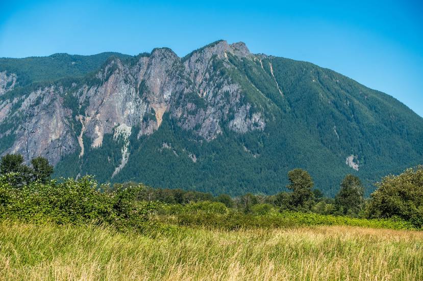
Langley — Snoqualmie distance, route on the map
Distance by car
Distance between Langley, Washington, United States and Snoqualmie, Washington, United States by car is — km, or miles. To travel this distance by car, you need minute, or h.
Route on the map, driving directions
Car route Langley — Snoqualmie was created automatically. The road on the map is shown as a blue line. By moving the markers, you can create a new route through the points you need.
Passing cities through which the car route passes: Mukilteo, Everett, Mill Creek, Lynnwood, Bothell, Woodinville, Kirkland, Hunts Point, Bellevue, Beaux Arts Village, Newcastle, Issaquah, King County.
Distance by plane
If you decide to take a trip Langley Snoqualmie by plane, then you have to fly the distance — 72 km or 45 miles. It is marked on the map with a gray line (between two points in a straight line).
Flight time
Estimated flight time Langley Snoqualmie by plane at cruising speed 750 km / h will be — 5 min.
Direction of movement
United States, Langley — right-hand traffic. United States, Snoqualmie — right-hand traffic.
Difference in time
Langley and Snoqualmie are in the same time zone. Between them there is no time difference (UTC -7 America/Los_Angeles).
Interesting Facts
Information on alternative ways to get to your destination.
The length of this distance is about 0.2% of the total length of the equator.
The percentage of the population is clearly shown in the graph:
Langley — 1,035 (less by 9,635), Snoqualmie — 10,670 residents.
The cost of travel
Calculate the cost of the trip yourself using the fuel consumption calculator, changing the data in the table.