 Saint Paul
Amarillo
Evansville
Southfield
Flora
Auburn Hills
Lisle
Naperville
Batavia
Mountain View
Omaha
Clearwater
Shakopee
Celina
North Wales
Morristown
Bowie
Beaverton
Belmont
Saint Paul
Amarillo
Evansville
Southfield
Flora
Auburn Hills
Lisle
Naperville
Batavia
Mountain View
Omaha
Clearwater
Shakopee
Celina
North Wales
Morristown
Bowie
Beaverton
Belmont
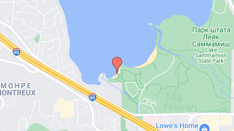
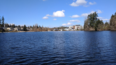
Issaquah on the map, United States
Where is located Issaquah
Exact location — Issaquah, King County, Washington, United States, marked on the map with a red marker.
Coordinates
Issaquah, United States coordinates in decimal format: latitude — 47.5301011, longitude — -122.0326191. When converted to degrees, minutes, seconds Issaquah has the following coordinates: 47°31′48.36 north latitude and -122°1′57.43 east longitude.
Population
Issaquah, King County, Washington, United States, according to our data the population is — 16,853 residents, which is about 0% of the total population of the country (United States).
Comparison of the population on the graph:
Exact time
Time zone for this location Issaquah — UTC -7 America/Los_Angeles. Exact time — friday, 4 april 2024 year, 02 h. 34 minutes.
Sunrise and sunset
Issaquah, sunrise and sunset data for a date — friday 26.04.2024.
| Sunrise | Sunset | Day (duration) |
|---|---|---|
| 06:01 -2 minutes | 20:10 +2 minutes | 14 h. 12 minutes. +4 minutes |
You can control the scale of the map using the auxiliary tools to find out exactly where it is located Issaquah. When you change the scale of the map, the width of the ruler also changes (in kilometers and miles).
Nearby cities
The largest cities that are located nearby:
- Bellevue — 15 km
- Seattle — 24 km
- Tacoma — 43 km
- Victoria
 (Canada) — 139 km
 - Abbotsford (Canada) — 170 km
- Delta (Canada) — 187 km
- Surrey (Canada) — 192 km
- Richmond (Canada) — 198 km
- Coquitlam (Canada) — 201 km
- Burnaby (Canada) — 203 km
- Anmore (Canada) — 206 km
- Vancouver (Canada) — 209 km
- Portland — 227 km
- Salem — 297 km
- Kelowna (Canada) — 317 km
- Spokane — 343 km
- Eugene — 394 km
- Boise — 636 km
- Calgary (Canada) — 676 km
Distance to neighboring capitals:
- Ottawa (Canada) — 3504 km
- Mexico City
 (Mexico) — 3748 km
 - Nuuk
 (Greenland) — 4478 km
 - Belmopan
 (Belize) — 4529 km
 - Guatemala City
 (Guatemala) — 4671 km
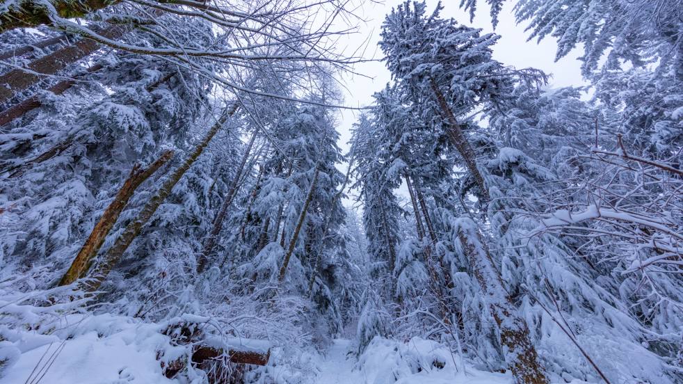
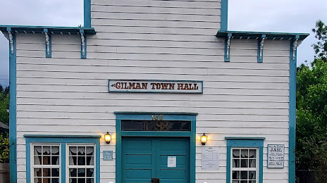
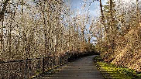
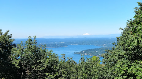
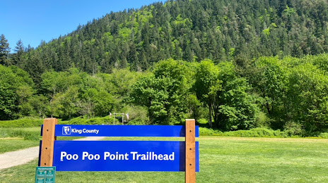
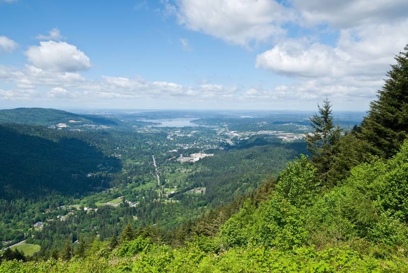
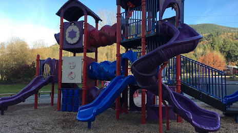
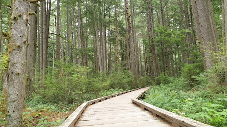
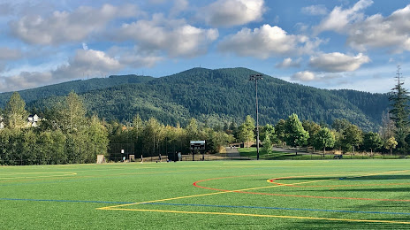
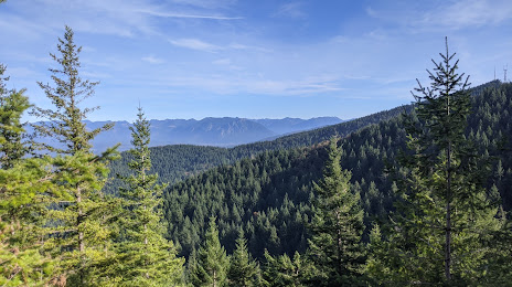
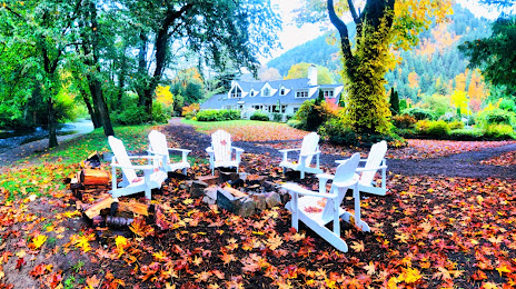
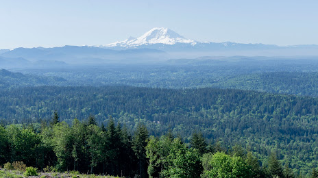
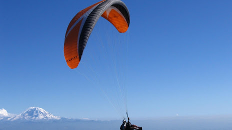
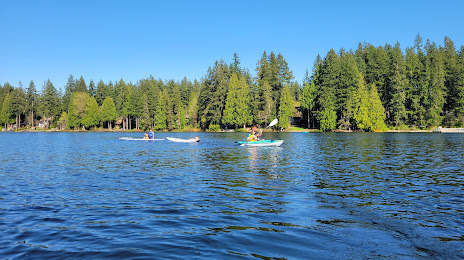
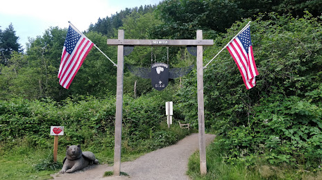
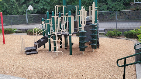
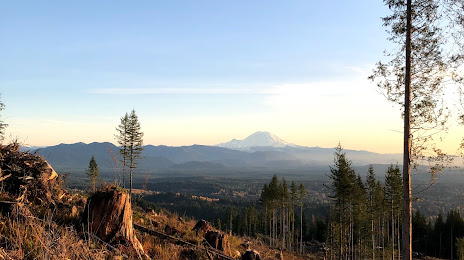
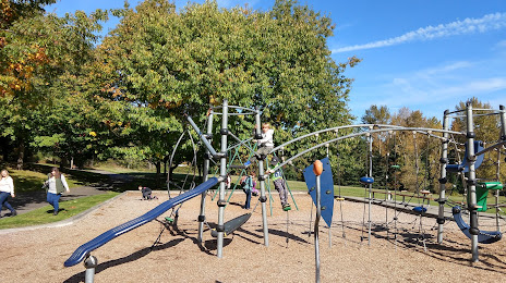
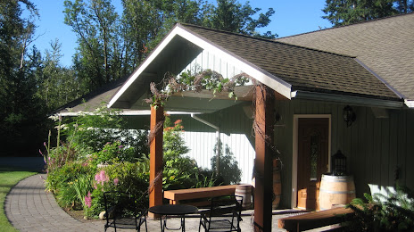
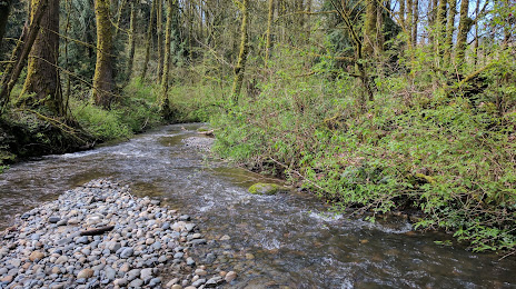
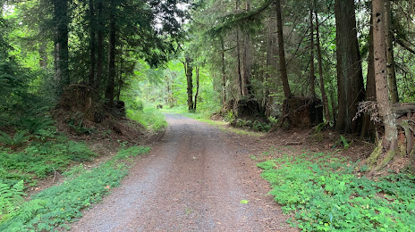
Attractions


Distance to the capital
Distance to the capital (Washington) is about — 3715 km.