 Logansport
Perris
Issaquah
Morehead
Saint Clair Shores
Crookston
Warner Robins
Vienna
Minneapolis
Merrimac
Laconia
Dedham
Woburn
North Bend
Bedford
Newburyport
Waltham
Providence
Branford
Logansport
Perris
Issaquah
Morehead
Saint Clair Shores
Crookston
Warner Robins
Vienna
Minneapolis
Merrimac
Laconia
Dedham
Woburn
North Bend
Bedford
Newburyport
Waltham
Providence
Branford
Shakopee on the map, United States
Where is located Shakopee
Exact location — Shakopee, Scott County, Minnesota, United States, marked on the map with a red marker.
Coordinates
Shakopee, United States coordinates in decimal format: latitude — 44.7973962, longitude — -93.5272861. When converted to degrees, minutes, seconds Shakopee has the following coordinates: 44°47′50.63 north latitude and -93°31′38.23 east longitude.
Population
Shakopee, Scott County, Minnesota, United States, according to our data the population is — 30,384 residents, which is about 0% of the total population of the country (United States).
Comparison of the population on the graph:
Exact time
Time zone for this location Shakopee — UTC -5 America/Chicago. Exact time — friday, 4 april 2024 year, 22 h. 32 minutes.
Sunrise and sunset
Shakopee, sunrise and sunset data for a date — friday 26.04.2024.
| Sunrise | Sunset | Day (duration) |
|---|---|---|
| 06:13 -2 minutes | 20:10 +2 minutes | 14 h. 0 minutes. +4 minutes |
You can control the scale of the map using the auxiliary tools to find out exactly where it is located Shakopee. When you change the scale of the map, the width of the ruler also changes (in kilometers and miles).
Nearby cities
The largest cities that are located nearby:
- Minneapolis — 29 km
- Saint Paul — 38 km
- Sioux Falls — 292 km
- Des Moines — 354 km
- Madison — 384 km
- Green Bay — 435 km
- Omaha — 442 km
- Rockford — 458 km
- Milwaukee — 494 km
- Lincoln — 512 km
- Aurora — 545 km
- Naperville — 557 km
- Peoria — 561 km
- Joliet — 578 km
- Chicago — 583 km
- Winnipeg
 (Canada) — 620 km
 - North Kansas City — 632 km
- Independence — 635 km
- Kansas City — 636 km
Distance to neighboring capitals:
- Ottawa (Canada) — 1398 km
- Mexico City
 (Mexico) — 2868 km
 - Belmopan
 (Belize) — 3096 km
 - Nuuk
 (Greenland) — 3353 km
 - Guatemala City
 (Guatemala) — 3369 km
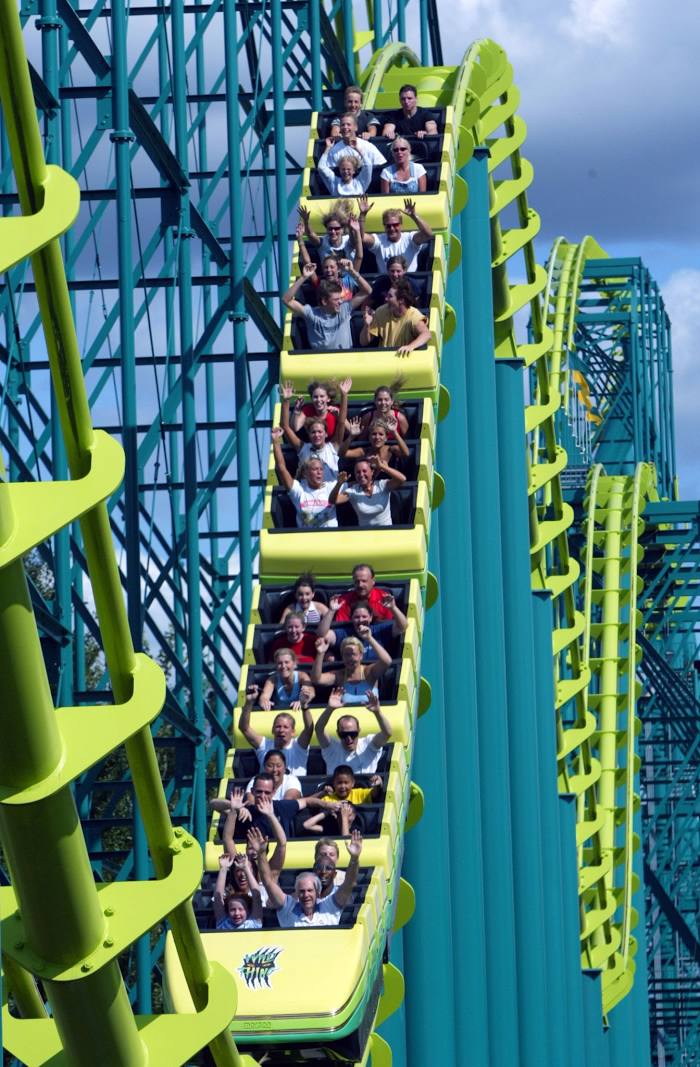
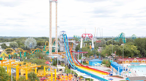
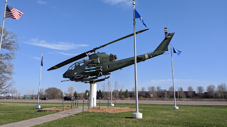
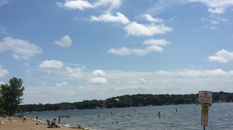
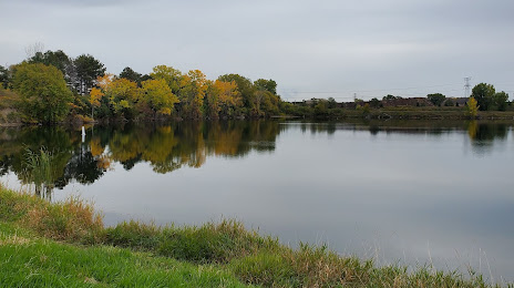
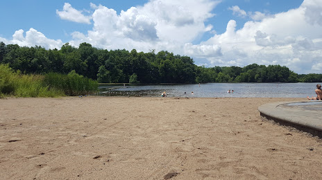
Attractions


Distance to the capital
Distance to the capital (Washington) is about — 1511 km.