
 Le Bourget
Crolles
Neuilly-sur-Seine
Valbonne
Étampes
Villeurbanne
Strasbourg
Nanterre
Flers
La Forclaz
Templeuve
Baisieux
Comines
Le Bourget
Crolles
Neuilly-sur-Seine
Valbonne
Étampes
Villeurbanne
Strasbourg
Nanterre
Flers
La Forclaz
Templeuve
Baisieux
Comines
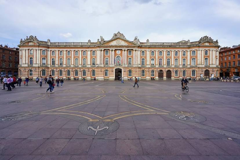
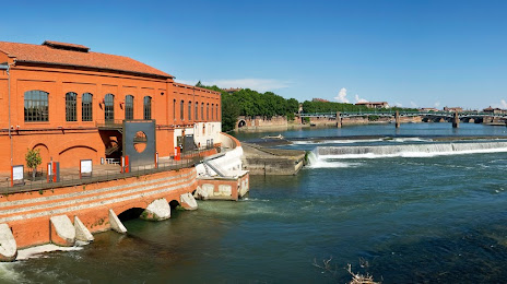
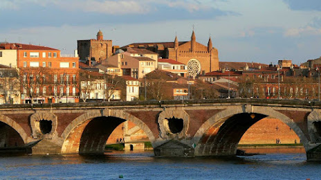
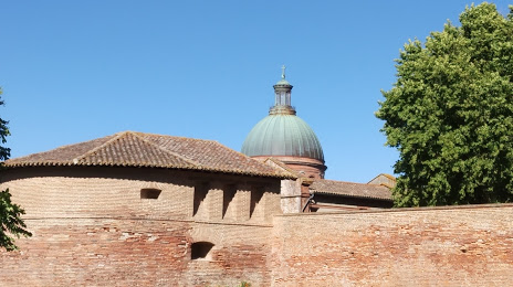
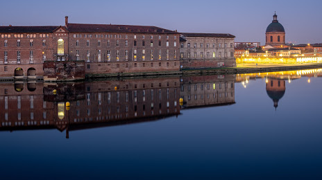
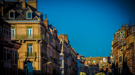
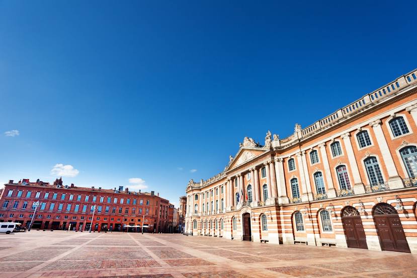
Toulouse on the map, France
Where is located Toulouse
Exact location — Toulouse, Haute-Garonne, Midi-Pyrénées, France, marked on the map with a red marker.
Coordinates
Toulouse, France coordinates in decimal format: latitude — 43.604652, longitude — 1.444209. When converted to degrees, minutes, seconds Toulouse has the following coordinates: 43°36′16.75 north latitude and 1°26′39.15 east longitude.
Population
Toulouse, Haute-Garonne, Midi-Pyrénées, France, according to our data the population is — 411,145 residents, which is about 0.6% of the total population of the country (France).
Comparison of the population on the graph:
Exact time
Time zone for this location Toulouse — UTC +2 Europe/Paris. Exact time — monday, 5 may 2024 year, 09 h. 04 minutes.
Sunrise and sunset
Toulouse, sunrise and sunset data for a date — monday 13.05.2024.
| Sunrise | Sunset | Day (duration) |
|---|---|---|
| 06:34 -1 minute | 21:06 +1 minute | 14 h. 30 minutes. +2 minutes |
You can control the scale of the map using the auxiliary tools to find out exactly where it is located Toulouse. When you change the scale of the map, the width of the ruler also changes (in kilometers and miles).
Nearby cities
The largest cities that are located nearby:
- Perpignan — 155 km
- Montpellier — 195 km
- Bordeaux — 209 km
- Lleida
 (Spain) — 230 km
 - Terrassa (Spain) — 230 km
- Nimes — 234 km
- Sabadell (Spain) — 234 km
- Mataró (Spain) — 243 km
- Limoges — 247 km
- Santa Coloma de Gramenet (Spain) — 247 km
- Badalona (Spain) — 248 km
- L'Hospitalet de Llobregat (Spain) — 254 km
- Pamplona (Spain) — 265 km
- Clermont-Ferrand — 272 km
- Tarragona (Spain) — 275 km
- San Sebastián (Spain) — 277 km
- Zaragoza (Spain) — 290 km
- Saint-Étienne — 305 km
- Marseille — 318 km
Distance to neighboring capitals:
- Andorra la Vella
 (Andorra) — 122 km
 - Madrid (Spain) — 554 km
- Bern
 (Switzerland) — 599 km
 - Vaduz
 (Liechtenstein) — 743 km
 - Brussels
 (Belgium) — 835 km
 - London
 (United Kingdom) — 887 km
 - Rome
 (Italy) — 922 km
 - Amsterdam
 (Netherlands) — 1008 km
 - Lisbon
 (Portugal) — 1038 km
 - Prague
 (Czech Republic) — 1220 km
 - Vienna
 (Austria) — 1261 km
 - Berlin
 (Germany) — 1328 km
 - Copenhagen
 (Denmark) — 1559 km
 - Warsaw
 (Poland) — 1737 km
 - Nicosia
 — 2879 km
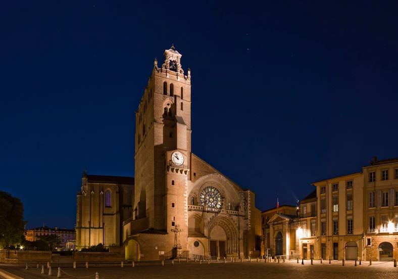
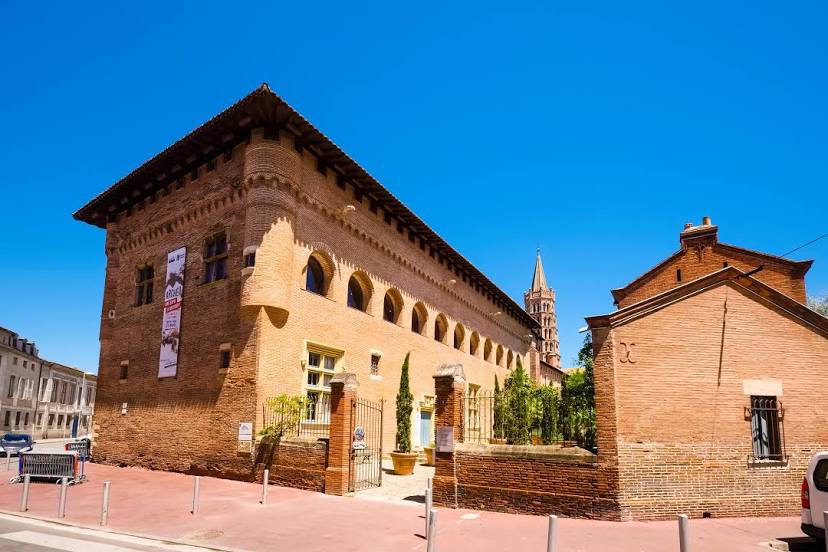
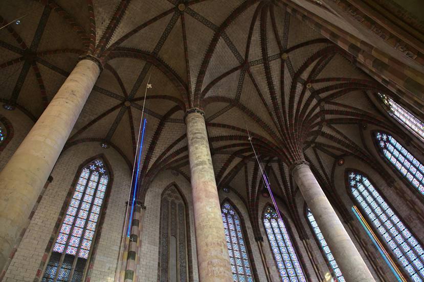
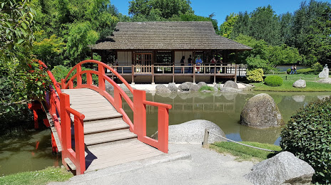
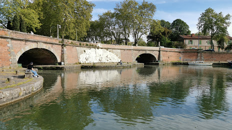
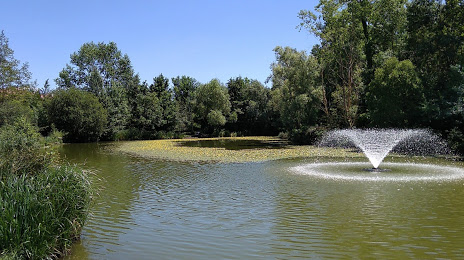
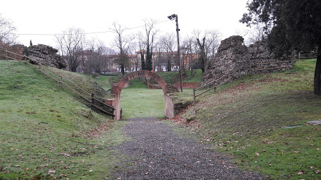
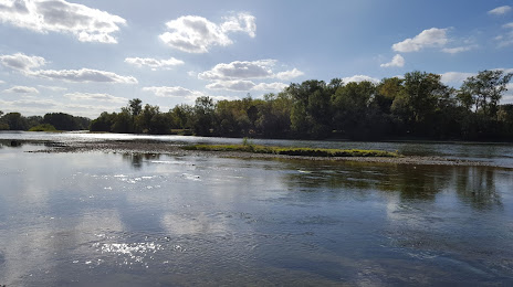
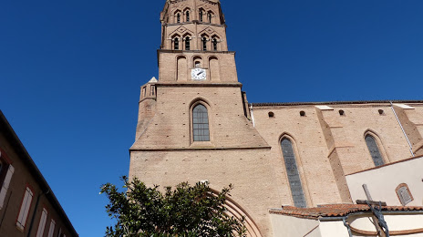
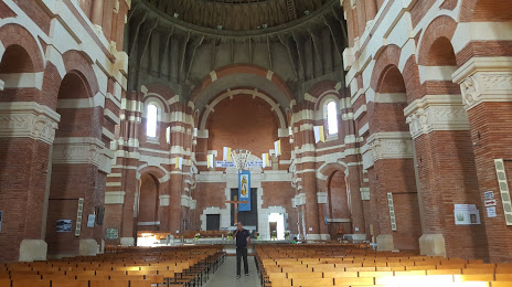
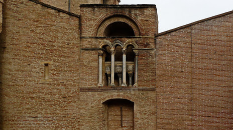
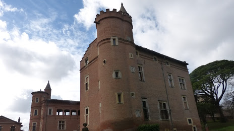
Attractions


Distance to the capital
Distance to the capital (Paris) is about — 588 km.