
 Bron
Andrézieux-Bouthéon
Metz
Besançon
Mérignac
Lognes
Avaray
Nancy
La Couronne
Toulouse
Issy-les-Moulineaux
Cestas
Paris
Montpellier
Lyon
Rexingen
Offendorf
Leers
Maulde
Bron
Andrézieux-Bouthéon
Metz
Besançon
Mérignac
Lognes
Avaray
Nancy
La Couronne
Toulouse
Issy-les-Moulineaux
Cestas
Paris
Montpellier
Lyon
Rexingen
Offendorf
Leers
Maulde
Amiens on the map, France
Where is located Amiens
Exact location — Amiens, Somme, Picardy, France, marked on the map with a red marker.
Coordinates
Amiens, France coordinates in decimal format: latitude — 49.894067, longitude — 2.295753. When converted to degrees, minutes, seconds Amiens has the following coordinates: 49°53′38.64 north latitude and 2°17′44.71 east longitude.
Population
Amiens, Somme, Picardy, France, according to our data the population is — 138,816 residents, which is about 0.2% of the total population of the country (France).
Comparison of the population on the graph:
Exact time
Time zone for this location Amiens — UTC +2 Europe/Paris. Exact time — wednesday, 5 may 2024 year, 10 h. 38 minutes.
Sunrise and sunset
Amiens, sunrise and sunset data for a date — wednesday 8.05.2024.
| Sunrise | Sunset | Day (duration) |
|---|---|---|
| 06:18 -2 minutes | 21:15 +1 minute | 15 h. 0 minutes. +3 minutes |
You can control the scale of the map using the auxiliary tools to find out exactly where it is located Amiens. When you change the scale of the map, the width of the ruler also changes (in kilometers and miles).
Nearby cities
The largest cities that are located nearby:
- Lille — 97 km
- Rouen — 99 km
- Boulogne-Billancourt — 117 km
- Reims — 144 km
- Charleroi
 (Belgium) — 162 km
 - Le Havre — 163 km
- Eastbourne
 (United Kingdom) — 170 km
 - Brussels (Belgium) — 178 km
- Namur (Belgium) — 192 km
- Gillingham (United Kingdom) — 204 km
- Antwerp (Belgium) — 207 km
- Caen — 208 km
- Southend-on-Sea (United Kingdom) — 213 km
- Crawley (United Kingdom) — 219 km
- Orléans — 222 km
- Basildon (United Kingdom) — 224 km
- Sutton (United Kingdom) — 236 km
- Chelmsford (United Kingdom) — 239 km
- London (United Kingdom) — 244 km
Distance to neighboring capitals:
- Brussels (Belgium) — 181 km
- London (United Kingdom) — 248 km
- Amsterdam
 (Netherlands) — 330 km
 - Bern
 (Switzerland) — 502 km
 - Vaduz
 (Liechtenstein) — 614 km
 - Andorra la Vella
 (Andorra) — 824 km
 - Berlin
 (Germany) — 826 km
 - Prague
 (Czech Republic) — 868 km
 - Copenhagen
 (Denmark) — 942 km
 - Vienna
 (Austria) — 1042 km
 - Madrid
 (Spain) — 1153 km
 - Rome
 (Italy) — 1187 km
 - Warsaw
 (Poland) — 1330 km
 - Lisbon
 (Portugal) — 1537 km
 - Nicosia
 — 2995 km
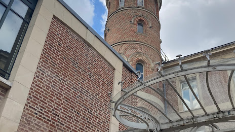
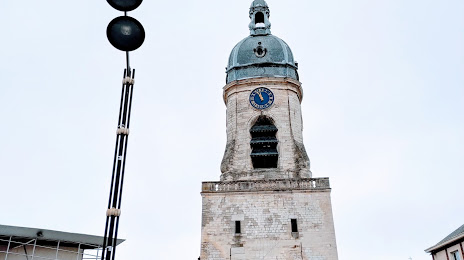
Attractions


Distance to the capital
Distance to the capital (Paris) is about — 115 km.