Guadalajara — Airport
Guadalajara — Guaxcama
Guadalajara — La Paz
Guadalajara — Tijuana
Guadalajara — La Tortuga
Guadalajara — El Roblito
Guadalajara — Ensenada
Guadalajara — La Ventana
Guadalajara — Sahuayo
Guadalajara — Tepango de Rodríguez
Guadalajara — Hermanas
Guadalajara — Ocampo
Guadalajara — Villa Mariano Matamoros
Guadalajara — La Tinaja
Guadalajara — Aquiles Serdán
Guadalajara — José María Morelos
Guadalajara — Ciudad Victoria
Guadalajara — Chignahuapan
Guadalajara — Purépero de Echáiz
Tlaquepaque
Tlaquepaque
Tonalá
Puente Grande
La Laja
Zapotlanejo
Acatic
Tierras Coloradas
Cuatro Caminos
Tepatitlan de Morelos
Valle de Guadalupe
Jalostotitlán
San Juan de los Lagos
Estancia
Lyon
Duarte
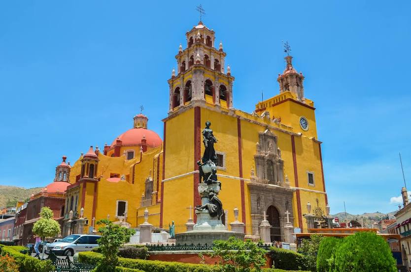
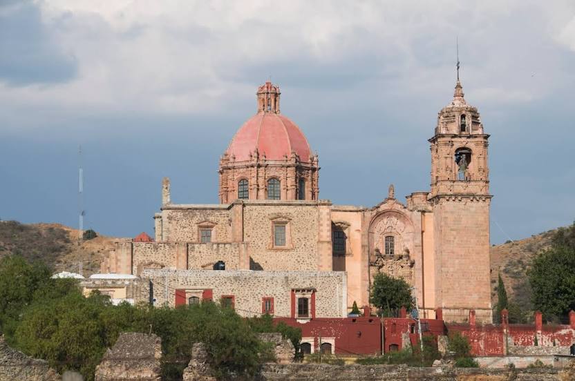
Guanajuato International Airport
Silao
Marfil
Guadalajara — Airport
Guadalajara — Guaxcama
Guadalajara — La Paz
Guadalajara — Tijuana
Guadalajara — La Tortuga
Guadalajara — El Roblito
Guadalajara — Ensenada
Guadalajara — La Ventana
Guadalajara — Sahuayo
Guadalajara — Tepango de Rodríguez
Guadalajara — Hermanas
Guadalajara — Ocampo
Guadalajara — Villa Mariano Matamoros
Guadalajara — La Tinaja
Guadalajara — Aquiles Serdán
Guadalajara — José María Morelos
Guadalajara — Ciudad Victoria
Guadalajara — Chignahuapan
Guadalajara — Purépero de Echáiz
Tlaquepaque
Tlaquepaque
Tonalá
Puente Grande
La Laja
Zapotlanejo
Acatic
Tierras Coloradas
Cuatro Caminos
Tepatitlan de Morelos
Valle de Guadalupe
Jalostotitlán
San Juan de los Lagos
Estancia
Lyon
Duarte
Guanajuato International Airport
Silao
Marfil
Guadalajara — Guanajuato distance, route on the map
Distance by car
Distance between Guadalajara, Jalisco, Mexico and Guanajuato, Guanajuato, Mexico by car is — km, or miles. To travel this distance by car, you need minute, or h.
Route on the map, driving directions
Car route Guadalajara — Guanajuato was created automatically. The road on the map is shown as a blue line. By moving the markers, you can create a new route through the points you need.
Passing cities through which the car route passes: Railway, Tlaquepaque, Tlaquepaque, Tonalá, Puente Grande, La Laja, Zapotlanejo, Acatic, Tierras Coloradas, Cuatro Caminos, Tepatitlan de Morelos, Valle de Guadalupe, Jalostotitlán, San Juan de los Lagos, Estancia, Lyon, Duarte, Guanajuato International Airport, Silao, Marfil.
Distance by plane
If you decide to take a trip Guadalajara Guanajuato by plane, then you have to fly the distance — 221 km or 137 miles. It is marked on the map with a gray line (between two points in a straight line).
Flight time
Estimated flight time Guadalajara Guanajuato by plane at cruising speed 750 km / h will be — 17 min.
Direction of movement
Mexico, Guadalajara — right-hand traffic. Mexico, Guanajuato — right-hand traffic.
Difference in time
Guadalajara and Guanajuato are in the same time zone. Between them there is no time difference (UTC -6 America/Mexico_City).
Interesting Facts
Information on alternative ways to get to your destination.
The length of this distance is about 0.6% of the total length of the equator.
The percentage of the population is clearly shown in the graph:
Guadalajara — 1,640,649, Guanajuato — 78,368 residents (less by 1,562,281).
The cost of travel
Calculate the cost of the trip yourself using the fuel consumption calculator, changing the data in the table.