Goiânia Airport — Osvaldo Cruz
Goiânia Airport — Jacaraci
Goiânia Airport — Cabo Frio
Goiânia Airport — Porto Alegre
Goiânia Airport — Itapemirim
Goiânia Airport — Capetinga
Goiânia Airport — Pacajus
Goiânia Airport — Rio Fortuna
Goiânia Airport — Sinop
Goiânia Airport — Santa Vitória do Palmar
Goiânia Airport — Capinzal
Goiânia Airport — Santa Rita do Araguaia
Goiânia Airport — Governador Celso Ramos
Goiânia Airport — Assis
Goiânia Airport — Taiúva
Goiânia Airport — Arinos
Goiânia Airport — Campo Grande
Goiânia Airport — Querência do Norte
Goiânia Airport — Igaratinga
Rialma
Uruaçu
Porangatu
Cariri do Tocantins
Gurupi
Paraíso do Tocantins
Miranorte
Colinas do Tocantins
Nova Olinda
Araguaína
Porto Franco
Imperatriz
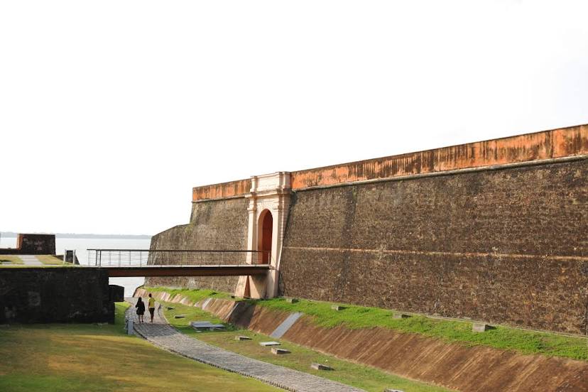
Acará
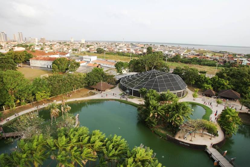
Ananindeua
Goiânia Airport — Osvaldo Cruz
Goiânia Airport — Jacaraci
Goiânia Airport — Cabo Frio
Goiânia Airport — Porto Alegre
Goiânia Airport — Itapemirim
Goiânia Airport — Capetinga
Goiânia Airport — Pacajus
Goiânia Airport — Rio Fortuna
Goiânia Airport — Sinop
Goiânia Airport — Santa Vitória do Palmar
Goiânia Airport — Capinzal
Goiânia Airport — Santa Rita do Araguaia
Goiânia Airport — Governador Celso Ramos
Goiânia Airport — Assis
Goiânia Airport — Taiúva
Goiânia Airport — Arinos
Goiânia Airport — Campo Grande
Goiânia Airport — Querência do Norte
Goiânia Airport — Igaratinga
Rialma
Uruaçu
Porangatu
Cariri do Tocantins
Gurupi
Paraíso do Tocantins
Miranorte
Colinas do Tocantins
Nova Olinda
Araguaína
Porto Franco
Imperatriz
Acará
Ananindeua
Goiânia Airport — Belém distance, route on the map
Distance by car
Distance between Goiânia Airport, Goiás, Brazil and Belém, Pará, Brazil by car is — km, or miles. To travel this distance by car, you need minute, or h.
Route on the map, driving directions
Car route Goiânia Airport — Belém was created automatically. The road on the map is shown as a blue line. By moving the markers, you can create a new route through the points you need.
Passing cities through which the car route passes: Nerópolis, Rialma, Uruaçu, Porangatu, Cariri do Tocantins, Gurupi, Paraíso do Tocantins, Miranorte, Colinas do Tocantins, Nova Olinda, Araguaína, Porto Franco, Imperatriz, Acará, Ananindeua.
Distance by plane
If you decide to take a trip Goiânia Airport Belém by plane, then you have to fly the distance — 1690 km or 1048 miles. It is marked on the map with a gray line (between two points in a straight line).
Flight time
Estimated flight time Goiânia Airport Belém by plane at cruising speed 750 km / h will be — 2 h. and 15 min.
Direction of movement
Brazil, Goiânia Airport — right-hand traffic. Brazil, Belém — right-hand traffic.
Difference in time
Goiânia Airport and Belém are in the same time zone. Between them there is no time difference (UTC -3 America/Sao_Paulo).
Interesting Facts
Information on alternative ways to get to your destination.
The length of this distance is about 4.2% of the total length of the equator.
The cost of travel
Calculate the cost of the trip yourself using the fuel consumption calculator, changing the data in the table.