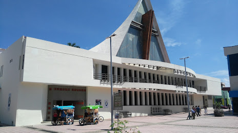
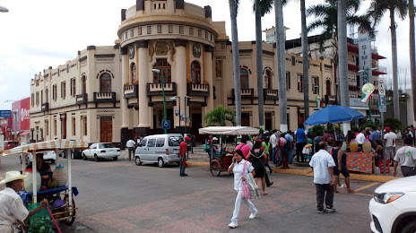
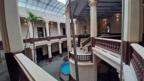
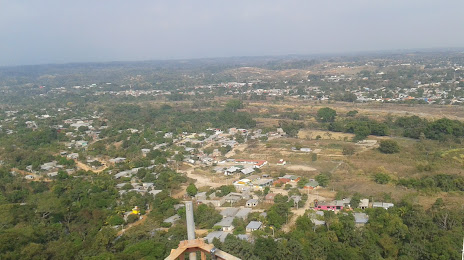
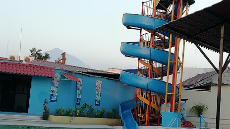
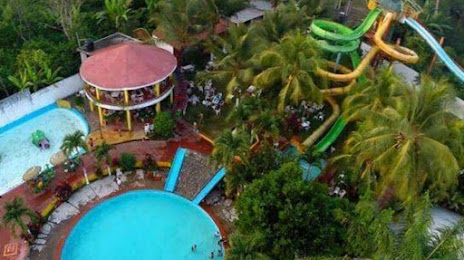
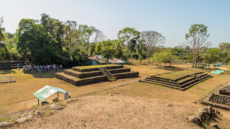
Chiapa de Corzo — Rodriguez Clara
Chiapa de Corzo — Muzquiz
Chiapa de Corzo — The crosses
Chiapa de Corzo — Juan Rodríguez Clara
Chiapa de Corzo — Abejones
Chiapa de Corzo — Nuevo Casas Grandes Municipality
Chiapa de Corzo — Salitre Grande
Chiapa de Corzo — Jalcocotán
Chiapa de Corzo — Isla Aguada
Chiapa de Corzo — Apozol
Chiapa de Corzo — La Tigra
Chiapa de Corzo — Chanchen
Chiapa de Corzo — Santa María Tonameca
Chiapa de Corzo — José María Pino Suárez
Chiapa de Corzo — Unión Juárez
Chiapa de Corzo — Chapala
Chiapa de Corzo — Mexico City
Chiapa de Corzo — Ciudad Guadalupe Victoria
Chiapa de Corzo — Tateposco
Chiapas
Villa Misol-Ha
Berriozábal
Ocozocoautla de Espinosa
Jiquipilas
Catarina
A Nicolás Bravo
Arriaga
El Otatal
Tonalá
General Alberto Pineda
Gustavo López Gutiérrez
Pijijiapan
Mapastepec
Acacoyagua
Escuintla
Acapetahua
Huixtla
Huehuetán
Chiapa de Corzo — Tapachula distance, route on the map
Distance by car
Distance between Chiapa de Corzo, Chiapas, Mexico and Tapachula, Chiapas, Mexico by car is — km, or miles. To travel this distance by car, you need minute, or h.
Route on the map, driving directions
Car route Chiapa de Corzo — Tapachula was created automatically. The road on the map is shown as a blue line. By moving the markers, you can create a new route through the points you need.
Passing cities through which the car route passes: Tuxtla Gutiérrez, Chiapas, Villa Misol-Ha, Berriozábal, Ocozocoautla de Espinosa, Jiquipilas, Catarina, A Nicolás Bravo, Arriaga, El Otatal, Tonalá, General Alberto Pineda, Gustavo López Gutiérrez, Pijijiapan, Mapastepec, Acacoyagua, Escuintla, Acapetahua, Huixtla, Huehuetán.
Distance by plane
If you decide to take a trip Chiapa de Corzo Tapachula by plane, then you have to fly the distance — 215 km or 133 miles. It is marked on the map with a gray line (between two points in a straight line).
Flight time
Estimated flight time Chiapa de Corzo Tapachula by plane at cruising speed 750 km / h will be — 17 min.
Direction of movement
Mexico, Chiapa de Corzo — right-hand traffic. Mexico, Tapachula — right-hand traffic.
Difference in time
Chiapa de Corzo and Tapachula are in the same time zone. Between them there is no time difference (UTC -6 America/Mexico_City).
Interesting Facts
Information on alternative ways to get to your destination.
The length of this distance is about 0.5% of the total length of the equator.
The percentage of the population is clearly shown in the graph:
Chiapa de Corzo — 32,182 (less by 165,779), Tapachula — 197,961 residents.
The cost of travel
Calculate the cost of the trip yourself using the fuel consumption calculator, changing the data in the table.