Miedzyrzec Podlaski — Zakrzew
Miedzyrzec Podlaski — Mielno
Miedzyrzec Podlaski — Obryte
Miedzyrzec Podlaski — Kalwaria
Miedzyrzec Podlaski — Licheń
Miedzyrzec Podlaski — Nowa Ruda
Miedzyrzec Podlaski — Połajewo
Miedzyrzec Podlaski — Zdroje
Miedzyrzec Podlaski — Rybnik
Miedzyrzec Podlaski — Gluszyca
Miedzyrzec Podlaski — Dybów-Kolonia
Miedzyrzec Podlaski — Stubno
Miedzyrzec Podlaski — Dzierzgów
Miedzyrzec Podlaski — Tarnowskie Gory
Miedzyrzec Podlaski — Zagozd
Miedzyrzec Podlaski — Green
Miedzyrzec Podlaski — Ujście
Miedzyrzec Podlaski — Sierpc
Miedzyrzec Podlaski — Odrzywół
Kock
Firlej
Lubartow
Serniki
Baranówka
Niemce
Jastków
Radawczyk Drugi
Niedrzwica Duża
Wilkołaz
Krasnik
Szastarka
Modliborzyce
Janow Lubelski
Ulanów
Nisko
Jeżowe
Kamień
Górno
Sokołów Małopolski
Jasionka
Trzebownisko
Łąka
Strażów
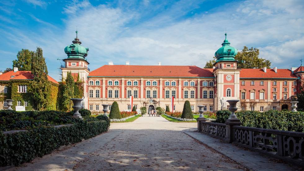
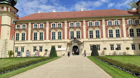
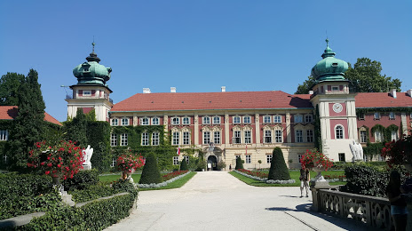
Miedzyrzec Podlaski — Lancut distance, route on the map
Distance by car
Distance between Miedzyrzec Podlaski, Lublin Voivodeship, Poland and Lancut, Podkarpackie Voivodeship, Poland by car is — km, or miles. To travel this distance by car, you need minute, or h.
Route on the map, driving directions
Car route Miedzyrzec Podlaski — Lancut was created automatically. The road on the map is shown as a blue line. By moving the markers, you can create a new route through the points you need.
Passing cities through which the car route passes: Radzyn Podlaski, Kock, Firlej, Lubartow, Serniki, Baranówka, Niemce, Jastków, Radawczyk Drugi, Niedrzwica Duża, Wilkołaz, Krasnik, Szastarka, Modliborzyce, Janow Lubelski, Ulanów, Nisko, Jeżowe, Kamień, Górno, Sokołów Małopolski, Jasionka, Trzebownisko, Łąka, Strażów.
Distance by plane
If you decide to take a trip Miedzyrzec Podlaski Lancut by plane, then you have to fly the distance — 217 km or 135 miles. It is marked on the map with a gray line (between two points in a straight line).
Flight time
Estimated flight time Miedzyrzec Podlaski Lancut by plane at cruising speed 750 km / h will be — 17 min.
Direction of movement
Poland, Miedzyrzec Podlaski — right-hand traffic. Poland, Lancut — right-hand traffic.
Difference in time
Miedzyrzec Podlaski and Lancut are in the same time zone. Between them there is no time difference (UTC +2 Europe/Warsaw).
Interesting Facts
Information on alternative ways to get to your destination.
The length of this distance is about 0.5% of the total length of the equator.
The percentage of the population is clearly shown in the graph:
Miedzyrzec Podlaski — 17,158 (less by 1,108), Lancut — 18,266 residents.
The cost of travel
Calculate the cost of the trip yourself using the fuel consumption calculator, changing the data in the table.