Pestana — Sao Jose de Rio Preto
Pestana — Porto Alegre
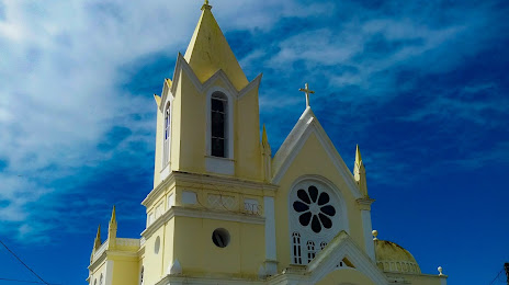
Pestana — Graça
Pestana — Barra do Ribeiro
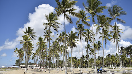
Pestana — Alagoinhas
Pestana — Farias Brito
Pestana — Correia Pinto
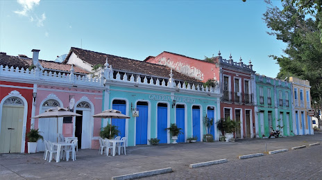
Pestana — Bela Vista do Paraíso
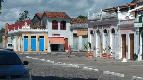
Pestana — Uruguaiana
Pestana — Feira Grande
Pestana — Santo Cristo
Pestana — Santa Maria do Pará
Pestana — Cidreira
Pestana — Mirabela
Pestana — Itueta
Pestana — Chaves
Pestana — Espírito Santo
Pestana — Ferros
Pestana — Realeza
Rochdale
Cajamar
Francisco Morato
Várzea Paulista
Jarinu
Atibaia
Extrema
Camanducaia
Cambuí
Pouso Alegre
São Sebastião da Bela Vista
Campanha
Três Corações
Carmo da Cachoeira
Carmo da Cachoeira
Santo Antônio do Amparo
Oliveira
Oliveira
Itatiaiuçu
Igarapé
São Joaquim de Bicas
Betim
Contagem
Barreiro
Calafate
Prado
Jaraguá
Sabará
Nova União
João Monlevade
Nova Era
Timóteo
Coronel Fabriciano
Ipatinga
Ipaba
Santana do Paraíso
Naque
Valadares Governor
Frei Inocêncio
Jampruca
Campanário
Itambacuri
Teófilo Otoni
Carlos Chagas
Itamaraju
Pestana — Sao Jose de Rio Preto
Pestana — Porto Alegre
Pestana — Graça
Pestana — Barra do Ribeiro
Pestana — Alagoinhas
Pestana — Farias Brito
Pestana — Correia Pinto
Pestana — Bela Vista do Paraíso
Pestana — Uruguaiana
Pestana — Feira Grande
Pestana — Santo Cristo
Pestana — Santa Maria do Pará
Pestana — Cidreira
Pestana — Mirabela
Pestana — Itueta
Pestana — Chaves
Pestana — Espírito Santo
Pestana — Ferros
Pestana — Realeza
Rochdale
Cajamar
Francisco Morato
Várzea Paulista
Jarinu
Atibaia
Extrema
Camanducaia
Cambuí
Pouso Alegre
São Sebastião da Bela Vista
Campanha
Três Corações
Carmo da Cachoeira
Carmo da Cachoeira
Santo Antônio do Amparo
Oliveira
Oliveira
Itatiaiuçu
Igarapé
São Joaquim de Bicas
Betim
Contagem
Barreiro
Calafate
Prado
Jaraguá
Sabará
Nova União
João Monlevade
Nova Era
Timóteo
Coronel Fabriciano
Ipatinga
Ipaba
Santana do Paraíso
Naque
Valadares Governor
Frei Inocêncio
Jampruca
Campanário
Itambacuri
Teófilo Otoni
Carlos Chagas
Itamaraju
Pestana — Canavieiras distance, route on the map
Distance by car
Distance between Pestana, São Paulo, Brazil and Canavieiras, Bahia, Brazil by car is — km, or miles. To travel this distance by car, you need minute, or h.
Route on the map, driving directions
Car route Pestana — Canavieiras was created automatically. The road on the map is shown as a blue line. By moving the markers, you can create a new route through the points you need.
Passing cities through which the car route passes: Carapicuiba, Rochdale, Cajamar, Francisco Morato, Várzea Paulista, Jarinu, Atibaia, Extrema, Camanducaia, Cambuí, Pouso Alegre, São Sebastião da Bela Vista, Campanha, Três Corações, Carmo da Cachoeira, Carmo da Cachoeira, Santo Antônio do Amparo, Oliveira, Oliveira, Itatiaiuçu, Igarapé, São Joaquim de Bicas, Betim, Contagem, Barreiro, Calafate, Prado, Jaraguá, Sabará, Nova União, João Monlevade, Nova Era, Timóteo, Coronel Fabriciano, Ipatinga, Ipaba, Santana do Paraíso, Naque, Valadares Governor, Frei Inocêncio, Jampruca, Campanário, Itambacuri, Teófilo Otoni, Carlos Chagas, Itamaraju.
Distance by plane
If you decide to take a trip Pestana Canavieiras by plane, then you have to fly the distance — 1200 km or 744 miles. It is marked on the map with a gray line (between two points in a straight line).
Flight time
Estimated flight time Pestana Canavieiras by plane at cruising speed 750 km / h will be — 1 h. and 36 min.
Direction of movement
Brazil, Pestana — right-hand traffic. Brazil, Canavieiras — right-hand traffic.
Difference in time
Pestana and Canavieiras are in the same time zone. Between them there is no time difference (UTC -3 America/Sao_Paulo).
Interesting Facts
Information on alternative ways to get to your destination.
The length of this distance is about 3.0% of the total length of the equator.
The cost of travel
Calculate the cost of the trip yourself using the fuel consumption calculator, changing the data in the table.