Santa Cruz de la Sierra — Loreto
Santa Cruz de la Sierra — Tiwanaku
Santa Cruz de la Sierra — Tacobamba
Santa Cruz de la Sierra — Sacaba
Santa Cruz de la Sierra — El Trompillo Airport
Santa Cruz de la Sierra — Monteagudo
Santa Cruz de la Sierra — Quimome
Santa Cruz de la Sierra — Uruguay
Santa Cruz de la Sierra — Itenez
Santa Cruz de la Sierra — Cocoma
Santa Cruz de la Sierra — Mizque
Santa Cruz de la Sierra — Saipina
Santa Cruz de la Sierra — San Joaquin
Santa Cruz de la Sierra — Tucupi
Santa Cruz de la Sierra — Reyes
Santa Cruz de la Sierra — Warnes
Santa Cruz de la Sierra — San José de Chiquitos
Santa Cruz de la Sierra — Acasio
Santa Cruz de la Sierra — Camiri
El Trompillo Airport
La Guardia
Samaipata
Mairana
Pampagrande
Mataral
Quiñal
La Palizada
Saipina
Omereque
Rumicorral
Aiquile
Novillero
CHUQUI CHUQUI
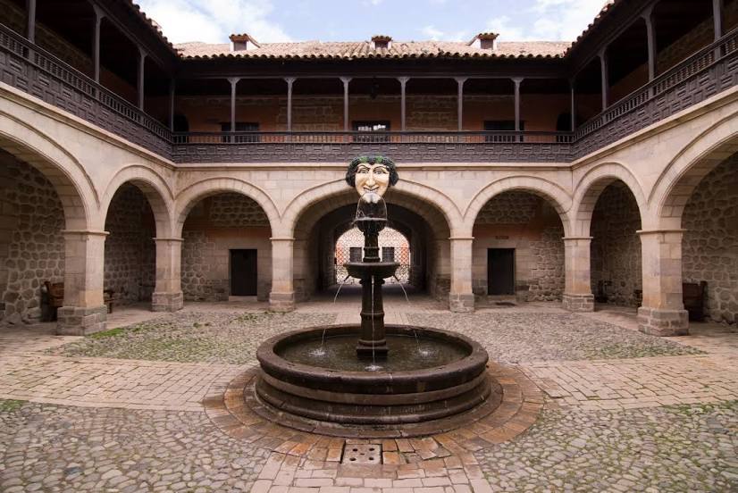
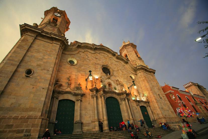
Sucre
Yotala
Alcantari International Airport
Lancha
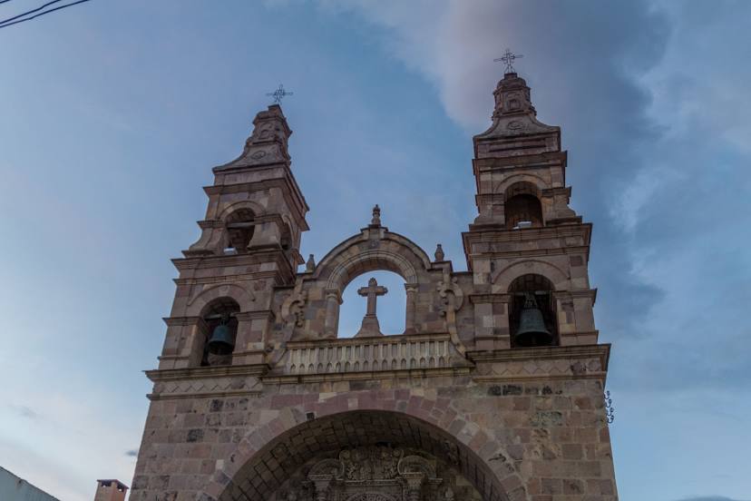
Chaquí
Santa Cruz de la Sierra — Loreto
Santa Cruz de la Sierra — Tiwanaku
Santa Cruz de la Sierra — Tacobamba
Santa Cruz de la Sierra — Sacaba
Santa Cruz de la Sierra — El Trompillo Airport
Santa Cruz de la Sierra — Monteagudo
Santa Cruz de la Sierra — Quimome
Santa Cruz de la Sierra — Uruguay
Santa Cruz de la Sierra — Itenez
Santa Cruz de la Sierra — Cocoma
Santa Cruz de la Sierra — Mizque
Santa Cruz de la Sierra — Saipina
Santa Cruz de la Sierra — San Joaquin
Santa Cruz de la Sierra — Tucupi
Santa Cruz de la Sierra — Reyes
Santa Cruz de la Sierra — Warnes
Santa Cruz de la Sierra — San José de Chiquitos
Santa Cruz de la Sierra — Acasio
Santa Cruz de la Sierra — Camiri
El Trompillo Airport
La Guardia
Samaipata
Mairana
Pampagrande
Mataral
Quiñal
La Palizada
Saipina
Omereque
Rumicorral
Aiquile
Novillero
CHUQUI CHUQUI
Sucre
Yotala
Alcantari International Airport
Lancha
Chaquí
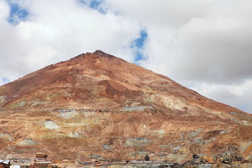
Santa Cruz de la Sierra — Potosi distance, route on the map
Distance by car
Distance between Santa Cruz de la Sierra, Santa Cruz, Bolivia and Potosi, Potosi Department, Bolivia by car is — km, or miles. To travel this distance by car, you need minute, or h.
Route on the map, driving directions
Car route Santa Cruz de la Sierra — Potosi was created automatically. The road on the map is shown as a blue line. By moving the markers, you can create a new route through the points you need.
Passing cities through which the car route passes: Santa Cruz de la Sierra, El Trompillo Airport, La Guardia, Samaipata, Mairana, Pampagrande, Mataral, Quiñal, La Palizada, Saipina, Omereque, Rumicorral, Aiquile, Novillero, CHUQUI CHUQUI, Sucre, Yotala, Alcantari International Airport, Lancha, Chaquí.
Distance by plane
If you decide to take a trip Santa Cruz de la Sierra Potosi by plane, then you have to fly the distance — 347 km or 215 miles. It is marked on the map with a gray line (between two points in a straight line).
Flight time
Estimated flight time Santa Cruz de la Sierra Potosi by plane at cruising speed 750 km / h will be — 27 min.
Direction of movement
Bolivia, Santa Cruz de la Sierra — right-hand traffic. Bolivia, Potosi — right-hand traffic.
Difference in time
Santa Cruz de la Sierra and Potosi are in the same time zone. Between them there is no time difference (UTC -4 America/La_Paz).
Interesting Facts
Information on alternative ways to get to your destination.
The length of this distance is about 0.9% of the total length of the equator.
The percentage of the population is clearly shown in the graph:
Santa Cruz de la Sierra — 1,364,389, Potosi — 141,254 residents (less by 1,223,135).
The cost of travel
Calculate the cost of the trip yourself using the fuel consumption calculator, changing the data in the table.