Connerré — Anost
Connerré — Saint-Michel-de-Lanès
Connerré — Eyragues
Connerré — Le Mesnil-Amelot
Connerré — Saint-Michel-en-l'Herm
Connerré — Sainte-Foy-de-Belvès
Connerré — Nostang
Connerré — Cormatin
Connerré — Monampteuil
Connerré — Saint-Nazaire-en-Royans
Connerré — Doudeville
Connerré — Saint-Aubin-de-Blaye
Connerré — Monestier
Connerré — Nogent-l'Artaud
Connerré — Woippy
Connerré — MESS
Connerré — Tigery
Connerré — Ploumoguer
Connerré — Saint-Sulpice-et-Cameyrac
Fatines
Savigné-l'Évêque
Sargé-lès-le-Mans
Saint-Pavace
Saint-Saturnin
La Chapelle-Saint-Aubin
Trangé
Étival-lès-le-Mans
Louplande
Vallon-sur-Gée
Fercé-sur-Sarthe
Noyen-sur-Sarthe
Avoise
Le Bailleul
Précigné
Durtal
Huillé
Marcé
Seiches-sur-le-Loir
Corzé
Le Plessis-Grammoire
Pellouailles-les-Vignes
Saint-Sylvain-d'Anjou
Saint-Barthélemy-d'Anjou
Connerré — Les Ponts-de-Cé distance, route on the map
Distance by car
Distance between Connerré, Pays de la Loire, France and Les Ponts-de-Cé, Pays de la Loire, France by car is — km, or miles. To travel this distance by car, you need minute, or h.
Route on the map, driving directions
Car route Connerré — Les Ponts-de-Cé was created automatically. The road on the map is shown as a blue line. By moving the markers, you can create a new route through the points you need.
Passing cities through which the car route passes: Montfort-le-Gesnois, Fatines, Savigné-l'Évêque, Sargé-lès-le-Mans, Saint-Pavace, Saint-Saturnin, La Chapelle-Saint-Aubin, Trangé, Étival-lès-le-Mans, Louplande, Vallon-sur-Gée, Fercé-sur-Sarthe, Noyen-sur-Sarthe, Avoise, Le Bailleul, Précigné, Durtal, Huillé, Marcé, Seiches-sur-le-Loir, Corzé, Le Plessis-Grammoire, Pellouailles-les-Vignes, Saint-Sylvain-d'Anjou, Saint-Barthélemy-d'Anjou.
Distance by plane
If you decide to take a trip Connerré Les Ponts-de-Cé by plane, then you have to fly the distance — 104 km or 64 miles. It is marked on the map with a gray line (between two points in a straight line).
Flight time
Estimated flight time Connerré Les Ponts-de-Cé by plane at cruising speed 750 km / h will be — 8 min.
Direction of movement
France, Connerré — right-hand traffic. France, Les Ponts-de-Cé — right-hand traffic.
Difference in time
Connerré and Les Ponts-de-Cé are in the same time zone. Between them there is no time difference (UTC +2 Europe/Paris).
Interesting Facts
Information on alternative ways to get to your destination.
The length of this distance is about 0.3% of the total length of the equator.
The percentage of the population is clearly shown in the graph:
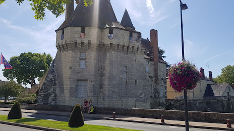
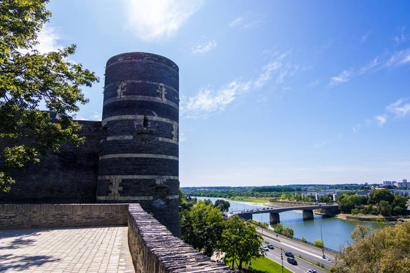
Connerré — 2,719 (less by 9,038), Les Ponts-de-Cé — 11,757 residents.
The cost of travel
Calculate the cost of the trip yourself using the fuel consumption calculator, changing the data in the table.