San Jose — Bivins
San Jose — Hosston
San Jose — Pembroke
San Jose — Mount Laguna
San Jose — Jordanville
San Jose — Holstein
San Jose — Las Vegas
San Jose — Bethel
San Jose — Smithton
San Jose — Dennard
San Jose — Marshlands
San Jose — Chidester
San Jose — Velma
San Jose — Richwoods
San Jose — Abilene
San Jose — Oscar
San Jose — Rio Hondo
San Jose — La Feria
San Jose — Rosenberg
Terminal A
San Jose
San Jose
Coyote
Morgan Hill
Gilroy
Volta
Avenal
Kettleman City
Lost Hills
Buttonwillow
Wheeler Ridge
Lebec
Gorman
Sandberg
Castaic
Valencia
Valencia
Stevenson Ranch
Santa Clarita
San Fernando
Pacoima
Burbank
Glendale
L A Co Mens Detention Center-main Jail
Vernon
East Los Angeles
Bell Gardens
Downey
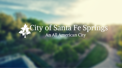
San Jose — Santa Fe Springs distance, route on the map
Distance by car
Distance between San Jose, California, United States and Santa Fe Springs, California, United States by car is — km, or miles. To travel this distance by car, you need minute, or h.
Route on the map, driving directions
Car route San Jose — Santa Fe Springs was created automatically. The road on the map is shown as a blue line. By moving the markers, you can create a new route through the points you need.
Passing cities through which the car route passes: Santa Clara, Terminal A, San Jose, San Jose, Coyote, Morgan Hill, Gilroy, Volta, Avenal, Kettleman City, Lost Hills, Buttonwillow, Wheeler Ridge, Lebec, Gorman, Sandberg, Castaic, Valencia, Valencia, Stevenson Ranch, Santa Clarita, San Fernando, Pacoima, Burbank, Glendale, L A Co Mens Detention Center-main Jail, Vernon, East Los Angeles, Bell Gardens, Downey.
Distance by plane
If you decide to take a trip San Jose Santa Fe Springs by plane, then you have to fly the distance — 522 km or 324 miles. It is marked on the map with a gray line (between two points in a straight line).
Flight time
Estimated flight time San Jose Santa Fe Springs by plane at cruising speed 750 km / h will be — 41 min.
Direction of movement
United States, San Jose — right-hand traffic. United States, Santa Fe Springs — right-hand traffic.
Difference in time
San Jose and Santa Fe Springs are in the same time zone. Between them there is no time difference (UTC -7 America/Los_Angeles).
Interesting Facts
Information on alternative ways to get to your destination.
The length of this distance is about 1.3% of the total length of the equator.
The percentage of the population is clearly shown in the graph:
San Jose — 945,942, Santa Fe Springs — 16,330 residents (less by 929,612).
The cost of travel
Calculate the cost of the trip yourself using the fuel consumption calculator, changing the data in the table.