Bemowo Lotnisko — Pasłęk
Bemowo Lotnisko — Szelment
Bemowo Lotnisko — Nowa Jastrząbka
Bemowo Lotnisko — Przecław
Bemowo Lotnisko — Pultusk
Bemowo Lotnisko — Chełmża
Bemowo Lotnisko — Zdroje
Bemowo Lotnisko — Cigacice
Bemowo Lotnisko — Miastkowo
Bemowo Lotnisko — Sarnaki
Bemowo Lotnisko — Zielonki
Bemowo Lotnisko — Grębocin
Bemowo Lotnisko — Zielęcice
Bemowo Lotnisko — Jakubów
Bemowo Lotnisko — Dygowo
Bemowo Lotnisko — Żywiec
Bemowo Lotnisko — Jastarnia
Bemowo Lotnisko — Kraszewice
Bemowo Lotnisko — Przyszowice
Konotopa
Pruszków
Brwinów
Milanówek
Kozery
Wiskitki
Bolimów
Nieborów
Dzierzgówek
Łyszkowice
Kałęczew
Dmosin
Nowostawy Dolne
Stryków
Buczek
Teolin
Andrespol
Wola Rakowa
Tuszyn
Kruszów
Głuchów
Majków Średni
Piotrków Trybunalski
Wola Krzysztoporska
Kamieńsk
Gomunice
Dobryszyce
Ładzice
Teklinów
Kruszyna
Rudniki
Rędziny
Nowa Rybna
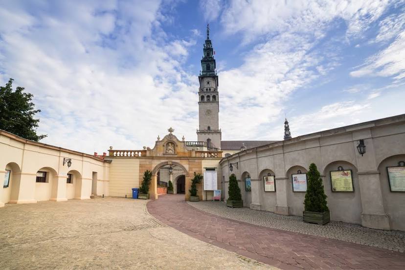
Bemowo Lotnisko — Częstochowa distance, route on the map
Distance by car
Distance between Bemowo Lotnisko, mazowieckie, Poland and Częstochowa, Silesian Voivodeship, Poland by car is — km, or miles. To travel this distance by car, you need minute, or h.
Route on the map, driving directions
Car route Bemowo Lotnisko — Częstochowa was created automatically. The road on the map is shown as a blue line. By moving the markers, you can create a new route through the points you need.
Passing cities through which the car route passes: Bronisze, Konotopa, Pruszków, Brwinów, Milanówek, Kozery, Wiskitki, Bolimów, Nieborów, Dzierzgówek, Łyszkowice, Kałęczew, Dmosin, Nowostawy Dolne, Stryków, Buczek, Teolin, Andrespol, Wola Rakowa, Tuszyn, Kruszów, Głuchów, Majków Średni, Piotrków Trybunalski, Wola Krzysztoporska, Kamieńsk, Gomunice, Dobryszyce, Ładzice, Teklinów, Kruszyna, Rudniki, Rędziny, Nowa Rybna.
Distance by plane
If you decide to take a trip Bemowo Lotnisko Częstochowa by plane, then you have to fly the distance — 204 km or 126 miles. It is marked on the map with a gray line (between two points in a straight line).
Flight time
Estimated flight time Bemowo Lotnisko Częstochowa by plane at cruising speed 750 km / h will be — 16 min.
Direction of movement
Poland, Bemowo Lotnisko — right-hand traffic. Poland, Częstochowa — right-hand traffic.
Difference in time
Bemowo Lotnisko and Częstochowa are in the same time zone. Between them there is no time difference (UTC +2 Europe/Warsaw).
Interesting Facts
Information on alternative ways to get to your destination.
The length of this distance is about 0.5% of the total length of the equator.
The cost of travel
Calculate the cost of the trip yourself using the fuel consumption calculator, changing the data in the table.