Midland International Air & Space Port — Nassawadox
Midland International Air & Space Port — Scott City
Midland International Air & Space Port — Roba
Midland International Air & Space Port — General Mitchell International Airport
Midland International Air & Space Port — Axson
Midland International Air & Space Port — Denver
Midland International Air & Space Port — Crossett
Midland International Air & Space Port — Mullen
Midland International Air & Space Port — Good view
Midland International Air & Space Port — Mackinaw
Midland International Air & Space Port — Talbotton
Midland International Air & Space Port — Archbold
Midland International Air & Space Port — Redmond
Midland International Air & Space Port — Olmito
Midland International Air & Space Port — Marble Canyon
Midland International Air & Space Port — Guntersville
Midland International Air & Space Port — New Market
Midland International Air & Space Port — Cassandra
Midland International Air & Space Port — Jaffrey
Ector County
Penwell
Monahans
Wickett
Pyote
Pecos
Van Horn
Allamoore
Sierra Blanca
Fort Hancock
Fabens
Clint
Zaragoza
Midland International Air & Space Port — Nassawadox
Midland International Air & Space Port — Scott City
Midland International Air & Space Port — Roba
Midland International Air & Space Port — General Mitchell International Airport
Midland International Air & Space Port — Axson
Midland International Air & Space Port — Denver
Midland International Air & Space Port — Crossett
Midland International Air & Space Port — Mullen
Midland International Air & Space Port — Good view
Midland International Air & Space Port — Mackinaw
Midland International Air & Space Port — Talbotton
Midland International Air & Space Port — Archbold
Midland International Air & Space Port — Redmond
Midland International Air & Space Port — Olmito
Midland International Air & Space Port — Marble Canyon
Midland International Air & Space Port — Guntersville
Midland International Air & Space Port — New Market
Midland International Air & Space Port — Cassandra
Midland International Air & Space Port — Jaffrey
Ector County
Penwell
Monahans
Wickett
Pyote
Pecos
Van Horn
Allamoore
Sierra Blanca
Fort Hancock
Fabens
Clint
Zaragoza  El Paso
 International Airport
El Paso
El Paso
El Paso
Santa Teresa
Canutillo
Berino
Vado
Mesilla
Deming
Moon
Lordsburg
Raso
Willcox
Cochise
Dragoon
Benson
Tucson International Airport
Tucson
Marana
Picacho
Eloy
Arizona City
Casa Grande
Sacaton
Casa Blanca
Tempe
Phoenix Sky Harbor International Airport
Phoenix
Phoenix
Tolleson
Avondale
Goodyear
Buckeye
Quartzsite
Ehrenberg
Blythe
Cactus City
Thermal
Indio
El Paso
El Paso International Airport
El Paso
El Paso
El Paso
Santa Teresa
Canutillo
Berino
Vado
Mesilla
Deming
Moon
Lordsburg
Raso
Willcox
Cochise
Dragoon
Benson
Tucson International Airport
Tucson
Marana
Picacho
Eloy
Arizona City
Casa Grande
Sacaton
Casa Blanca
Tempe
Phoenix Sky Harbor International Airport
Phoenix
Phoenix
Tolleson
Avondale
Goodyear
Buckeye
Quartzsite
Ehrenberg
Blythe
Cactus City
Thermal
Indio
See how the reverse distance goes.
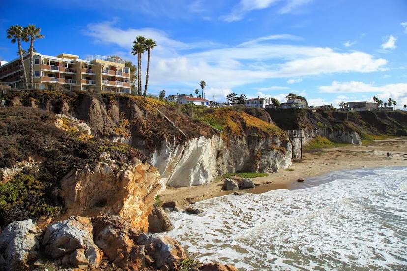
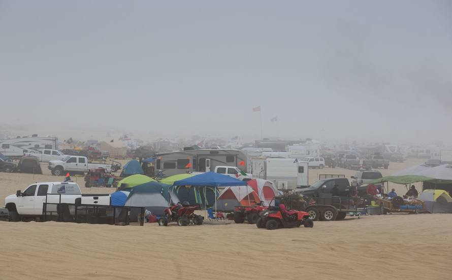
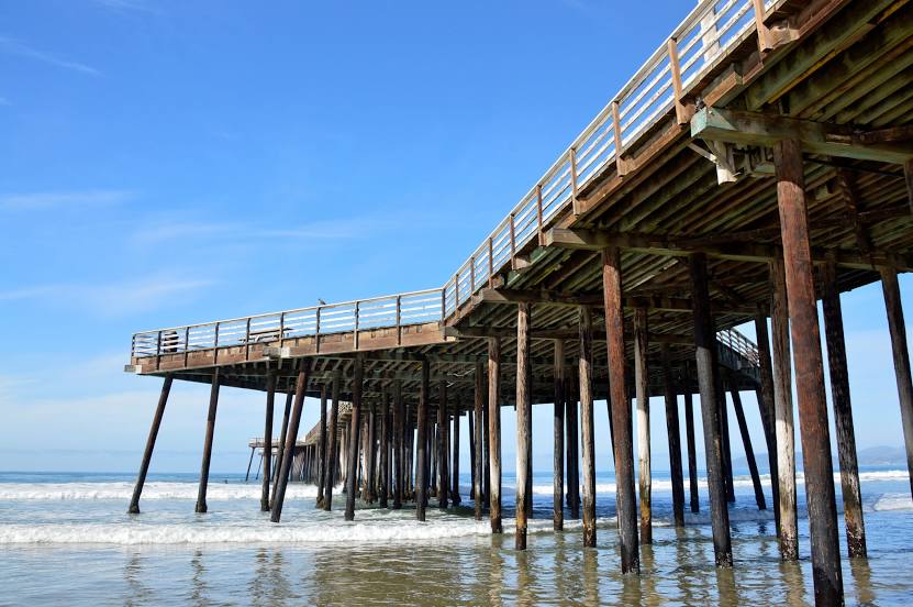
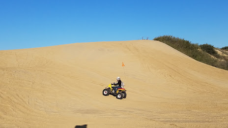
Grover Beach — Midland International Air & Space PortMidland International Air & Space Port — Grover Beach distance, route on the map
Distance by car
Distance between Midland International Air & Space Port, Texas, United States and Grover Beach, California, United States by car is — km, or miles. To travel this distance by car, you need minute, or h.
Route on the map, driving directions
Car route Midland International Air & Space Port — Grover Beach was created automatically. The road on the map is shown as a blue line. By moving the markers, you can create a new route through the points you need.
Passing cities through which the car route passes: Odessa, Ector County, Penwell, Monahans, Wickett, Pyote, Pecos, Van Horn, Allamoore, Sierra Blanca, Fort Hancock, Fabens, Clint, Zaragoza (mx), El Paso, El Paso International Airport, El Paso, El Paso, El Paso, Santa Teresa, Canutillo, Berino, Vado, Mesilla, Deming, Moon, Lordsburg, Raso, Willcox, Cochise, Dragoon, Benson, Tucson International Airport, Tucson, Marana, Picacho, Eloy, Arizona City, Casa Grande, Sacaton, Casa Blanca, Tempe, Phoenix Sky Harbor International Airport, Phoenix, Phoenix, Tolleson, Avondale, Goodyear, Buckeye, Quartzsite, Ehrenberg, Blythe, Cactus City, Thermal, Indio.
Distance by plane
If you decide to take a trip Midland International Air & Space Port Grover Beach by plane, then you have to fly the distance — 1741 km or 1079 miles. It is marked on the map with a gray line (between two points in a straight line).
Flight time
Estimated flight time Midland International Air & Space Port Grover Beach by plane at cruising speed 750 km / h will be — 2 h. and 19 min.
Direction of movement
United States, Midland International Air & Space Port — right-hand traffic. United States, Grover Beach — right-hand traffic.
Difference in time
Midland International Air & Space Port and Grover Beach are in different time zones. The time difference is 2 hours (UTC -5 America/Chicago, UTC -7 America/Los_Angeles).
Interesting Facts
Information on alternative ways to get to your destination.
The length of this distance is about 4.3% of the total length of the equator.
The cost of travel
Calculate the cost of the trip yourself using the fuel consumption calculator, changing the data in the table.