São Carlos — Descoberto
São Carlos — Boa Vista do Buricá
São Carlos — Sagres
São Carlos — Capela do Alto
São Carlos — Salvador-Deputado Luís Eduardo Magalhães International Airport
São Carlos — Itapema
São Carlos — Passo de Camaragibe
São Carlos — Rosana
São Carlos — São João de Meriti
São Carlos — São Caetano
São Carlos — Conceição
São Carlos — Itaqui
São Carlos — Pereira Barreto
São Carlos — Campos Borges
São Carlos — Meruoca
São Carlos — Sao Paulo International Airport
São Carlos — Figueira
São Carlos — Florianópolis
São Carlos — Una
Matão
Dobrada
Santa Ernestina
Taiúva
Taquaral
Bebedouro
Colina
Barretos
Planura
Prata
Centralina
Araporã
Itumbiara
Morrinhos
Hidrolândia
Goiânia
Goiânia Airport
Nerópolis
Rialma
Uruaçu
Porangatu
Cariri do Tocantins
Gurupi
Paraíso do Tocantins
Miranorte
Colinas do Tocantins
Nova Olinda
Araguaína
Porto Franco
Imperatriz
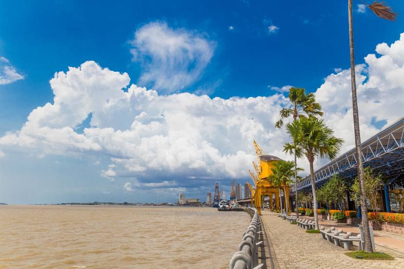
Acará
Ananindeua
São Carlos — Descoberto
São Carlos — Boa Vista do Buricá
São Carlos — Sagres
São Carlos — Capela do Alto
São Carlos — Salvador-Deputado Luís Eduardo Magalhães International Airport
São Carlos — Itapema
São Carlos — Passo de Camaragibe
São Carlos — Rosana
São Carlos — São João de Meriti
São Carlos — São Caetano
São Carlos — Conceição
São Carlos — Itaqui
São Carlos — Pereira Barreto
São Carlos — Campos Borges
São Carlos — Meruoca
São Carlos — Sao Paulo International Airport
São Carlos — Figueira
São Carlos — Florianópolis
São Carlos — Una
Matão
Dobrada
Santa Ernestina
Taiúva
Taquaral
Bebedouro
Colina
Barretos
Planura
Prata
Centralina
Araporã
Itumbiara
Morrinhos
Hidrolândia
Goiânia
Goiânia Airport
Nerópolis
Rialma
Uruaçu
Porangatu
Cariri do Tocantins
Gurupi
Paraíso do Tocantins
Miranorte
Colinas do Tocantins
Nova Olinda
Araguaína
Porto Franco
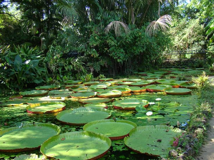
Imperatriz
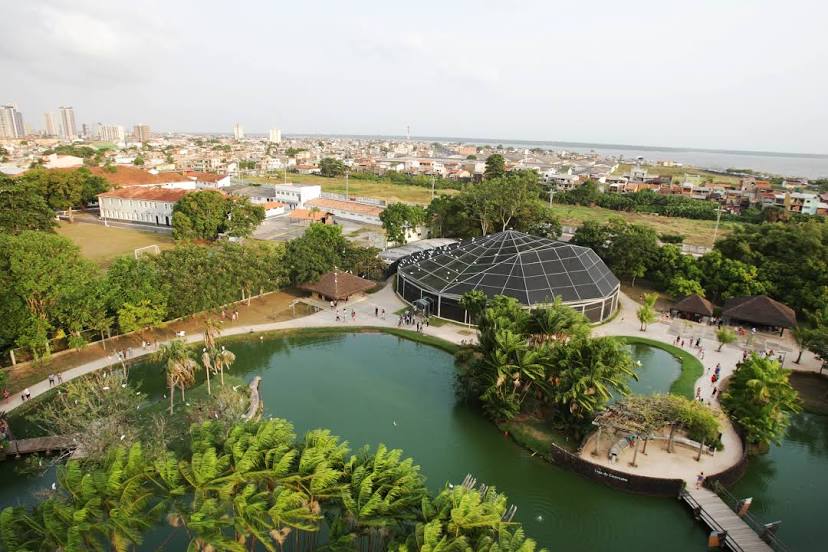
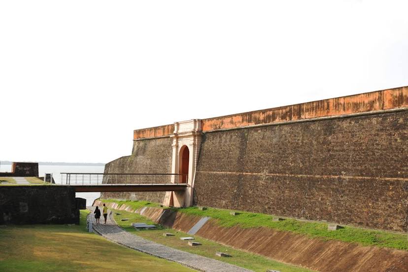
Acará
Ananindeua
São Carlos — Belém distance, route on the map
Distance by car
Distance between São Carlos, São Paulo, Brazil and Belém, Pará, Brazil by car is — km, or miles. To travel this distance by car, you need minute, or h.
Route on the map, driving directions
Car route São Carlos — Belém was created automatically. The road on the map is shown as a blue line. By moving the markers, you can create a new route through the points you need.
Passing cities through which the car route passes: Ibaté, Matão, Dobrada, Santa Ernestina, Taiúva, Taquaral, Bebedouro, Colina, Barretos, Planura, Prata, Centralina, Araporã, Itumbiara, Morrinhos, Hidrolândia, Goiânia, Goiânia Airport, Nerópolis, Rialma, Uruaçu, Porangatu, Cariri do Tocantins, Gurupi, Paraíso do Tocantins, Miranorte, Colinas do Tocantins, Nova Olinda, Araguaína, Porto Franco, Imperatriz, Acará, Ananindeua.
Distance by plane
If you decide to take a trip São Carlos Belém by plane, then you have to fly the distance — 2287 km or 1418 miles. It is marked on the map with a gray line (between two points in a straight line).
Flight time
Estimated flight time São Carlos Belém by plane at cruising speed 750 km / h will be — 3 h. and 2 min.
Direction of movement
Brazil, São Carlos — right-hand traffic. Brazil, Belém — right-hand traffic.
Difference in time
São Carlos and Belém are in the same time zone. Between them there is no time difference (UTC -3 America/Sao_Paulo).
Interesting Facts
Information on alternative ways to get to your destination.
The length of this distance is about 5.7% of the total length of the equator.
The percentage of the population is clearly shown in the graph:
São Carlos — 205,039 (less by 1,202,698), Belém — 1,407,737 residents.
The cost of travel
Calculate the cost of the trip yourself using the fuel consumption calculator, changing the data in the table.