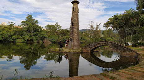
Lages — Salto Grande
Lages — Condor
Lages — Conceicao de Jacareí
Lages — Pedras Grandes
Lages — Alto Paraná
Lages — Rio Azul
Lages — Presidente Figueiredo
Lages — Manoel Viana
Lages — Santa Clara do Sul
Lages — Ribeira do Pombal
Lages — Amapá
Lages — Rio Bananal
Lages — Ibirataia
Lages — Paranaguá
Lages — Barbosa Ferraz
Lages — Coaraci
Lages — São Francisco do Sul
Lages — Guarujá
Lages — Floriano
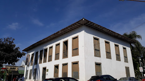
Santa Cecília
Residência Fuck
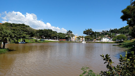
Monte Castelo
Papanduva
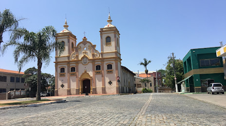
Mafra
Rio Negro
Campo do Tenente
Quitandinha
Mandirituba
Fazenda Rio Grande
São José dos Pinhais
Piraquara
Quatro Barras
Campina Grande do Sul
Cajati
Registro
Miracatu
Juquitiba
São Lourenço da Serra
Embu das Artes
Taboão da Serra
Pestana
Carapicuiba
Rochdale
Cajamar
Francisco Morato
Várzea Paulista
Jarinu
Lages — Salto Grande
Lages — Condor
Lages — Conceicao de Jacareí
Lages — Pedras Grandes
Lages — Alto Paraná
Lages — Rio Azul
Lages — Presidente Figueiredo
Lages — Manoel Viana
Lages — Santa Clara do Sul
Lages — Ribeira do Pombal
Lages — Amapá
Lages — Rio Bananal
Lages — Ibirataia
Lages — Paranaguá
Lages — Barbosa Ferraz
Lages — Coaraci
Lages — São Francisco do Sul
Lages — Guarujá
Lages — Floriano
Santa Cecília
Residência Fuck
Monte Castelo
Papanduva
Mafra
Rio Negro
Campo do Tenente
Quitandinha
Mandirituba
Fazenda Rio Grande
São José dos Pinhais
Piraquara
Quatro Barras
Campina Grande do Sul
Cajati
Registro
Miracatu
Juquitiba
São Lourenço da Serra
Embu das Artes
Taboão da Serra
Pestana
Carapicuiba
Rochdale
Cajamar
Francisco Morato
Várzea Paulista
Jarinu
Lages — Atibaia distance, route on the map
Distance by car
Distance between Lages, Santa Catarina, Brazil and Atibaia, São Paulo, Brazil by car is — km, or miles. To travel this distance by car, you need minute, or h.
Route on the map, driving directions
Car route Lages — Atibaia was created automatically. The road on the map is shown as a blue line. By moving the markers, you can create a new route through the points you need.
Passing cities through which the car route passes: Correia Pinto, Santa Cecília, Residência Fuck, Monte Castelo, Papanduva, Mafra, Rio Negro, Campo do Tenente, Quitandinha, Mandirituba, Fazenda Rio Grande, São José dos Pinhais, Piraquara, Quatro Barras, Campina Grande do Sul, Cajati, Registro, Miracatu, Juquitiba, São Lourenço da Serra, Embu das Artes, Taboão da Serra, Pestana, Carapicuiba, Rochdale, Cajamar, Francisco Morato, Várzea Paulista, Jarinu.
Distance by plane
If you decide to take a trip Lages Atibaia by plane, then you have to fly the distance — 645 km or 400 miles. It is marked on the map with a gray line (between two points in a straight line).
Flight time
Estimated flight time Lages Atibaia by plane at cruising speed 750 km / h will be — 51 min.
Direction of movement
Brazil, Lages — right-hand traffic. Brazil, Atibaia — right-hand traffic.
Difference in time
Lages and Atibaia are in the same time zone. Between them there is no time difference (UTC -3 America/Sao_Paulo).
Interesting Facts
Information on alternative ways to get to your destination.
The length of this distance is about 1.6% of the total length of the equator.
The percentage of the population is clearly shown in the graph:
Lages — 164,679, Atibaia — 110,970 residents (less by 53,709).
The cost of travel
Calculate the cost of the trip yourself using the fuel consumption calculator, changing the data in the table.