Luziânia — Eldorado
Luziânia — Cambará
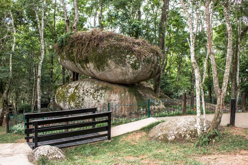
Luziânia — Hat Hill
Luziânia — Fernando de Noronha
Luziânia — Miguel Pereira
Luziânia — São Benedito do Sul
Luziânia — Pilar do Sul
Luziânia — Riacho das Almas
Luziânia — Ilhota
Luziânia — Divino
Luziânia — Brejinho
Luziânia — São Luís
Luziânia — Ceres
Luziânia — Canasvieiras
Luziânia — Itapuranga
Luziânia — Bonfim
Luziânia — Corbélia
Luziânia — Pompéia
Luziânia — São Mamede
Catalão
Araguari
Uberlândia
Uru
Uberaba
Igarapava
Aramina
Ituverava
Guará
São Joaquim da Barra
São Joaquim da Barra
Orlândia
Sales Oliveira
Jardinópolis
Ribeirão Preto
Ribeirão Preto
Cravinhos
Luís Antônio
Porto Ferreira
Pirassununga
Santa Cruz da Conceição
Leme
Araras
Cordeirópolis
Limeira
Americana
Jardim Thelja
Nova Odessa
Sumaré
Hortolândia
Campinas
Sousas
Itatiba
Jarinu
Atibaia
Bom Jesus dos Perdões
Nazaré Paulista
Igaratá
Jacareí
Luziânia — Eldorado
Luziânia — Cambará
Luziânia — Hat Hill
Luziânia — Fernando de Noronha
Luziânia — Miguel Pereira
Luziânia — São Benedito do Sul
Luziânia — Pilar do Sul
Luziânia — Riacho das Almas
Luziânia — Ilhota
Luziânia — Divino
Luziânia — Brejinho
Luziânia — São Luís
Luziânia — Ceres
Luziânia — Canasvieiras
Luziânia — Itapuranga
Luziânia — Bonfim
Luziânia — Corbélia
Luziânia — Pompéia
Luziânia — São Mamede
Catalão
Araguari
Uberlândia
Uru
Uberaba
Igarapava
Aramina
Ituverava
Guará
São Joaquim da Barra
São Joaquim da Barra
Orlândia
Sales Oliveira
Jardinópolis
Ribeirão Preto
Ribeirão Preto
Cravinhos
Luís Antônio
Porto Ferreira
Pirassununga
Santa Cruz da Conceição
Leme
Araras
Cordeirópolis
Limeira
Americana
Jardim Thelja
Nova Odessa
Sumaré
Hortolândia
Campinas
Sousas
Itatiba
Jarinu
Atibaia
Bom Jesus dos Perdões
Nazaré Paulista
Igaratá
Jacareí
Luziânia — Guararema distance, route on the map
Distance by car
Distance between Luziânia, Goiás, Brazil and Guararema, São Paulo, Brazil by car is — km, or miles. To travel this distance by car, you need minute, or h.
Route on the map, driving directions
Car route Luziânia — Guararema was created automatically. The road on the map is shown as a blue line. By moving the markers, you can create a new route through the points you need.
Passing cities through which the car route passes: Cristalina, Catalão, Araguari, Uberlândia, Uru, Uberaba, Igarapava, Aramina, Ituverava, Guará, São Joaquim da Barra, São Joaquim da Barra, Orlândia, Sales Oliveira, Jardinópolis, Ribeirão Preto, Ribeirão Preto, Cravinhos, Luís Antônio, Porto Ferreira, Pirassununga, Santa Cruz da Conceição, Leme, Araras, Cordeirópolis, Limeira, Americana, Jardim Thelja, Nova Odessa, Sumaré, Hortolândia, Campinas, Sousas, Itatiba, Jarinu, Atibaia, Bom Jesus dos Perdões, Nazaré Paulista, Igaratá, Jacareí.
Distance by plane
If you decide to take a trip Luziânia Guararema by plane, then you have to fly the distance — 820 km or 508 miles. It is marked on the map with a gray line (between two points in a straight line).
Flight time
Estimated flight time Luziânia Guararema by plane at cruising speed 750 km / h will be — 1 h. and 5 min.
Direction of movement
Brazil, Luziânia — right-hand traffic. Brazil, Guararema — right-hand traffic.
Difference in time
Luziânia and Guararema are in the same time zone. Between them there is no time difference (UTC -3 America/Sao_Paulo).
Interesting Facts
Information on alternative ways to get to your destination.
The length of this distance is about 2.0% of the total length of the equator.
The percentage of the population is clearly shown in the graph:
Luziânia — 143,601, Guararema — 23,572 residents (less by 120,029).
The cost of travel
Calculate the cost of the trip yourself using the fuel consumption calculator, changing the data in the table.