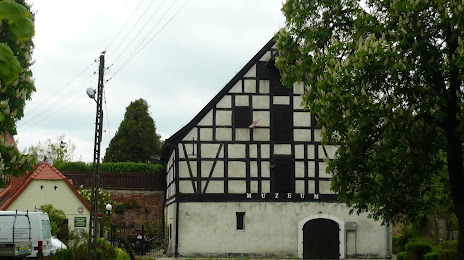
Rydzyna — Babino
Rydzyna — Małaszewicze
Rydzyna — Nowy Targ
Rydzyna — Miały
Rydzyna — Pozezdrze
Rydzyna — Sławków
Rydzyna — Mirosławiec
Rydzyna — Choczewo
Rydzyna — Pęzino
Rydzyna — Łańsk
Rydzyna — Istebna
Rydzyna — Września
Rydzyna — Krzeszow
Rydzyna — Sośno
Rydzyna — Stepnica
Rydzyna — Piotrków Trybunalski
Rydzyna — Sędziszów
Rydzyna — Morze
Rydzyna — Zagruszany
Swieciechowa
Smigiel
Koscian
Czempin
Stęszew
Gołuski
Dopiewo
Tomice
Buk
Duszniki
Kuślin
Glinno
Miedzichowo
Jabłonka Stara
Mnichy
Międzychód
Radgoszcz
Rydzyna — Drezdenko distance, route on the map
Distance by car
Distance between Rydzyna, Greater Poland Voivodeship, Poland and Drezdenko, Lubusz Voivodeship, Poland by car is — km, or miles. To travel this distance by car, you need minute, or h.
Route on the map, driving directions
Car route Rydzyna — Drezdenko was created automatically. The road on the map is shown as a blue line. By moving the markers, you can create a new route through the points you need.
Passing cities through which the car route passes: Leszno, Swieciechowa, Smigiel, Koscian, Czempin, Stęszew, Gołuski, Dopiewo, Tomice, Buk, Duszniki, Kuślin, Glinno, Miedzichowo, Jabłonka Stara, Mnichy, Międzychód, Radgoszcz.
Distance by plane
If you decide to take a trip Rydzyna Drezdenko by plane, then you have to fly the distance — 130 km or 81 miles. It is marked on the map with a gray line (between two points in a straight line).
Flight time
Estimated flight time Rydzyna Drezdenko by plane at cruising speed 750 km / h will be — 10 min.
Direction of movement
Poland, Rydzyna — right-hand traffic. Poland, Drezdenko — right-hand traffic.
Difference in time
Rydzyna and Drezdenko are in the same time zone. Between them there is no time difference (UTC +2 Europe/Warsaw).
Interesting Facts
Information on alternative ways to get to your destination.
The length of this distance is about 0.3% of the total length of the equator.
The percentage of the population is clearly shown in the graph:
Rydzyna — 2,696 (less by 7,845), Drezdenko — 10,541 residents.
The cost of travel
Calculate the cost of the trip yourself using the fuel consumption calculator, changing the data in the table.