Registro — Rio Grande
Registro — Varjota
Registro — Tupi Paulista
Registro — Embu das Artes
Registro — Piúma
Registro — Marumbi
Registro — Rio do Sul
Registro — Seropédica
Registro — Luziânia
Registro — Santa Maria de Itabira
Registro — P0rto Felicidade
Registro — Joaquim Gomes
Registro — Botelhos
Registro — Campo Maior
Registro — Linhares
Registro — Florianópolis
Registro — Tamandaré
Registro — Colatina
Registro — Moema
Juquitiba
São Lourenço da Serra
Embu das Artes
Taboão da Serra
Pestana
Carapicuiba
Rochdale
Cajamar
Francisco Morato
Várzea Paulista
Jarinu
Atibaia
Extrema
Camanducaia
Cambuí
Pouso Alegre
São Sebastião da Bela Vista
Campanha
Três Corações
Carmo da Cachoeira
Carmo da Cachoeira
Santo Antônio do Amparo
Oliveira
Oliveira
Itatiaiuçu
Igarapé
São Joaquim de Bicas
Betim
Contagem
Barreiro
Calafate
Prado
Belo Horizonte
Jaraguá
Belo Horizonte/Pampulha–Carlos Drummond de Andrade Airport
Santa Luzia
Vespasiano
Registro — Lagoa Santa distance, route on the map
Distance by car
Distance between Registro, São Paulo, Brazil and Lagoa Santa, Minas Gerais, Brazil by car is — km, or miles. To travel this distance by car, you need minute, or h.
Route on the map, driving directions
Car route Registro — Lagoa Santa was created automatically. The road on the map is shown as a blue line. By moving the markers, you can create a new route through the points you need.
Passing cities through which the car route passes: Miracatu, Juquitiba, São Lourenço da Serra, Embu das Artes, Taboão da Serra, Pestana, Carapicuiba, Rochdale, Cajamar, Francisco Morato, Várzea Paulista, Jarinu, Atibaia, Extrema, Camanducaia, Cambuí, Pouso Alegre, São Sebastião da Bela Vista, Campanha, Três Corações, Carmo da Cachoeira, Carmo da Cachoeira, Santo Antônio do Amparo, Oliveira, Oliveira, Itatiaiuçu, Igarapé, São Joaquim de Bicas, Betim, Contagem, Barreiro, Calafate, Prado, Belo Horizonte, Jaraguá, Belo Horizonte/Pampulha–Carlos Drummond de Andrade Airport, Santa Luzia, Vespasiano.
Distance by plane
If you decide to take a trip Registro Lagoa Santa by plane, then you have to fly the distance — 677 km or 420 miles. It is marked on the map with a gray line (between two points in a straight line).
Flight time
Estimated flight time Registro Lagoa Santa by plane at cruising speed 750 km / h will be — 54 min.
Direction of movement
Brazil, Registro — right-hand traffic. Brazil, Lagoa Santa — right-hand traffic.
Difference in time
Registro and Lagoa Santa are in the same time zone. Between them there is no time difference (UTC -3 America/Sao_Paulo).
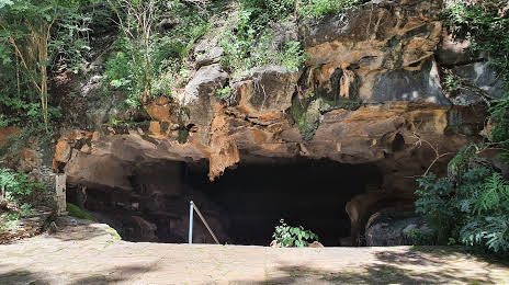
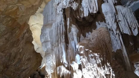
Interesting Facts
Information on alternative ways to get to your destination.
The length of this distance is about 1.7% of the total length of the equator.
The percentage of the population is clearly shown in the graph:
Registro — 45,698, Lagoa Santa — 38,487 residents (less by 7,211).
The cost of travel
Calculate the cost of the trip yourself using the fuel consumption calculator, changing the data in the table.