San Pedro Abajo — Bustamante
San Pedro Abajo — Miramar
San Pedro Abajo — Chinameca
San Pedro Abajo — Arroyo Seco
San Pedro Abajo — Huaniqueo
San Pedro Abajo — Nuevo Vallarta
San Pedro Abajo — Tihuatlán
San Pedro Abajo — Nuevo Casas Grandes Municipality
San Pedro Abajo — The Collective
San Pedro Abajo — Villa Ahumada
San Pedro Abajo — Tanlajás
San Pedro Abajo — Colonia 6 de Mayo
San Pedro Abajo — Zaragoza
San Pedro Abajo — Roof
San Pedro Abajo — Pozo de Ibarra
San Pedro Abajo — Motozintla
San Pedro Abajo — Salvador Alvarado Municipality
San Pedro Abajo — Sabinas Hidalgo
San Pedro Abajo — Doctor Coss
Mexico state
Ixtlahuaca de Rayón
Emiliano Zapata
Atlacomulco de Fabela
Contepec
Maravatío
Maravatío
Valle de Juarez
Ucareo
Tico
Zinapécuaro
Zinapecuaro de Figueroa
General Francisco Mujica International Airport
Lake Cuitzeo
Arúmbaro
Copándaro
Santa Rita
The crosses
Chucándiro
Huaniqueo
Jiménez
Panindícuaro
Penjamillo de Degollado
Churintzio
Ecuandureo
Ixtlán de los Hervores
Tanhuato de Guerrero
Vista Hermosa
The boat
Ocotlán
Zapotlanejo
La Laja
Puente Grande
Tonalá
Tlaquepaque
Tlaquepaque
Railway
Guadalajara
Guadalajara
Vallarta
Zapopan
Zapopan
Zapopan
La Venta del Astillero
La Venta del Astillero
El Arenal
Tequila
Magdalena Municipality
Ixtlán del Río
Ixtlán del Río
Jala
Colonia el Ahualamo
San Pedro Abajo — Mazatlán distance, route on the map
Distance by car
Distance between San Pedro Abajo, Estado de México, Mexico and Mazatlán, Sinaloa, Mexico by car is — km, or miles. To travel this distance by car, you need minute, or h.
Route on the map, driving directions
Car route San Pedro Abajo — Mazatlán was created automatically. The road on the map is shown as a blue line. By moving the markers, you can create a new route through the points you need.
Passing cities through which the car route passes: Temoaya, Mexico state, Ixtlahuaca de Rayón, Emiliano Zapata, Atlacomulco de Fabela, Contepec, Maravatío, Maravatío, Valle de Juarez, Ucareo, Tico, Zinapécuaro, Zinapecuaro de Figueroa, General Francisco Mujica International Airport, Lake Cuitzeo, Arúmbaro, Copándaro, Santa Rita, The crosses, Chucándiro, Huaniqueo, Jiménez, Panindícuaro, Penjamillo de Degollado, Churintzio, Ecuandureo, Ixtlán de los Hervores, Tanhuato de Guerrero, Vista Hermosa, The boat, Ocotlán, Zapotlanejo, La Laja, Puente Grande, Tonalá, Tlaquepaque, Tlaquepaque, Railway, Guadalajara, Guadalajara, Vallarta, Zapopan, Zapopan, Zapopan, La Venta del Astillero, La Venta del Astillero, El Arenal, Tequila, Magdalena Municipality, Ixtlán del Río, Ixtlán del Río, Jala, Colonia el Ahualamo.
Distance by plane
If you decide to take a trip San Pedro Abajo Mazatlán by plane, then you have to fly the distance — 822 km or 510 miles. It is marked on the map with a gray line (between two points in a straight line).
Flight time
Estimated flight time San Pedro Abajo Mazatlán by plane at cruising speed 750 km / h will be — 1 h. and 5 min.
Direction of movement
Mexico, San Pedro Abajo — right-hand traffic. Mexico, Mazatlán — right-hand traffic.
Difference in time
San Pedro Abajo and Mazatlán are in different time zones. The time difference is 1 hour (UTC -6 America/Mexico_City, UTC -7 America/Mazatlan).
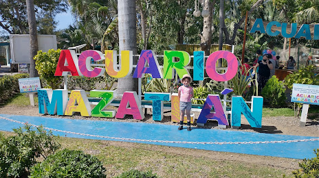
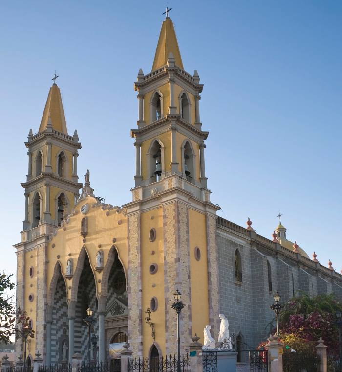
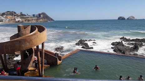
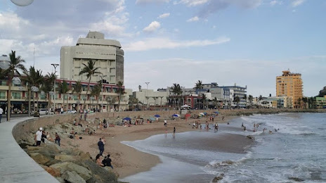
Interesting Facts
Information on alternative ways to get to your destination.
The length of this distance is about 2.1% of the total length of the equator.
The percentage of the population is clearly shown in the graph:
San Pedro Abajo — 5,581 (less by 349,149), Mazatlán — 354,730 residents.
The cost of travel
Calculate the cost of the trip yourself using the fuel consumption calculator, changing the data in the table.