Bialystok — Żegary
Bialystok — Wydrna
Bialystok — Dzialdowo
Bialystok — Bidachi
Bialystok — Kowalowy
Bialystok — Kudelczyn
Bialystok — Ksawerów
Bialystok — Reda
Bialystok — Nowy Dwór Gdański
Bialystok — Rejowiec
Bialystok — Zubrzyca Górna
Bialystok — Sławsk
Bialystok — Dachowa
Bialystok — Kurozwęki
Bialystok — Bliżyn
Bialystok — Łętowo
Bialystok — Kampinos
Bialystok — Glisno
Bialystok — Swarożyn
Klepacze
Krupniki
Choroszcz
Babino
Kruszewo
Kobylin-Borzymy
Wizna
Piątnica
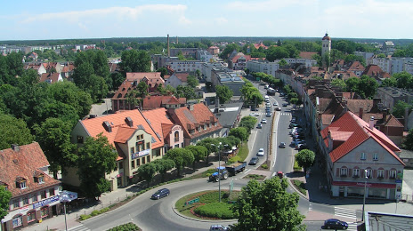
Lomza
Nowogród
Baliki
Łyse
Wykrot
Myszyniec
Rozogi
Świętajno
Lemany
Bialystok — Żegary
Bialystok — Wydrna
Bialystok — Dzialdowo
Bialystok — Bidachi
Bialystok — Kowalowy
Bialystok — Kudelczyn
Bialystok — Ksawerów
Bialystok — Reda
Bialystok — Nowy Dwór Gdański
Bialystok — Rejowiec
Bialystok — Zubrzyca Górna
Bialystok — Sławsk
Bialystok — Dachowa
Bialystok — Kurozwęki
Bialystok — Bliżyn
Bialystok — Łętowo
Bialystok — Kampinos
Bialystok — Glisno
Bialystok — Swarożyn
Klepacze
Krupniki
Choroszcz
Babino
Kruszewo
Kobylin-Borzymy
Wizna
Piątnica
Lomza
Nowogród
Baliki
Łyse
Wykrot
Myszyniec
Rozogi
Świętajno
Lemany
Bialystok — Szczytno distance, route on the map
Distance by car
Distance between Bialystok, Podlaskie Voivodeship, Poland and Szczytno, Warmian-Masurian Voivodeship, Poland by car is — km, or miles. To travel this distance by car, you need minute, or h.
Route on the map, driving directions
Car route Bialystok — Szczytno was created automatically. The road on the map is shown as a blue line. By moving the markers, you can create a new route through the points you need.
Passing cities through which the car route passes: Bialystok, Klepacze, Krupniki, Choroszcz, Babino, Kruszewo, Kobylin-Borzymy, Wizna, Piątnica, Lomza, Nowogród, Baliki, Łyse, Wykrot, Myszyniec, Rozogi, Świętajno, Lemany.
Distance by plane
If you decide to take a trip Bialystok Szczytno by plane, then you have to fly the distance — 152 km or 94 miles. It is marked on the map with a gray line (between two points in a straight line).
Flight time
Estimated flight time Bialystok Szczytno by plane at cruising speed 750 km / h will be — 12 min.
Direction of movement
Poland, Bialystok — right-hand traffic. Poland, Szczytno — right-hand traffic.
Difference in time
Bialystok and Szczytno are in the same time zone. Between them there is no time difference (UTC +2 Europe/Warsaw).
Interesting Facts
Information on alternative ways to get to your destination.
The length of this distance is about 0.4% of the total length of the equator.
The percentage of the population is clearly shown in the graph:
Bialystok — 291,855, Szczytno — 26,044 residents (less by 265,811).
The cost of travel
Calculate the cost of the trip yourself using the fuel consumption calculator, changing the data in the table.