
 Barranca
Lebrija
Copacabana
Calamar
Tierralta
San Antero
La Linda
San José Del Guaviare
Raquira
La Tebaida
Puerto Santander
Arbeláez
Paipa
Remedios
Pensilvania
Marinilla
Cucaita
Simijaca
Acevedo
Barranca
Lebrija
Copacabana
Calamar
Tierralta
San Antero
La Linda
San José Del Guaviare
Raquira
La Tebaida
Puerto Santander
Arbeláez
Paipa
Remedios
Pensilvania
Marinilla
Cucaita
Simijaca
Acevedo
Leticia on the map, Colombia
Where is located Leticia
Exact location — Leticia, Leticia, Amazonas, Colombia, marked on the map with a red marker.
Coordinates
Leticia, Colombia coordinates in decimal format: latitude — -4.21291, longitude — -69.93963. When converted to degrees, minutes, seconds Leticia has the following coordinates: -4°12′46.48 north latitude and -69°56′22.67 east longitude.
Population
Leticia, Leticia, Amazonas, Colombia, according to our data the population is — 29,666 residents, which is about 0.1% of the total population of the country (Colombia).
Comparison of the population on the graph:
Exact time
Time zone for this location Leticia — UTC -4 America/Boa_Vista. Exact time — sunday, 4 april 2024 year, 23 h. 12 minutes.
Sunrise and sunset
Leticia, sunrise and sunset data for a date — sunday 28.04.2024.
| Sunrise | Sunset | Day (duration) |
|---|---|---|
| 06:40 -0 minutes | 18:33 -1 minute | 11 h. 54 minutes. -1 minute |
You can control the scale of the map using the auxiliary tools to find out exactly where it is located Leticia. When you change the scale of the map, the width of the ruler also changes (in kilometers and miles).
Nearby cities
The largest cities that are located nearby:
- Iquitos
 (Peru) — 369 km
 - White River
 (Brazil) — 677 km
 - Pucallpa (Peru) — 687 km
- Porto Velho (Brazil) — 830 km
- Florencia — 899 km
- Huanuco (Peru) — 933 km
- Neiva — 986 km
- Cajamarca (Peru) — 995 km
- Riobamba
 (Ecuador) — 1004 km
 - Villavicencio — 1009 km
- Pasto — 1009 km
- Cuenca (Ecuador) — 1012 km
- Ambato (Ecuador) — 1014 km
- Loja (Ecuador) — 1022 km
- Santiago (Ecuador) — 1032 km
- Ibarra (Ecuador) — 1037 km
- Huancayo (Peru) — 1039 km
- Popayán — 1041 km
- Quito (Ecuador) — 1043 km
Distance to neighboring capitals:
- Quito (Ecuador) — 1048 km
- Nuestra Señora de La Paz
 (Bolivia) — 1381 km
 - Caracas
 (Venezuela) — 1672 km
 - Georgetown
 (Guyana) — 1791 km
 - Panama
 (Panama) — 1812 km
 - San Jose
 (Costa Rica) — 2221 km
 - Asuncion
 (Paraguay) — 2688 km
 - Santiago
 (Chile) — 3251 km
 - Buenos Aires
 (Argentina) — 3584 km
 - Montevideo
 (Uruguay) — 3697 km
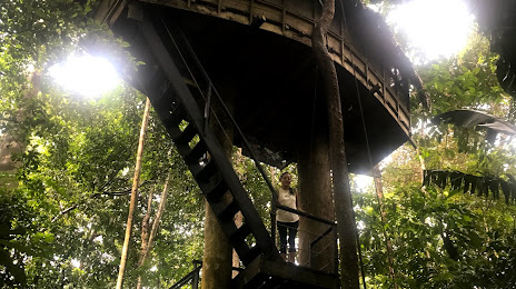
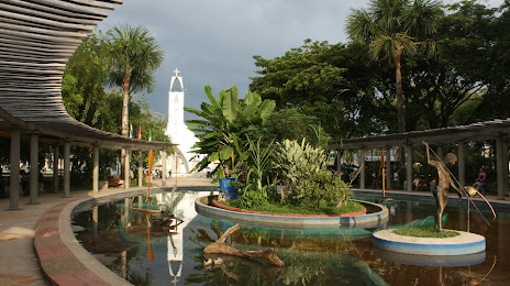
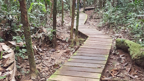
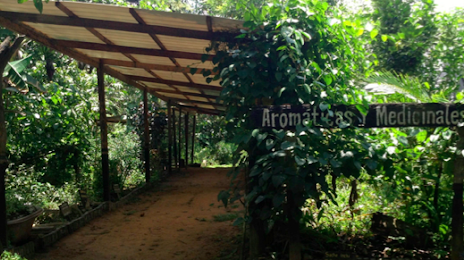
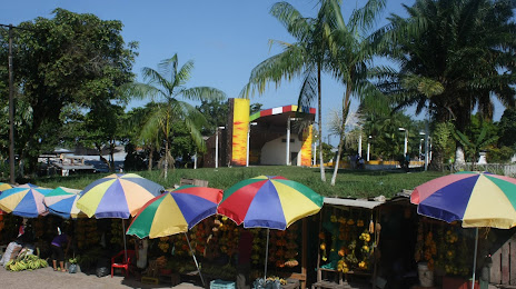
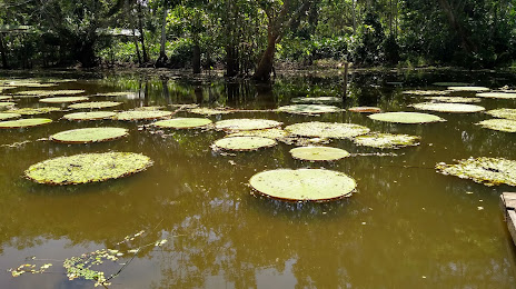
Attractions
Distance to the capital
Distance to the capital (Bogota) is about — 1082 km.