 Reston
Westerville
San Marcos
Austin
Indianapolis
Chandler
Branchburg
Blue Bell
Granville
Keuka Park
Piscataway Township
San Francisco
Bridgeton
Pittsburgh
Rye Brook
Panama
Aroostook County
New Germany
Paraje
Reston
Westerville
San Marcos
Austin
Indianapolis
Chandler
Branchburg
Blue Bell
Granville
Keuka Park
Piscataway Township
San Francisco
Bridgeton
Pittsburgh
Rye Brook
Panama
Aroostook County
New Germany
Paraje
Dearborn on the map, United States
Where is located Dearborn
Exact location — Dearborn, Wayne County, Michigan, United States, marked on the map with a red marker.
Coordinates
Dearborn, United States coordinates in decimal format: latitude — 42.3222599, longitude — -83.1763145. When converted to degrees, minutes, seconds Dearborn has the following coordinates: 42°19′20.14 north latitude and -83°10′34.73 east longitude.
Population
Dearborn, Wayne County, Michigan, United States, according to our data the population is — 95,170 residents, which is about 0% of the total population of the country (United States).
Comparison of the population on the graph:
Exact time
Time zone for this location Dearborn — UTC -4 America/New_York. Exact time — friday, 4 april 2024 year, 18 h. 30 minutes.
Sunrise and sunset
Dearborn, sunrise and sunset data for a date — friday 26.04.2024.
| Sunrise | Sunset | Day (duration) |
|---|---|---|
| 06:37 -1 minute | 20:23 +1 minute | 13 h. 48 minutes. +2 minutes |
You can control the scale of the map using the auxiliary tools to find out exactly where it is located Dearborn. When you change the scale of the map, the width of the ruler also changes (in kilometers and miles).
Nearby cities
The largest cities that are located nearby:
- Detroit — 11 km
- Windsor
 (Canada) — 11 km
 - Warren — 25 km
- Sterling Heights — 31 km
- Ann Arbor — 47 km
- Toledo — 79 km
- Flint — 87 km
- Lansing — 121 km
- Cleveland — 153 km
- London (Canada) — 173 km
- Aurora — 188 km
- Akron — 195 km
- Fort Wayne — 214 km
- Grand Rapids — 214 km
- Waterloo (Canada) — 248 km
- Kitchener (Canada) — 248 km
- Cambridge (Canada) — 257 km
- Columbus — 261 km
- South Bend — 264 km
Distance to neighboring capitals:
- Ottawa (Canada) — 691 km
- Belmopan
 (Belize) — 2839 km
 - Mexico City
 (Mexico) — 2955 km
 - Nuuk
 (Greenland) — 3142 km
 - Guatemala City
 (Guatemala) — 3162 km
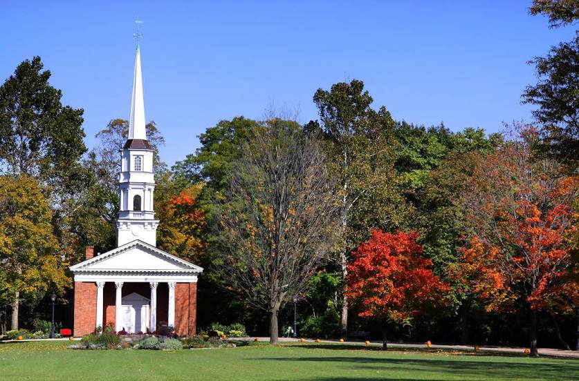
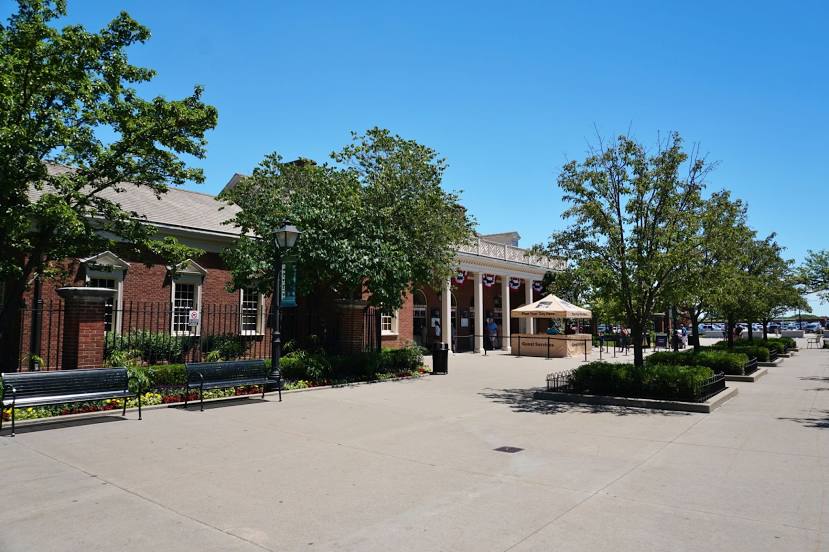
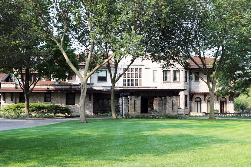
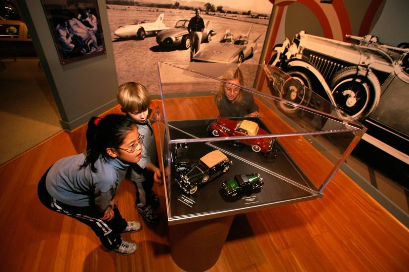
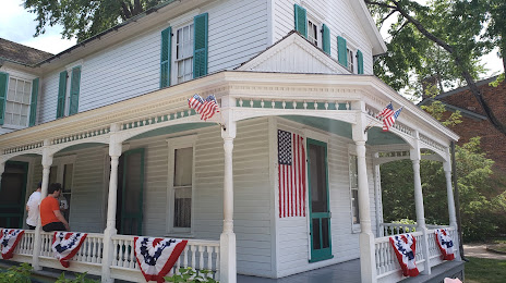
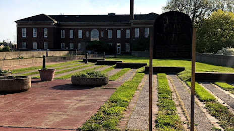
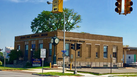
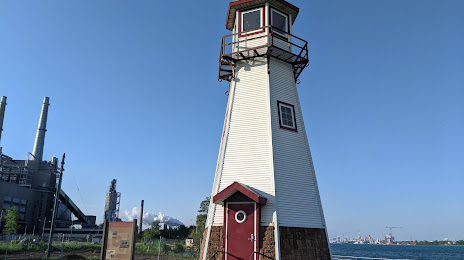
Attractions


Distance to the capital
Distance to the capital (Washington) is about — 642 km.