 Los Angeles
Edison
Cape May
Albany
Saddle Brook
South Plainfield
Joplin
Durham
San Diego
Philadelphia
Carlsbad
Hampton
Boston
Glen Burnie
Fort Lee
Dearborn
Round Rock
McKinney
Wilmington
Los Angeles
Edison
Cape May
Albany
Saddle Brook
South Plainfield
Joplin
Durham
San Diego
Philadelphia
Carlsbad
Hampton
Boston
Glen Burnie
Fort Lee
Dearborn
Round Rock
McKinney
Wilmington
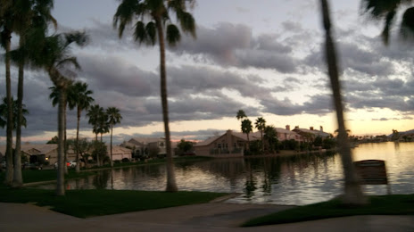
Chandler on the map, United States
Where is located Chandler
Exact location — Chandler, Maricopa County, Arizona, United States, marked on the map with a red marker.
Coordinates
Chandler, United States coordinates in decimal format: latitude — 33.3061605, longitude — -111.8412502. When converted to degrees, minutes, seconds Chandler has the following coordinates: 33°18′22.18 north latitude and -111°50′28.5 east longitude.
Population
Chandler, Maricopa County, Arizona, United States, according to our data the population is — 234,297 residents, which is about 0.1% of the total population of the country (United States).
Comparison of the population on the graph:
Exact time
Time zone for this location Chandler — UTC -7 America/Phoenix. Exact time — friday, 4 april 2024 year, 06 h. 45 minutes.
Sunrise and sunset
Chandler, sunrise and sunset data for a date — friday 26.04.2024.
| Sunrise | Sunset | Day (duration) |
|---|---|---|
| 05:46 -1 minute | 19:03 +1 minute | 13 h. 18 minutes. +2 minutes |
You can control the scale of the map using the auxiliary tools to find out exactly where it is located Chandler. When you change the scale of the map, the width of the ruler also changes (in kilometers and miles).
Nearby cities
The largest cities that are located nearby:
- Gilbert — 7 km
- Mesa — 12 km
- Tempe — 16 km
- Scottsdale — 22 km
- Phoenix — 27 km
- Glendale — 41 km
- Peoria — 47 km
- Tucson — 147 km
- Nogales — 234 km
- San Luis Río Colorado
 (Mexico) — 289 km
 - Mexicali (Mexico) — 345 km
- Henderson — 413 km
- Las Vegas — 432 km
- North Las Vegas — 433 km
- Spring Valley — 434 km
- Ensenada (Mexico) — 475 km
- Hermosillo (Mexico) — 476 km
- Escondido — 486 km
- Tijuana (Mexico) — 492 km
Distance to neighboring capitals:
- Mexico City (Mexico) — 1992 km
- Belmopan
 (Belize) — 2916 km
 - Guatemala City
 (Guatemala) — 2989 km
 - Ottawa
 (Canada) — 3352 km
 - Nuuk
 (Greenland) — 5282 km
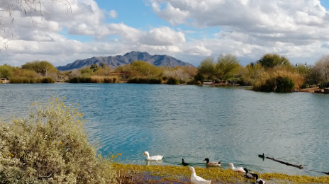
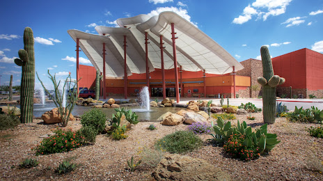
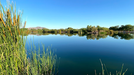
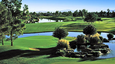
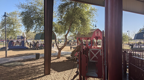
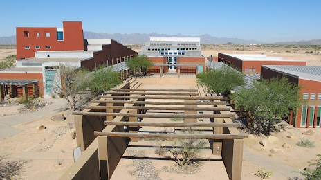
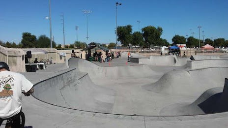
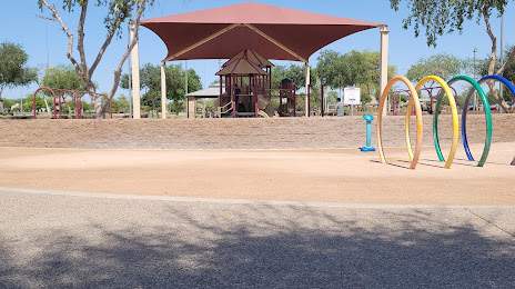
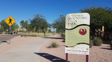
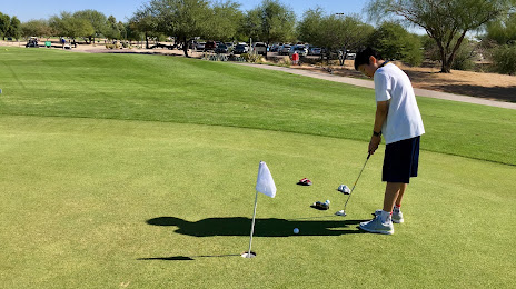
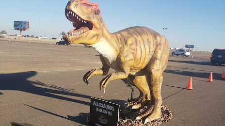
Attractions


Distance to the capital
Distance to the capital (Washington) is about — 3169 km.