 Dallas
Boca Raton
Amesbury
New Brunswick
Los Angeles
Edison
Cape May
Albany
Saddle Brook
Glen Burnie
Fort Lee
Dearborn
Round Rock
McKinney
Wilmington
Richmond
Chicago
Haverhill
San Jose
Dallas
Boca Raton
Amesbury
New Brunswick
Los Angeles
Edison
Cape May
Albany
Saddle Brook
Glen Burnie
Fort Lee
Dearborn
Round Rock
McKinney
Wilmington
Richmond
Chicago
Haverhill
San Jose
Westerville on the map, United States
Where is located Westerville
Exact location — Westerville, Franklin County, Ohio, United States, marked on the map with a red marker.
Coordinates
Westerville, United States coordinates in decimal format: latitude — 40.1261743, longitude — -82.9290696. When converted to degrees, minutes, seconds Westerville has the following coordinates: 40°7′34.23 north latitude and -82°55′44.65 east longitude.
Population
Westerville, Franklin County, Ohio, United States, according to our data the population is — 34,226 residents, which is about 0% of the total population of the country (United States).
Comparison of the population on the graph:
Exact time
Time zone for this location Westerville — UTC -4 America/New_York. Exact time — friday, 4 april 2024 year, 11 h. 22 minutes.
Sunrise and sunset
Westerville, sunrise and sunset data for a date — friday 26.04.2024.
| Sunrise | Sunset | Day (duration) |
|---|---|---|
| 06:40 -1 minute | 20:18 +1 minute | 13 h. 36 minutes. +2 minutes |
You can control the scale of the map using the auxiliary tools to find out exactly where it is located Westerville. When you change the scale of the map, the width of the ruler also changes (in kilometers and miles).
Nearby cities
The largest cities that are located nearby:
- Columbus — 19 km
- Springfield — 78 km
- Akron — 158 km
- Cincinnati — 177 km
- Toledo — 178 km
- Cleveland — 183 km
- Aurora — 186 km
- Fort Wayne — 212 km
- Windsor
 (Canada) — 242 km
 - Detroit — 244 km
- Ann Arbor — 247 km
- Pittsburgh — 249 km
- Warren — 264 km
- Sterling Heights — 271 km
- Indianapolis — 277 km
- Lansing — 317 km
- Louisville — 321 km
- South Bend — 324 km
- Flint — 325 km
Distance to neighboring capitals:
- Ottawa (Canada) — 833 km
- Belmopan
 (Belize) — 2606 km
 - Mexico City
 (Mexico) — 2773 km
 - Guatemala City
 (Guatemala) — 2933 km
 - Nuuk
 (Greenland) — 3349 km
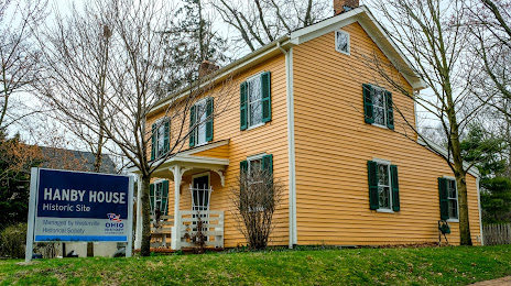
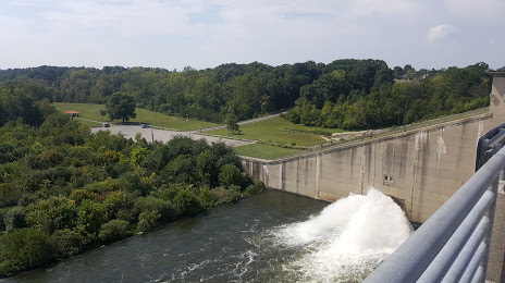
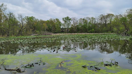
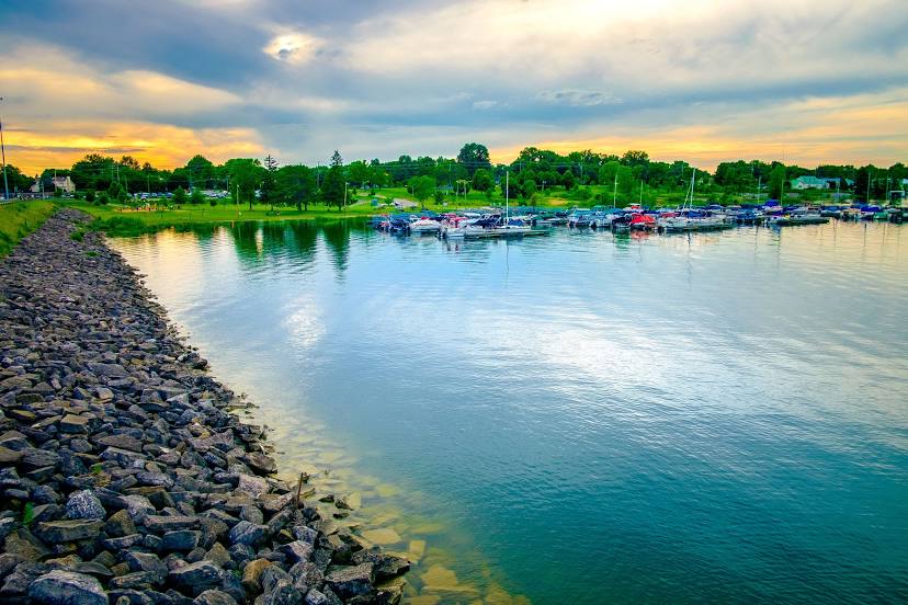
Attractions


Distance to the capital
Distance to the capital (Washington) is about — 523 km.