 Sterling Airport
Manassas
Culpeper
Jacksonville
Frankfort
Herndon
Warrenton
Arlington
Gordonsville
Chino
Enfield
Willowbrook
Savannah
Hacienda Heights
Bolingbrook
Melrose Park
Lombard
Joliet
Bangor
Sterling Airport
Manassas
Culpeper
Jacksonville
Frankfort
Herndon
Warrenton
Arlington
Gordonsville
Chino
Enfield
Willowbrook
Savannah
Hacienda Heights
Bolingbrook
Melrose Park
Lombard
Joliet
Bangor
Wheeling on the map, United States
Where is located Wheeling
Exact location — Wheeling, Ohio County, West Virginia, United States, marked on the map with a red marker.
Coordinates
Wheeling, United States coordinates in decimal format: latitude — 40.0639616, longitude — -80.7209149. When converted to degrees, minutes, seconds Wheeling has the following coordinates: 40°3′50.26 north latitude and -80°43′15.29 east longitude.
Population
Wheeling, Ohio County, West Virginia, United States, according to our data the population is — 29,388 residents, which is about 0% of the total population of the country (United States).
Comparison of the population on the graph:
Exact time
Time zone for this location Wheeling — UTC -4 America/New_York. Exact time — sunday, 4 april 2024 year, 05 h. 39 minutes.
Sunrise and sunset
Wheeling, sunrise and sunset data for a date — sunday 28.04.2024.
| Sunrise | Sunset | Day (duration) |
|---|---|---|
| 06:28 -1 minute | 20:11 +1 minute | 13 h. 42 minutes. +2 minutes |
You can control the scale of the map using the auxiliary tools to find out exactly where it is located Wheeling. When you change the scale of the map, the width of the ruler also changes (in kilometers and miles).
Nearby cities
The largest cities that are located nearby:
- Pittsburgh — 74 km
- Akron — 131 km
- Aurora — 148 km
- Cleveland — 178 km
- Columbus — 193 km
- Springfield — 262 km
- Toledo — 293 km
- Windsor
 (Canada) — 313 km
 - Detroit — 315 km
- London (Canada) — 326 km
- Boston — 326 km
- Warren — 329 km
- Sterling Heights — 336 km
- Cincinnati — 342 km
- Alexandria — 346 km
- Buffalo — 346 km
- Ann Arbor — 348 km
- Amherst — 358 km
- Hamilton (Canada) — 359 km
Distance to neighboring capitals:
- Ottawa (Canada) — 723 km
- Belmopan
 (Belize) — 2653 km
 - Mexico City
 (Mexico) — 2890 km
 - Guatemala City
 (Guatemala) — 2987 km
 - Nuuk
 (Greenland) — 3273 km
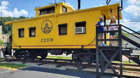
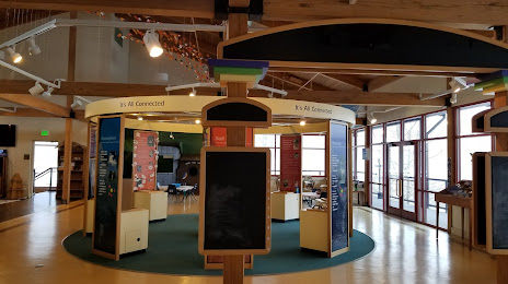
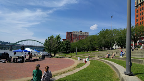
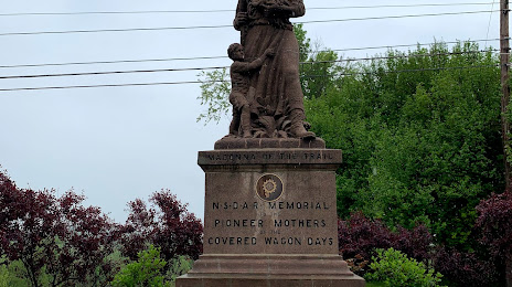
Attractions


Distance to the capital
Distance to the capital (Washington) is about — 341 km.