 Duluth
Troy Airport
Vineland
Suffern
Phoenix
Greenville
Detroit
Toledo
Jasper
Herndon
Frankfort
Jacksonville
Culpeper
Manassas
Sterling Airport
Alexandria
Boise
Chapel Hill
Fair Lawn
Duluth
Troy Airport
Vineland
Suffern
Phoenix
Greenville
Detroit
Toledo
Jasper
Herndon
Frankfort
Jacksonville
Culpeper
Manassas
Sterling Airport
Alexandria
Boise
Chapel Hill
Fair Lawn
Gahanna on the map, United States
Where is located Gahanna
Exact location — Gahanna, Franklin County, Ohio, United States, marked on the map with a red marker.
Coordinates
Gahanna, United States coordinates in decimal format: latitude — 40.0192307, longitude — -82.8793446. When converted to degrees, minutes, seconds Gahanna has the following coordinates: 40°1′9.23 north latitude and -82°52′45.64 east longitude.
Population
Gahanna, Franklin County, Ohio, United States, according to our data the population is — 33,127 residents, which is about 0% of the total population of the country (United States).
Comparison of the population on the graph:
Exact time
Time zone for this location Gahanna — UTC -4 America/New_York. Exact time — sunday, 4 april 2024 year, 10 h. 20 minutes.
Sunrise and sunset
Gahanna, sunrise and sunset data for a date — sunday 28.04.2024.
| Sunrise | Sunset | Day (duration) |
|---|---|---|
| 06:37 -1 minute | 20:20 +1 minute | 13 h. 42 minutes. +2 minutes |
You can control the scale of the map using the auxiliary tools to find out exactly where it is located Gahanna. When you change the scale of the map, the width of the ruler also changes (in kilometers and miles).
Nearby cities
The largest cities that are located nearby:
- Columbus — 12 km
- Springfield — 80 km
- Akron — 163 km
- Cincinnati — 173 km
- Toledo — 190 km
- Cleveland — 191 km
- Aurora — 192 km
- Fort Wayne — 222 km
- Pittsburgh — 247 km
- Windsor
 (Canada) — 254 km
 - Detroit — 256 km
- Ann Arbor — 260 km
- Warren — 276 km
- Indianapolis — 280 km
- Sterling Heights — 283 km
- Louisville — 317 km
- Lansing — 329 km
- South Bend — 333 km
- Flint — 337 km
Distance to neighboring capitals:
- Ottawa (Canada) — 839 km
- Belmopan
 (Belize) — 2595 km
 - Mexico City
 (Mexico) — 2766 km
 - Guatemala City
 (Guatemala) — 2922 km
 - Nuuk
 (Greenland) — 3358 km
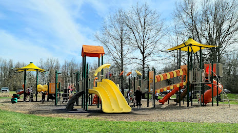
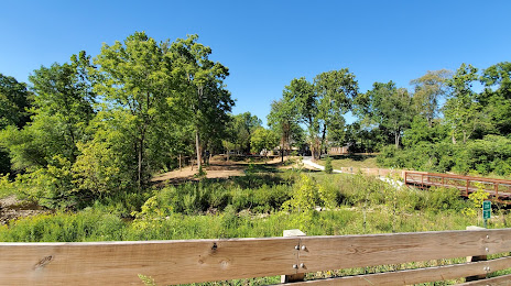
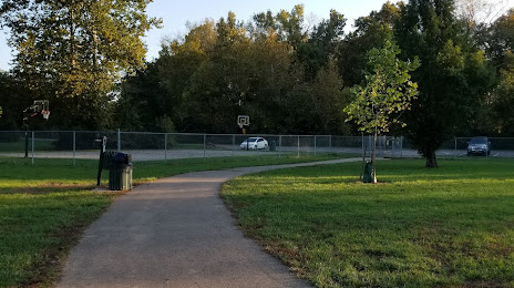
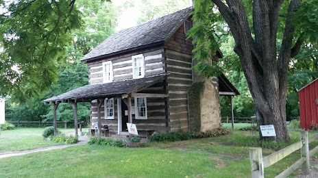
Attractions


Distance to the capital
Distance to the capital (Washington) is about — 517 km.