Cape Coral — Frackville
Cape Coral — Apollo Beach
Cape Coral — Chatsworth
Cape Coral — Loveland
Cape Coral — Wiconisco
Cape Coral — Blodgett
Cape Coral — Beulah Field
Cape Coral — North Falmouth
Cape Coral — Rock Hill
Cape Coral — Hookstown
Cape Coral — Fairbanks
Cape Coral — Othello
Cape Coral — Chidester
Cape Coral — Shalimar
Cape Coral — Maroa
Cape Coral — Drumore
Cape Coral — Heartwell
Cape Coral — Decaturville
Cape Coral — Mount Vernon
Lee County
Air Ambulance by Air Trek
Punta Gorda
Port Charlotte
North Port
Nokomis
Osprey
Ellenton
Sun City
Gulf City
Raskin
Sun City Center
Apollo Beach
Riverview
Brandon
Mango
Hillsborough County
Temple Terrace
University
Wesley Chapel
Nobleton
Sumter County
Wildwood
Ocala
Micanopy
Arredondo
Alachua
High Springs
Lake City
Wellborn
White Springs
Leon County
Tallahassee
Sneads
Marianna
Cottondale
Alford
Chipley
Bonifay
Ponce de Leon
DeFuniak Springs
Mossy Head
Crestview
Milton
Brent
Gonzalez
Loxley
Spanish Fort
Mobile
Cape Coral — San Antonio distance, route on the map
Distance by car
Distance between Cape Coral, Florida, United States and San Antonio, Texas, United States by car is — km, or miles. To travel this distance by car, you need minute, or h.
Route on the map, driving directions
Car route Cape Coral — San Antonio was created automatically. The road on the map is shown as a blue line. By moving the markers, you can create a new route through the points you need.
Passing cities through which the car route passes: Cape Coral, Lee County, Air Ambulance by Air Trek, Punta Gorda, Port Charlotte, North Port, Nokomis, Osprey, Ellenton, Sun City, Gulf City, Raskin, Sun City Center, Apollo Beach, Riverview, Brandon, Mango, Hillsborough County, Temple Terrace, University, Wesley Chapel, Nobleton, Sumter County, Wildwood, Ocala, Micanopy, Arredondo, Alachua, High Springs, Lake City, Wellborn, White Springs, Leon County, Tallahassee, Sneads, Marianna, Cottondale, Alford, Chipley, Bonifay, Ponce de Leon, DeFuniak Springs, Mossy Head, Crestview, Milton, Brent, Gonzalez, Loxley, Spanish Fort, Mobile.
Distance by plane
If you decide to take a trip Cape Coral San Antonio by plane, then you have to fly the distance — 1654 km or 1025 miles. It is marked on the map with a gray line (between two points in a straight line).
Flight time
Estimated flight time Cape Coral San Antonio by plane at cruising speed 750 km / h will be — 2 h. and 12 min.
Direction of movement
United States, Cape Coral — right-hand traffic. United States, San Antonio — right-hand traffic.
Difference in time
Cape Coral and San Antonio are in different time zones. The time difference is 1 hour (UTC -4 America/New_York, UTC -5 America/Chicago).
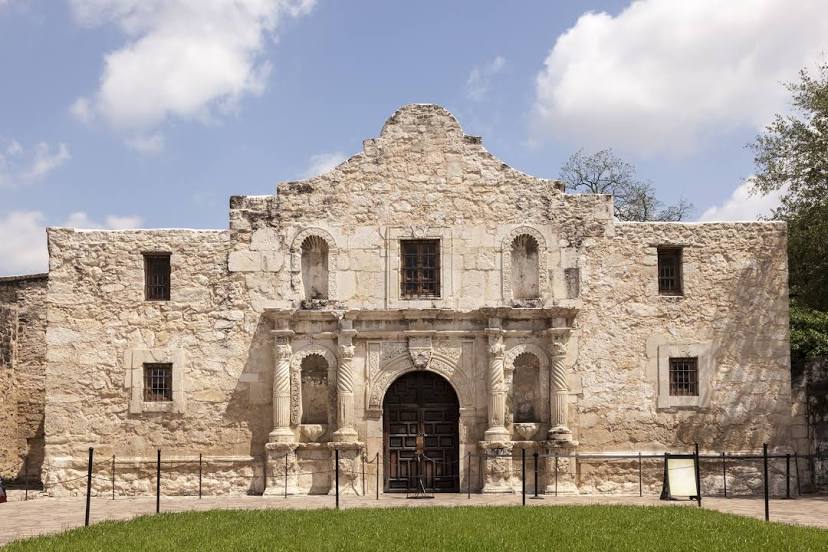
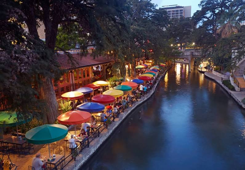
Interesting Facts
Information on alternative ways to get to your destination.
The length of this distance is about 4.1% of the total length of the equator.
The percentage of the population is clearly shown in the graph:
Cape Coral — 130,807 (less by 1,126,003), San Antonio — 1,256,810 residents.
The cost of travel
Calculate the cost of the trip yourself using the fuel consumption calculator, changing the data in the table.
Calculate the cost of other distances from the starting point — Cape Coral.