 Cullman
Norwalk
Redondo Beach
Orange
Iron River
Burnham
Appleton
Menomonee Falls
Kewaskum
Newport News
Albany
South Amboy
Thibodaux
Watsonville
New Braunfels
Sayreville
San Luis Obispo
North Brunswick Township
Phillipsburg
Cullman
Norwalk
Redondo Beach
Orange
Iron River
Burnham
Appleton
Menomonee Falls
Kewaskum
Newport News
Albany
South Amboy
Thibodaux
Watsonville
New Braunfels
Sayreville
San Luis Obispo
North Brunswick Township
Phillipsburg
Marquette on the map, United States
Where is located Marquette
Exact location — Marquette, Marquette County, Michigan, United States, marked on the map with a red marker.
Coordinates
Marquette, United States coordinates in decimal format: latitude — 46.5475825, longitude — -87.3955954. When converted to degrees, minutes, seconds Marquette has the following coordinates: 46°32′51.3 north latitude and -87°23′44.14 east longitude.
Population
Marquette, Marquette County, Michigan, United States, according to our data the population is — 20,831 residents, which is about 0% of the total population of the country (United States).
Comparison of the population on the graph:
Exact time
Time zone for this location Marquette — UTC -4 America/New_York. Exact time — wednesday, 5 may 2024 year, 01 h. 05 minutes.
Sunrise and sunset
Marquette, sunrise and sunset data for a date — wednesday 8.05.2024.
| Sunrise | Sunset | Day (duration) |
|---|---|---|
| 06:27 -1 minute | 21:04 +1 minute | 14 h. 36 minutes. +2 minutes |
You can control the scale of the map using the auxiliary tools to find out exactly where it is located Marquette. When you change the scale of the map, the width of the ruler also changes (in kilometers and miles).
Nearby cities
The largest cities that are located nearby:
- Green Bay — 230 km
- Milwaukee — 390 km
- Madison — 417 km
- Grand Rapids — 420 km
- Saint Paul — 479 km
- Lansing — 481 km
- Minneapolis — 491 km
- Flint — 493 km
- Rockford — 493 km
- Chicago — 517 km
- Naperville — 534 km
- Aurora — 535 km
- South Bend — 547 km
- Joliet — 558 km
- Ann Arbor — 558 km
- Sterling Heights — 565 km
- Warren — 571 km
- Detroit — 586 km
- Windsor
 (Canada) — 588 km
Distance to neighboring capitals:
- Ottawa (Canada) — 912 km
- Nuuk
 (Greenland) — 2920 km
 - Mexico City
 (Mexico) — 3200 km
 - Belmopan
 (Belize) — 3261 km
 - Guatemala City
 (Guatemala) — 3564 km
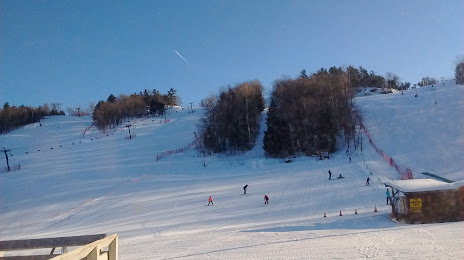
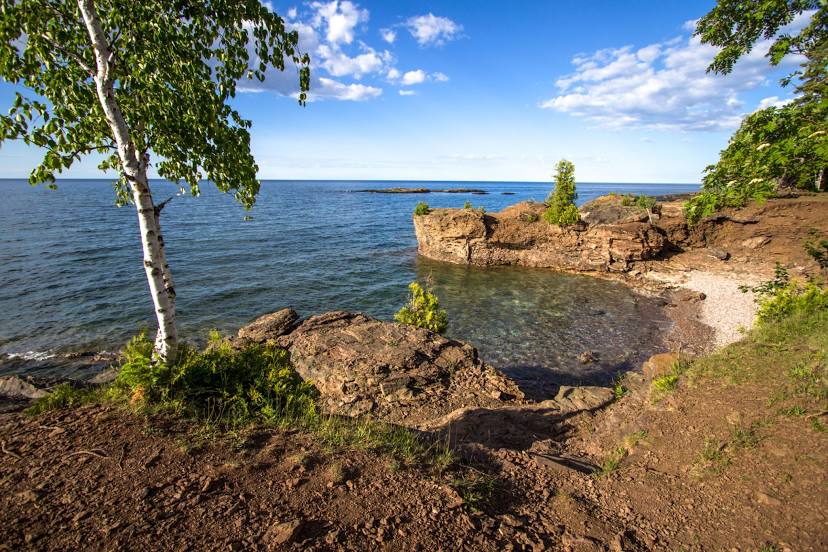
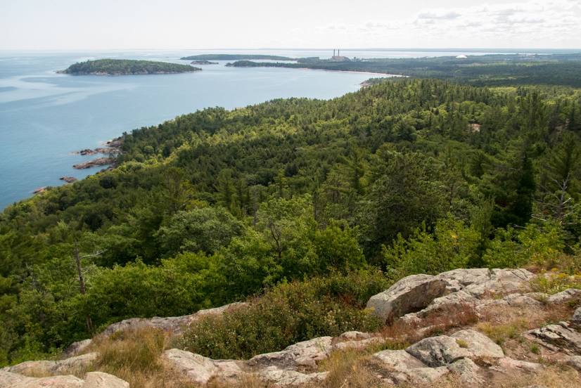
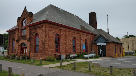
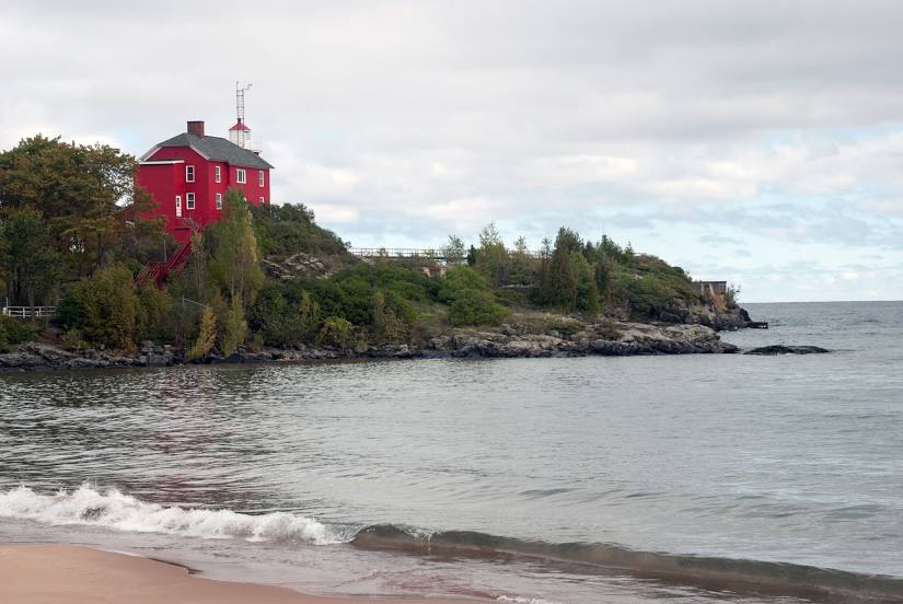
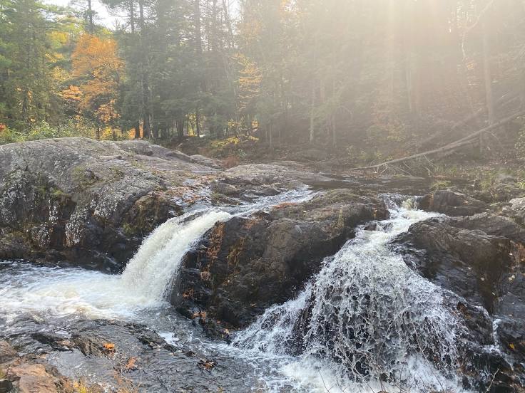
Attractions


Distance to the capital
Distance to the capital (Washington) is about — 1197 km.