 Grand Haven
Benton Harbor
Owatonna
Rice Lake
Addison
Warrenville
Glen Ellyn
Statesboro
Bonifay
Two Rivers
Elkhorn
Corte Madera
Franklin
Mansfield Airport
Huntington Beach
Wynne
Cartersville
Woodstock
Nantucket
Grand Haven
Benton Harbor
Owatonna
Rice Lake
Addison
Warrenville
Glen Ellyn
Statesboro
Bonifay
Two Rivers
Elkhorn
Corte Madera
Franklin
Mansfield Airport
Huntington Beach
Wynne
Cartersville
Woodstock
Nantucket
Weslaco on the map, United States
Where is located Weslaco
Exact location — Weslaco, Hidalgo County, Texas, United States, marked on the map with a red marker.
Coordinates
Weslaco, United States coordinates in decimal format: latitude — 26.1595194, longitude — -97.9908366. When converted to degrees, minutes, seconds Weslaco has the following coordinates: 26°9′34.27 north latitude and -97°59′27.01 east longitude.
Population
Weslaco, Hidalgo County, Texas, United States, according to our data the population is — 32,732 residents, which is about 0% of the total population of the country (United States).
Comparison of the population on the graph:
Exact time
Time zone for this location Weslaco — UTC -5 America/Chicago. Exact time — friday, 4 april 2024 year, 12 h. 13 minutes.
Sunrise and sunset
Weslaco, sunrise and sunset data for a date — friday 26.04.2024.
| Sunrise | Sunset | Day (duration) |
|---|---|---|
| 07:00 -1 minute | 19:58 -0 minutes | 13 h. 0 minutes. +1 minute |
You can control the scale of the map using the auxiliary tools to find out exactly where it is located Weslaco. When you change the scale of the map, the width of the ruler also changes (in kilometers and miles).
Nearby cities
The largest cities that are located nearby:
- McAllen — 24 km
- Reynosa
 (Mexico) — 29 km
 - Brownsville — 57 km
- Matamoros (Mexico) — 58 km
- Corpus Christi — 191 km
- Laredo — 210 km
- Nuevo Laredo (Mexico) — 211 km
- Apodaca (Mexico) — 223 km
- Guadalupe (Mexico) — 232 km
- San Nicolas de los Garza (Mexico) — 233 km
- General Escobedo (Mexico) — 235 km
- Monterrey (Mexico) — 238 km
- San Pedro Garza García (Mexico) — 247 km
- Santa Catarina (Mexico) — 252 km
- Ciudad Victoria (Mexico) — 292 km
- Saltillo (Mexico) — 311 km
- Monclova (Mexico) — 348 km
- San Antonio — 364 km
- Piedras Negras (Mexico) — 373 km
Distance to neighboring capitals:
- Mexico City (Mexico) — 757 km
- Belmopan
 (Belize) — 1374 km
 - Guatemala City
 (Guatemala) — 1500 km
 - Ottawa
 (Canada) — 2919 km
 - Nuuk
 (Greenland) — 5355 km
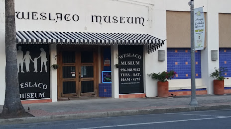
Attractions


Distance to the capital
Distance to the capital (Washington) is about — 2413 km.