Guadalupe — Arthur
Guadalupe — Garza County
Guadalupe — Castalian Springs
Guadalupe — Pleasant Hill
Guadalupe — Oklahoma City
Guadalupe — San Jose
Guadalupe — The Pinery
Guadalupe — Flemingsburg
Guadalupe — Walthall
Guadalupe — Bunker Hill
Guadalupe — Rome
Guadalupe — Cleveland
Guadalupe — Tenakee Springs
Guadalupe — Lakewood
Guadalupe — Boswell
Guadalupe — Mount Sidney
Guadalupe — Milledgeville
Guadalupe — Mirikənd
Guadalupe — Colorado Springs
Arroyo Grande
Grover Beach
Pismo Beach
Avila Beach
San Luis Obispo
San Luis Obispo
Santa Margarita
Atascadero
Templeton
Paso Robles
Nacimiento
Bradley
San Lucas
King City
Soledad
Gonzales
Chualar
Salinas
Natividad
San Juan Bautista
Gilroy
Morgan Hill
Coyote
San Jose
San Jose
Alum Rock
Milpitas
Fremont
Sunol
Pleasanton
Dublin
San Ramon
Danville
Alamo
Walnut Creek
Pleasant Hill
Pacheco
Martinez
Benicia
Suval
Fairfield
Vacaville
Winters
Madison
Zamora
Dunnigan
Arbuckle
Genevra
Williams
Willows
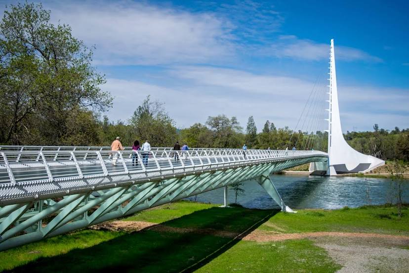
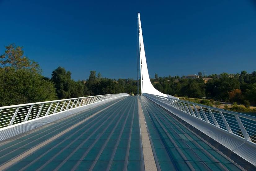
Guadalupe — Redding distance, route on the map
Distance by car
Distance between Guadalupe, California, United States and Redding, California, United States by car is — km, or miles. To travel this distance by car, you need minute, or h.
Route on the map, driving directions
Car route Guadalupe — Redding was created automatically. The road on the map is shown as a blue line. By moving the markers, you can create a new route through the points you need.
Passing cities through which the car route passes: Oceano, Arroyo Grande, Grover Beach, Pismo Beach, Avila Beach, San Luis Obispo, San Luis Obispo, Santa Margarita, Atascadero, Templeton, Paso Robles, Nacimiento, Bradley, San Lucas, King City, Soledad, Gonzales, Chualar, Salinas, Natividad, San Juan Bautista, Gilroy, Morgan Hill, Coyote, San Jose, San Jose, Alum Rock, Milpitas, Fremont, Sunol, Pleasanton, Dublin, San Ramon, Danville, Alamo, Walnut Creek, Pleasant Hill, Pacheco, Martinez, Benicia, Suval, Fairfield, Vacaville, Winters, Madison, Zamora, Dunnigan, Arbuckle, Genevra, Williams, Willows.
Distance by plane
If you decide to take a trip Guadalupe Redding by plane, then you have to fly the distance — 645 km or 400 miles. It is marked on the map with a gray line (between two points in a straight line).
Flight time
Estimated flight time Guadalupe Redding by plane at cruising speed 750 km / h will be — 51 min.
Direction of movement
United States, Guadalupe — right-hand traffic. United States, Redding — right-hand traffic.
Difference in time
Guadalupe and Redding are in the same time zone. Between them there is no time difference (UTC -7 America/Los_Angeles).
Interesting Facts
Information on alternative ways to get to your destination.
The length of this distance is about 1.6% of the total length of the equator.
The percentage of the population is clearly shown in the graph:
Guadalupe — 7,080 (less by 84,605), Redding — 91,685 residents.
The cost of travel
Calculate the cost of the trip yourself using the fuel consumption calculator, changing the data in the table.