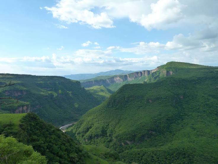
Xichú — El Molino
Xichú — San Mateo Atenco
Xichú — General Zuazua
Xichú — Tuxpan
Xichú — Cardona
Xichú — Galeana
Xichú — Gabriel Zamora
Xichú — Nácori Chico
Xichú — Ecuandureo
Xichú — Nazareno Etla
Xichú — Colonia Alamillo
Xichú — Oaxaca
Xichú — San Miguel el Grande
Xichú — San Vicente
Xichú — Rodolfo Sanchez Taboada
Xichú — San Cristóbal
Xichú — Macuspana
Xichú — Arteaga
Xichú — Acajete
San Luis de la Paz
Purisima
Dolores Hidalgo Cuna de la Independencia Nacional
La Peregrina
Guanajuato
Marfil
Silao
Guanajuato International Airport
Duarte
Lyon
Estancia
San Juan de los Lagos
Jalostotitlán
Valle de Guadalupe
Tepatitlan de Morelos
Cuatro Caminos
Tierras Coloradas
Acatic
Zapotlanejo
La Laja
Puente Grande
Xichú — Tonalá distance, route on the map
Distance by car
Distance between Xichú, Guanajuato, Mexico and Tonalá, Jalisco, Mexico by car is — km, or miles. To travel this distance by car, you need minute, or h.
Route on the map, driving directions
Car route Xichú — Tonalá was created automatically. The road on the map is shown as a blue line. By moving the markers, you can create a new route through the points you need.
Passing cities through which the car route passes: San Luis de la Paz, San Luis de la Paz, Purisima, Dolores Hidalgo Cuna de la Independencia Nacional, La Peregrina, Guanajuato, Marfil, Silao, Guanajuato International Airport, Duarte, Lyon, Estancia, San Juan de los Lagos, Jalostotitlán, Valle de Guadalupe, Tepatitlan de Morelos, Cuatro Caminos, Tierras Coloradas, Acatic, Zapotlanejo, La Laja, Puente Grande.
Distance by plane
If you decide to take a trip Xichú Tonalá by plane, then you have to fly the distance — 339 km or 210 miles. It is marked on the map with a gray line (between two points in a straight line).
Flight time
Estimated flight time Xichú Tonalá by plane at cruising speed 750 km / h will be — 27 min.
Direction of movement
Mexico, Xichú — right-hand traffic. Mexico, Tonalá — right-hand traffic.
Difference in time
Xichú and Tonalá are in the same time zone. Between them there is no time difference (UTC -6 America/Mexico_City).
Interesting Facts
Information on alternative ways to get to your destination.
The length of this distance is about 0.8% of the total length of the equator.
The percentage of the population is clearly shown in the graph:
Xichú — 1,569 (less by 399,940), Tonalá — 401,509 residents.
The cost of travel
Calculate the cost of the trip yourself using the fuel consumption calculator, changing the data in the table.