 Jacksonville
Frankfort
Herndon
Warrenton
Arlington
Gordonsville
Catlett
Winchester
Piru
Coraopolis
Murrysville
Warwick
Chino
Enfield
Willowbrook
Savannah
Hacienda Heights
Bolingbrook
Melrose Park
Jacksonville
Frankfort
Herndon
Warrenton
Arlington
Gordonsville
Catlett
Winchester
Piru
Coraopolis
Murrysville
Warwick
Chino
Enfield
Willowbrook
Savannah
Hacienda Heights
Bolingbrook
Melrose Park
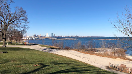
Milwaukee on the map, United States
Where is located Milwaukee
Exact location — Milwaukee, Milwaukee County, Wisconsin, United States, marked on the map with a red marker.
Coordinates
Milwaukee, United States coordinates in decimal format: latitude — 43.0389025, longitude — -87.9064736. When converted to degrees, minutes, seconds Milwaukee has the following coordinates: 43°2′20.05 north latitude and -87°54′23.3 east longitude.
Population
Milwaukee, Milwaukee County, Wisconsin, United States, according to our data the population is — 579,180 residents, which is about 0.2% of the total population of the country (United States).
Comparison of the population on the graph:
Exact time
Time zone for this location Milwaukee — UTC -5 America/Chicago. Exact time — friday, 4 april 2024 year, 03 h. 57 minutes.
Sunrise and sunset
Milwaukee, sunrise and sunset data for a date — friday 26.04.2024.
| Sunrise | Sunset | Day (duration) |
|---|---|---|
| 05:54 -2 minutes | 19:44 +2 minutes | 13 h. 48 minutes. +4 minutes |
You can control the scale of the map using the auxiliary tools to find out exactly where it is located Milwaukee. When you change the scale of the map, the width of the ruler also changes (in kilometers and miles).
Nearby cities
The largest cities that are located nearby:
- Madison — 121 km
- Rockford — 129 km
- Chicago — 130 km
- Naperville — 144 km
- Aurora — 145 km
- Green Bay — 164 km
- Joliet — 168 km
- Grand Rapids — 181 km
- South Bend — 203 km
- Lansing — 274 km
- Peoria — 295 km
- Fort Wayne — 316 km
- Flint — 341 km
- Ann Arbor — 351 km
- Toledo — 390 km
- Indianapolis — 391 km
- Sterling Heights — 400 km
- Warren — 403 km
- Detroit — 405 km
Distance to neighboring capitals:
- Ottawa
 (Canada) — 1007 km
 - Mexico City
 (Mexico) — 2828 km
 - Belmopan
 (Belize) — 2869 km
 - Guatemala City
 (Guatemala) — 3172 km
 - Nuuk
 (Greenland) — 3268 km
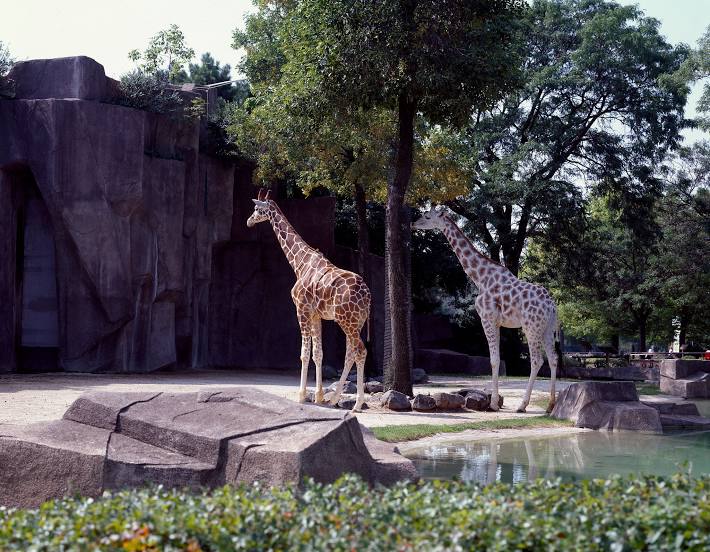
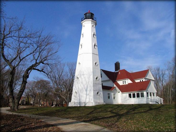
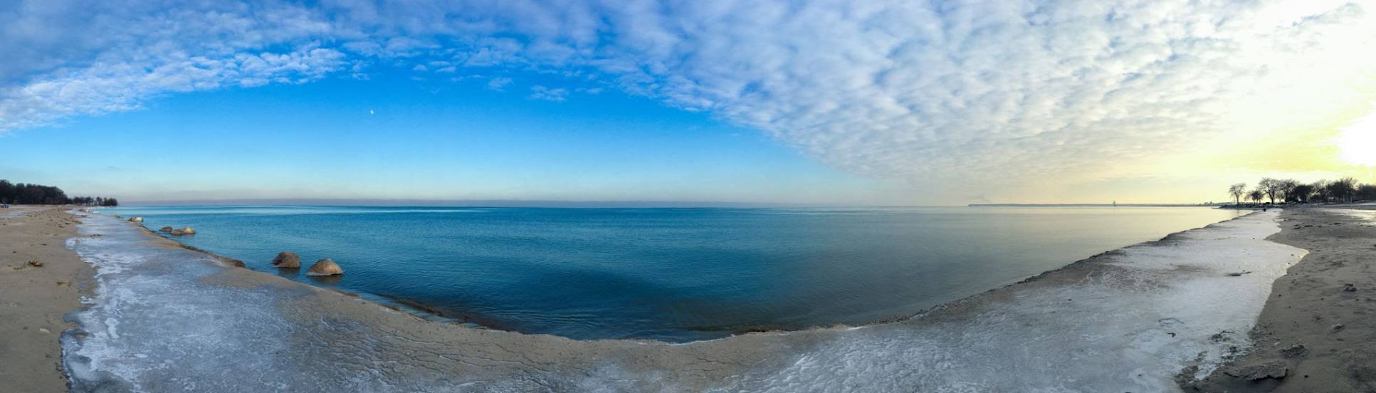
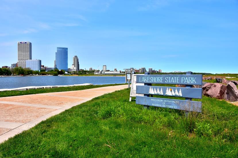
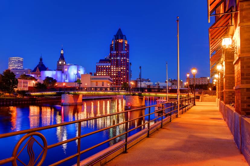
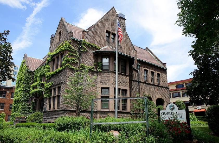
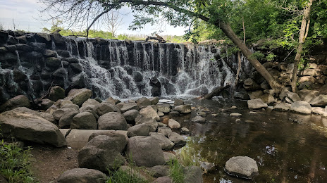
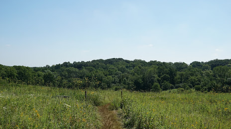
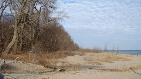
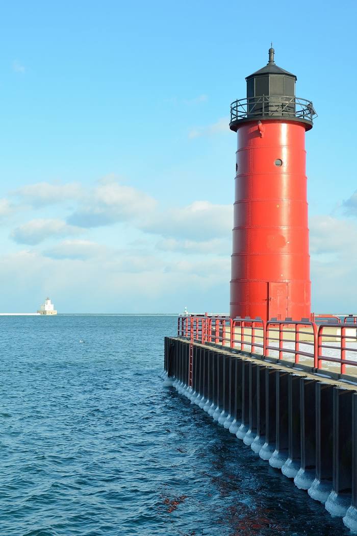
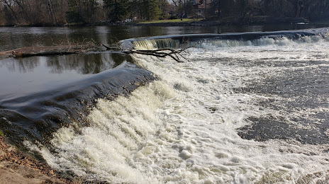
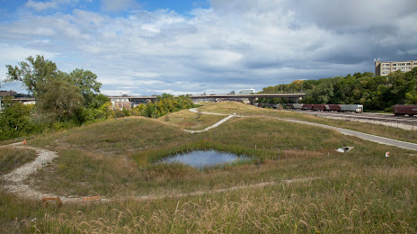
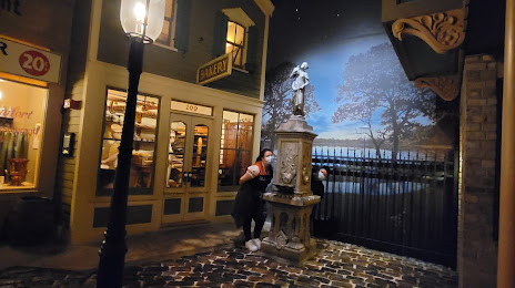
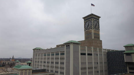
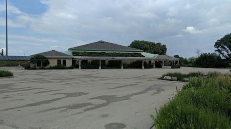
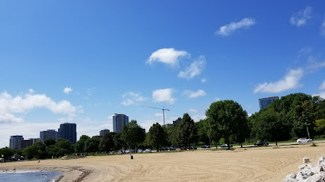
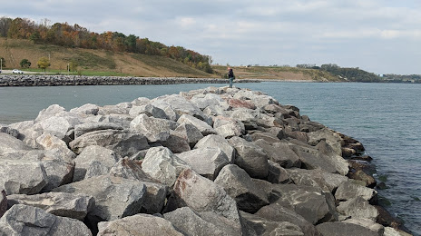
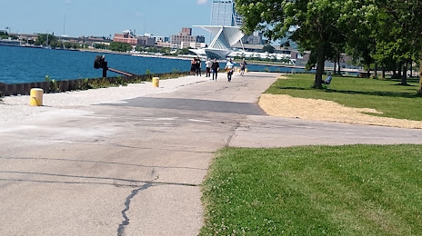
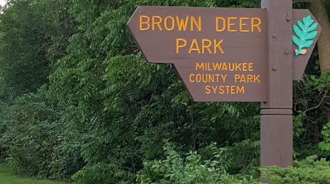
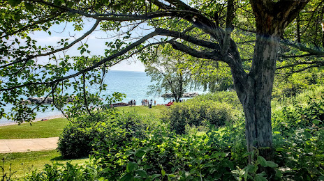
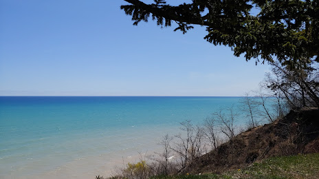
Attractions


Distance to the capital
Distance to the capital (Washington) is about — 1021 km.