Palm Springs — Upton
Palm Springs — Mossville
Palm Springs — Axtell
Palm Springs — Barton City
Palm Springs — Cambria
Palm Springs — Buttonwillow
Palm Springs — Pauls Valley
Palm Springs — Primm Springs
Palm Springs — Coyote
Palm Springs — Acton
Palm Springs — Gatzke
Palm Springs — Bartlesville
Palm Springs — Canandaigua
Palm Springs — Fluvanna County
Palm Springs — Kiln
Palm Springs — Ridgely
Palm Springs — Tonopah
Palm Springs — San Tan Valley
Palm Springs — Elderton
Cabazon
Banning
Cherry Valley
Calimesa
Moreno Valley
Riverside
Ontario
LA/Ontario International Airport
Ontario
Chino
Pomona
Diamond Bar
Rowland Heights
La Puente
City of Industry
Avocado Heights
South El Monte
Montebello
East Los Angeles
Vernon
Palm Springs — Inglewood distance, route on the map
Distance by car
Distance between Palm Springs, California, United States and Inglewood, California, United States by car is — km, or miles. To travel this distance by car, you need minute, or h.
Route on the map, driving directions
Car route Palm Springs — Inglewood was created automatically. The road on the map is shown as a blue line. By moving the markers, you can create a new route through the points you need.
Passing cities through which the car route passes: North Palm Springs, Cabazon, Banning, Cherry Valley, Calimesa, Moreno Valley, Riverside, Ontario, LA/Ontario International Airport, Ontario, Chino, Pomona, Diamond Bar, Rowland Heights, La Puente, City of Industry, Avocado Heights, South El Monte, Montebello, East Los Angeles, Vernon.
Distance by plane
If you decide to take a trip Palm Springs Inglewood by plane, then you have to fly the distance — 168 km or 104 miles. It is marked on the map with a gray line (between two points in a straight line).
Flight time
Estimated flight time Palm Springs Inglewood by plane at cruising speed 750 km / h will be — 13 min.
Direction of movement
United States, Palm Springs — right-hand traffic. United States, Inglewood — right-hand traffic.
Difference in time
Palm Springs and Inglewood are in the same time zone. Between them there is no time difference (UTC -7 America/Los_Angeles).
Interesting Facts
Information on alternative ways to get to your destination.
The length of this distance is about 0.4% of the total length of the equator.
The percentage of the population is clearly shown in the graph:
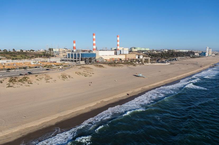
Palm Springs — 46,680 (less by 69,478), Inglewood — 116,158 residents.
The cost of travel
Calculate the cost of the trip yourself using the fuel consumption calculator, changing the data in the table.