 Shreveport
Bismarck
West Plains
Little Rock
Bossier City
Mabelvale
Houston
Beaumont
Pine Bluff
Miamisburg
Rapid City
Norman
Burbank
South San Francisco
Yuma
Canton
Glendale
West Springfield
Casper
Shreveport
Bismarck
West Plains
Little Rock
Bossier City
Mabelvale
Houston
Beaumont
Pine Bluff
Miamisburg
Rapid City
Norman
Burbank
South San Francisco
Yuma
Canton
Glendale
West Springfield
Casper
Lake Charles on the map, United States
Where is located Lake Charles
Exact location — Lake Charles, Calcasieu Parish, Louisiana, United States, marked on the map with a red marker.
Coordinates
Lake Charles, United States coordinates in decimal format: latitude — 30.2265949, longitude — -93.2173758. When converted to degrees, minutes, seconds Lake Charles has the following coordinates: 30°13′35.74 north latitude and -93°13′2.55 east longitude.
Population
Lake Charles, Calcasieu Parish, Louisiana, United States, according to our data the population is — 70,309 residents, which is about 0% of the total population of the country (United States).
Comparison of the population on the graph:
Exact time
Time zone for this location Lake Charles — UTC -5 America/Chicago. Exact time — friday, 4 april 2024 year, 23 h. 45 minutes.
Sunrise and sunset
Lake Charles, sunrise and sunset data for a date — friday 26.04.2024.
| Sunrise | Sunset | Day (duration) |
|---|---|---|
| 06:36 -1 minute | 19:44 -0 minutes | 13 h. 6 minutes. +1 minute |
You can control the scale of the map using the auxiliary tools to find out exactly where it is located Lake Charles. When you change the scale of the map, the width of the ruler also changes (in kilometers and miles).
Nearby cities
The largest cities that are located nearby:
- Beaumont — 88 km
- Lafayette — 114 km
- Baton Rouge — 200 km
- Houston — 213 km
- Shreveport — 259 km
- Metairie — 295 km
- New Orleans — 303 km
- Jackson — 364 km
- Waco — 398 km
- Mesquite — 422 km
- Austin — 432 km
- Garland — 435 km
- Dallas — 436 km
- Killeen — 438 km
- Richardson — 444 km
- Plano — 447 km
- Grand Prairie — 449 km
- Irving — 450 km
- Arlington — 456 km
Distance to neighboring capitals:
- Mexico City
 (Mexico) — 1340 km
 - Belmopan
 (Belize) — 1512 km
 - Guatemala City
 (Guatemala) — 1758 km
 - Ottawa
 (Canada) — 2276 km
 - Nuuk
 (Greenland) — 4747 km
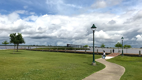
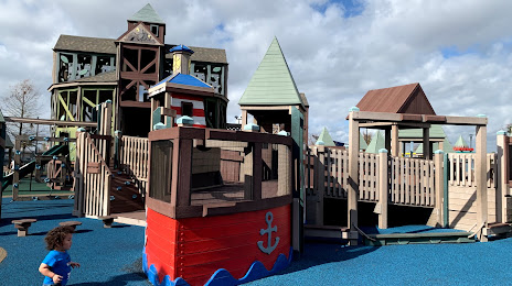
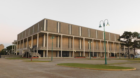
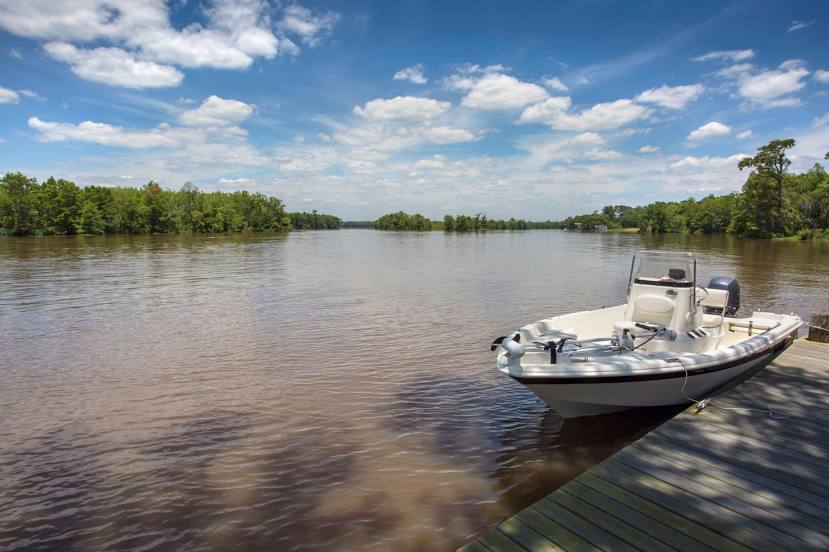
Attractions


Distance to the capital
Distance to the capital (Washington) is about — 1765 km.