 Turlock
Quincy
Lake Mary
Ocala
Melbourne
Hillsboro
Kalama
Gresham
Hialeah
Butler
Virginia Beach
Steamboat Springs
Aiken
Morrow
Youngstown
Bradenton
Greensburg
Dandridge
Big Sky
Turlock
Quincy
Lake Mary
Ocala
Melbourne
Hillsboro
Kalama
Gresham
Hialeah
Butler
Virginia Beach
Steamboat Springs
Aiken
Morrow
Youngstown
Bradenton
Greensburg
Dandridge
Big Sky
Oregon City on the map, United States
Where is located Oregon City
Exact location — Oregon City, Clackamas County, Oregon, United States, marked on the map with a red marker.
Coordinates
Oregon City, United States coordinates in decimal format: latitude — 45.3573429, longitude — -122.6067583. When converted to degrees, minutes, seconds Oregon City has the following coordinates: 45°21′26.43 north latitude and -122°36′24.33 east longitude.
Population
Oregon City, Clackamas County, Oregon, United States, according to our data the population is — 29,984 residents, which is about 0% of the total population of the country (United States).
Comparison of the population on the graph:
Exact time
Time zone for this location Oregon City — UTC -7 America/Los_Angeles. Exact time — thursday, 4 april 2024 year, 23 h. 35 minutes.
Sunrise and sunset
Oregon City, sunrise and sunset data for a date — thursday 25.04.2024.
| Sunrise | Sunset | Day (duration) |
|---|---|---|
| 06:10 -1 minute | 20:06 +1 minute | 13 h. 54 minutes. +2 minutes |
You can control the scale of the map using the auxiliary tools to find out exactly where it is located Oregon City. When you change the scale of the map, the width of the ruler also changes (in kilometers and miles).
Nearby cities
The largest cities that are located nearby:
- Portland — 19 km
- Vancouver — 31 km
- Salem — 57 km
- Eugene — 149 km
- Tacoma — 210 km
- Seattle — 249 km
- Bellevue — 251 km
- Victoria
 (Canada) — 344 km
 - Abbotsford (Canada) — 409 km
- Delta (Canada) — 414 km
- Richmond (Canada) — 423 km
- Surrey (Canada) — 423 km
- Burnaby (Canada) — 433 km
- Coquitlam (Canada) — 434 km
- Anmore (Canada) — 438 km
- Spokane — 462 km
- Boise — 547 km
- Kelowna (Canada) — 548 km
- Reno — 687 km
Distance to neighboring capitals:
- Mexico City
 (Mexico) — 3601 km
 - Ottawa (Canada) — 3611 km
- Belmopan
 (Belize) — 4426 km
 - Guatemala City
 (Guatemala) — 4551 km
 - Nuuk
 (Greenland) — 4694 km
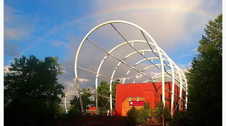
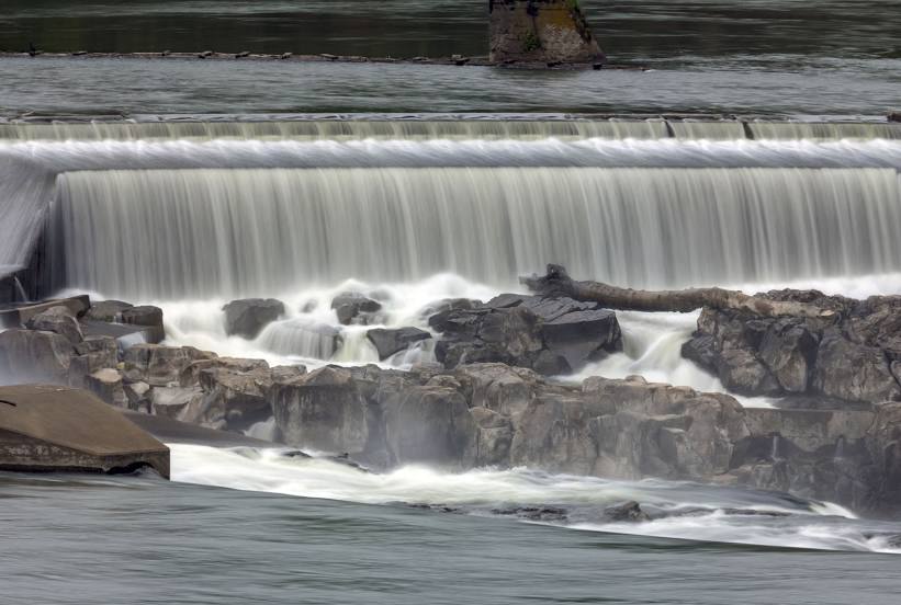
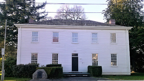
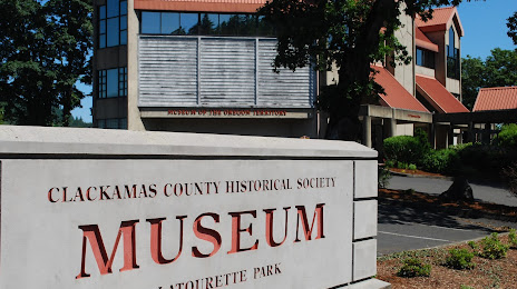
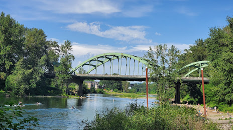
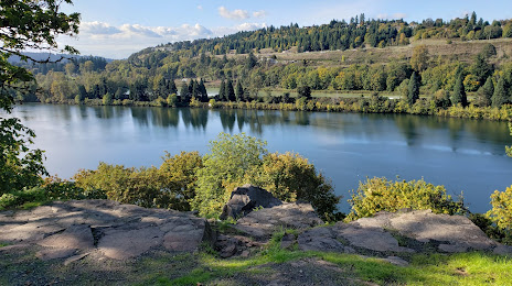
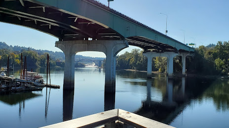
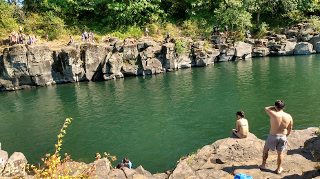
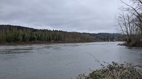
Attractions


Distance to the capital
Distance to the capital (Washington) is about — 3775 km.