 Frankton
Dickinson
Lafayette
Homestead
Kinder
Monterey Park
Mill Valley
Suisun City
Lewis Center
Ewing Township
Winterhaven
Falls Church
Elkton
Kewaunee
New Castle
Midland
League City
Gulfport
Pasadena
Frankton
Dickinson
Lafayette
Homestead
Kinder
Monterey Park
Mill Valley
Suisun City
Lewis Center
Ewing Township
Winterhaven
Falls Church
Elkton
Kewaunee
New Castle
Midland
League City
Gulfport
Pasadena
Urbana on the map, United States
Where is located Urbana
Exact location — Urbana, Champaign County, Illinois, United States, marked on the map with a red marker.
Coordinates
Urbana, United States coordinates in decimal format: latitude — 40.1105875, longitude — -88.2072697. When converted to degrees, minutes, seconds Urbana has the following coordinates: 40°6′38.12 north latitude and -88°12′26.17 east longitude.
Population
Urbana, Champaign County, Illinois, United States, according to our data the population is — 39,511 residents, which is about 0% of the total population of the country (United States).
Comparison of the population on the graph:
Exact time
Time zone for this location Urbana — UTC -5 America/Chicago. Exact time — friday, 4 april 2024 year, 20 h. 05 minutes.
Sunrise and sunset
Urbana, sunrise and sunset data for a date — friday 26.04.2024.
| Sunrise | Sunset | Day (duration) |
|---|---|---|
| 06:01 -1 minute | 19:39 +1 minute | 13 h. 36 minutes. +2 minutes |
You can control the scale of the map using the auxiliary tools to find out exactly where it is located Urbana. When you change the scale of the map, the width of the ruler also changes (in kilometers and miles).
Nearby cities
The largest cities that are located nearby:
- Peoria — 133 km
- Joliet — 157 km
- Indianapolis — 178 km
- Naperville — 181 km
- Aurora — 183 km
- Chicago — 201 km
- South Bend — 237 km
- Saint Louis — 238 km
- Evansville — 243 km
- Rockford — 250 km
- Fort Wayne — 277 km
- Louisville — 296 km
- Milwaukee — 325 km
- Cincinnati — 336 km
- Madison — 341 km
- Springfield — 374 km
- Grand Rapids — 376 km
- Clarksville — 403 km
- Lansing — 415 km
Distance to neighboring capitals:
- Ottawa
 (Canada) — 1178 km
 - Mexico City
 (Mexico) — 2525 km
 - Belmopan
 (Belize) — 2543 km
 - Guatemala City
 (Guatemala) — 2845 km
 - Nuuk
 (Greenland) — 3562 km
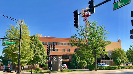
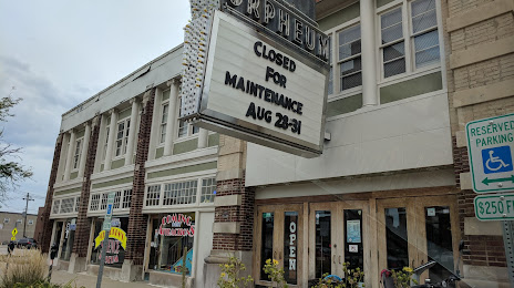
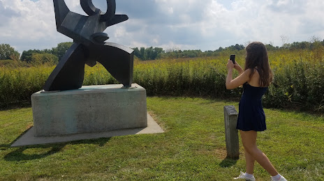
Attractions


Distance to the capital
Distance to the capital (Washington) is about — 967 km.