 Santa Fe Springs
Matamoras
Southborough
Destin
Rome
Provo
Orem
Paramus
Morgan County
Midlothian
Caledonia
Danbury
North Vernon
Paoli
Winslow
Champaign
Carmel-by-the-Sea
Apple Valley
Urbana
Santa Fe Springs
Matamoras
Southborough
Destin
Rome
Provo
Orem
Paramus
Morgan County
Midlothian
Caledonia
Danbury
North Vernon
Paoli
Winslow
Champaign
Carmel-by-the-Sea
Apple Valley
Urbana
Lewis Center on the map, United States
Where is located Lewis Center
Exact location — Lewis Center, Delaware County, Ohio, United States, marked on the map with a red marker.
Coordinates
Lewis Center, United States coordinates in decimal format: latitude — 40.1983884, longitude — -83.0100987. When converted to degrees, minutes, seconds Lewis Center has the following coordinates: 40°11′54.2 north latitude and -83°0′36.36 east longitude.
Population
Lewis Center, Delaware County, Ohio, United States, according to our data the population is — 11,261 residents, which is about 0% of the total population of the country (United States).
Comparison of the population on the graph:
Exact time
Time zone for this location Lewis Center — UTC -4 America/New_York. Exact time — friday, 4 april 2024 year, 00 h. 27 minutes.
Sunrise and sunset
Lewis Center, sunrise and sunset data for a date — friday 26.04.2024.
| Sunrise | Sunset | Day (duration) |
|---|---|---|
| 06:40 -1 minute | 20:19 +1 minute | 13 h. 42 minutes. +2 minutes |
You can control the scale of the map using the auxiliary tools to find out exactly where it is located Lewis Center. When you change the scale of the map, the width of the ruler also changes (in kilometers and miles).
Nearby cities
The largest cities that are located nearby:
- Columbus — 26 km
- Springfield — 74 km
- Akron — 158 km
- Toledo — 168 km
- Cincinnati — 177 km
- Cleveland — 180 km
- Aurora — 186 km
- Fort Wayne — 202 km
- Windsor
 (Canada) — 234 km
 - Detroit — 236 km
- Ann Arbor — 238 km
- Pittsburgh — 255 km
- Warren — 256 km
- Sterling Heights — 263 km
- Indianapolis — 272 km
- Lansing — 307 km
- South Bend — 314 km
- Flint — 316 km
- Louisville — 321 km
Distance to neighboring capitals:
- Ottawa (Canada) — 832 km
- Belmopan
 (Belize) — 2612 km
 - Mexico City
 (Mexico) — 2775 km
 - Guatemala City
 (Guatemala) — 2938 km
 - Nuuk
 (Greenland) — 3345 km
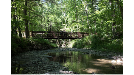
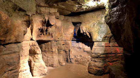
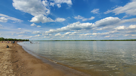
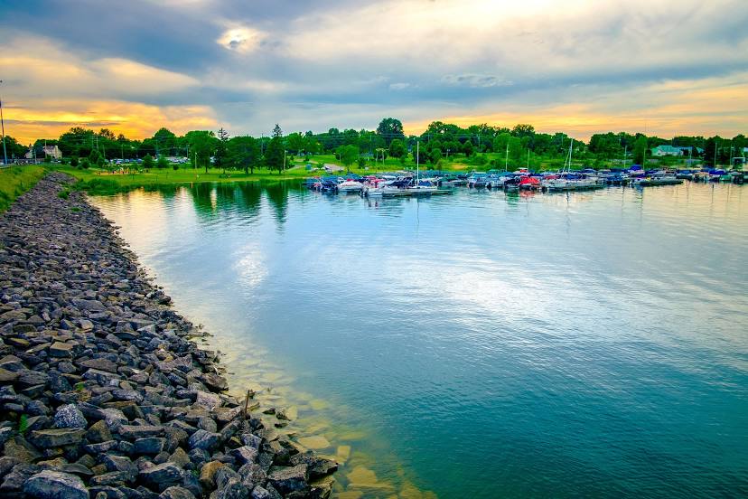
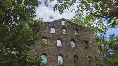
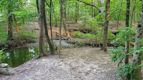
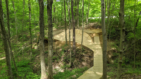
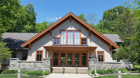
Attractions


Distance to the capital
Distance to the capital (Washington) is about — 532 km.