Downey — Whitmore Lake
Downey — Irvona
Downey — Ripon
Downey — Woolford
Downey — Westville
Downey — Enola
Downey — Des Arc
Downey — Raleigh
Downey — Ash Fork
Downey — Moon
Downey — Quinton
Downey — Brigham City
Downey — Wentzville
Downey — Hyattsville
Downey — Hilton Head Island
Downey — East Brookfield
Downey — Albuquerque
Downey — Jack County
Downey — Cushing
Pico Rivera
Whittier
South El Monte
Avocado Heights
City of Industry
Hacienda Heights
La Puente
Rowland Heights
Diamond Bar
Pomona
Chino
Ontario
LA/Ontario International Airport
Ontario
Riverside
Moreno Valley
Calimesa
Cherry Valley
Banning
Cabazon
North Palm Springs
Downey — Whitmore Lake
Downey — Irvona
Downey — Ripon
Downey — Woolford
Downey — Westville
Downey — Enola
Downey — Des Arc
Downey — Raleigh
Downey — Ash Fork
Downey — Moon
Downey — Quinton
Downey — Brigham City
Downey — Wentzville
Downey — Hyattsville
Downey — Hilton Head Island
Downey — East Brookfield
Downey — Albuquerque
Downey — Jack County
Downey — Cushing
Pico Rivera
Whittier
South El Monte
Avocado Heights
City of Industry
Hacienda Heights
La Puente
Rowland Heights
Diamond Bar
Pomona
Chino
Ontario
LA/Ontario International Airport
Ontario
Riverside
Moreno Valley
Calimesa
Cherry Valley
Banning
Cabazon
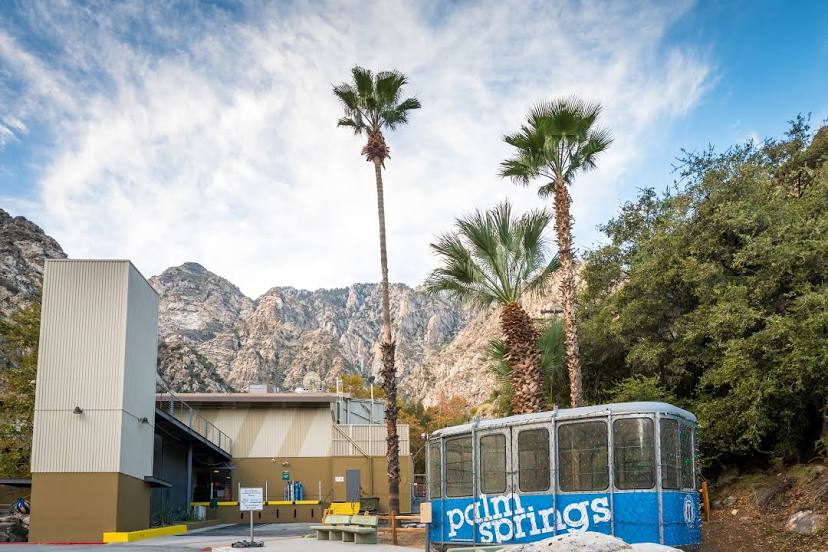
North Palm Springs
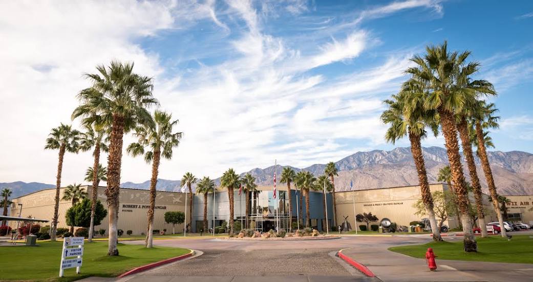
Downey — Palm Springs distance, route on the map
Distance by car
Distance between Downey, California, United States and Palm Springs, California, United States by car is — km, or miles. To travel this distance by car, you need minute, or h.
Route on the map, driving directions
Car route Downey — Palm Springs was created automatically. The road on the map is shown as a blue line. By moving the markers, you can create a new route through the points you need.
Passing cities through which the car route passes: Santa Fe Springs, Pico Rivera, Whittier, South El Monte, Avocado Heights, City of Industry, Hacienda Heights, La Puente, Rowland Heights, Diamond Bar, Pomona, Chino, Ontario, LA/Ontario International Airport, Ontario, Riverside, Moreno Valley, Calimesa, Cherry Valley, Banning, Cabazon, North Palm Springs.
Distance by plane
If you decide to take a trip Downey Palm Springs by plane, then you have to fly the distance — 147 km or 91 miles. It is marked on the map with a gray line (between two points in a straight line).
Flight time
Estimated flight time Downey Palm Springs by plane at cruising speed 750 km / h will be — 11 min.
Direction of movement
United States, Downey — right-hand traffic. United States, Palm Springs — right-hand traffic.
Difference in time
Downey and Palm Springs are in the same time zone. Between them there is no time difference (UTC -7 America/Los_Angeles).
Interesting Facts
Information on alternative ways to get to your destination.
The length of this distance is about 0.4% of the total length of the equator.
The percentage of the population is clearly shown in the graph:
Downey — 111,862, Palm Springs — 46,680 residents (less by 65,182).
The cost of travel
Calculate the cost of the trip yourself using the fuel consumption calculator, changing the data in the table.
Calculate the cost of other distances from the starting point — Downey.