Jupiter — Macatawa
Jupiter — Williamsburg
Jupiter — Grimsby
Jupiter — Albany
Jupiter — Tallassee Municipal Airport
Jupiter — Mitchell
Jupiter — Davenport Airport
Jupiter — Dallas
Jupiter — Monument
Jupiter — Mission
Jupiter — Sarpy County
Jupiter — Bay City
Jupiter — Burlington
Jupiter — Laclede County
Jupiter — Fort Ogden
Jupiter — Monteagle
Jupiter — Fosston
Jupiter — Caryville
Jupiter — Wellsville
Palm Beach International Airport
Royal Palm Beach
Golf
Boca Raton
Boca Raton
Coconut Creek
Margate
North Lauderdale
Sunrise
Plantation
Plantation
Davie
Hollywood
Hollywood
Norland
Miramar
Miramar
Miami Lakes
Hialeah Gardens
Doral
Fontainebleau
Sunset
Naranja
Homestead
Florida City
Key Largo
Tavernier
Islamorada
Marathon
Key Colony Beach
Jupiter — Macatawa
Jupiter — Williamsburg
Jupiter — Grimsby
Jupiter — Albany
Jupiter — Tallassee Municipal Airport
Jupiter — Mitchell
Jupiter — Davenport Airport
Jupiter — Dallas
Jupiter — Monument
Jupiter — Mission
Jupiter — Sarpy County
Jupiter — Bay City
Jupiter — Burlington
Jupiter — Laclede County
Jupiter — Fort Ogden
Jupiter — Monteagle
Jupiter — Fosston
Jupiter — Caryville
Jupiter — Wellsville
Palm Beach International Airport
Royal Palm Beach
Golf
Boca Raton
Boca Raton
Coconut Creek
Margate
North Lauderdale
Sunrise
Plantation
Plantation
Davie
Hollywood
Hollywood
Norland
Miramar
Miramar
Miami Lakes
Hialeah Gardens
Doral
Fontainebleau
Sunset
Naranja
Homestead
Florida City
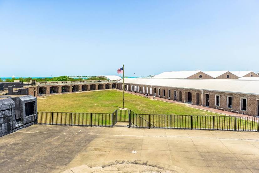
Key Largo
Tavernier
Islamorada
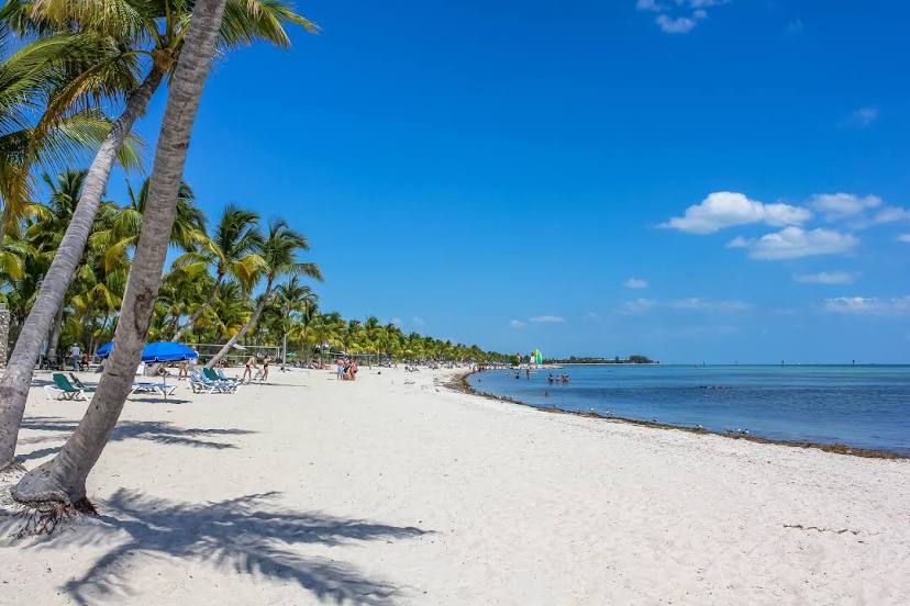
Marathon
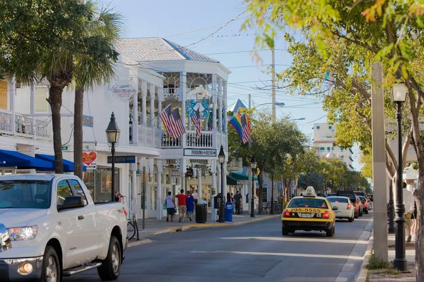
Key Colony Beach
Jupiter — Key West distance, route on the map
Distance by car
Distance between Jupiter, Florida, United States and Key West, Florida, United States by car is — km, or miles. To travel this distance by car, you need minute, or h.
Route on the map, driving directions
Car route Jupiter — Key West was created automatically. The road on the map is shown as a blue line. By moving the markers, you can create a new route through the points you need.
Passing cities through which the car route passes: Palm Beach Gardens, Palm Beach International Airport, Royal Palm Beach, Golf, Boca Raton, Boca Raton, Coconut Creek, Margate, North Lauderdale, Sunrise, Plantation, Plantation, Davie, Hollywood, Hollywood, Norland, Miramar, Miramar, Miami Lakes, Hialeah Gardens, Doral, Fontainebleau, Sunset, Naranja, Homestead, Florida City, Key Largo, Tavernier, Islamorada, Marathon, Key Colony Beach.
Distance by plane
If you decide to take a trip Jupiter Key West by plane, then you have to fly the distance — 314 km or 195 miles. It is marked on the map with a gray line (between two points in a straight line).
Flight time
Estimated flight time Jupiter Key West by plane at cruising speed 750 km / h will be — 25 min.
Direction of movement
United States, Jupiter — right-hand traffic. United States, Key West — right-hand traffic.
Difference in time
Jupiter and Key West are in the same time zone. Between them there is no time difference (UTC -4 America/New_York).
Interesting Facts
Information on alternative ways to get to your destination.
The length of this distance is about 0.8% of the total length of the equator.
The percentage of the population is clearly shown in the graph:
Jupiter — 48,974, Key West — 24,646 residents (less by 24,328).
The cost of travel
Calculate the cost of the trip yourself using the fuel consumption calculator, changing the data in the table.