South Kortright — Macclenny
South Kortright — Wisner
South Kortright — Schuyler
South Kortright — Ravenden Springs
South Kortright — La Feria
South Kortright — Hopeland
South Kortright — Sylvania Airport
South Kortright — Strang
South Kortright — Selah
South Kortright — Gilberton
South Kortright — Lindsay
South Kortright — Shamokin
South Kortright — Venango County
South Kortright — Dallas
South Kortright — Kenilworth
South Kortright — Brashear
South Kortright — Sarpy County
South Kortright — Buckland
South Kortright — Oskaloosa
Starlight
Lake Como
Poyntelle
Pleasant Mount
Waymart
Jermyn
Archbald
Dickson City
Dunmore
Scranton
Moosic
Avoca
Pittston
Wilkes-Barre
Nanticoke
Drums
Hazleton
McAdoo
Quakake
Tuscarora
Gilberton
Frackville
Minersville
Ravine
Jonestown
Grantville
Progress
Enola
Mechanicsburg
Carlisle Barracks Army Heliport
Carlisle Airport
Carlisle
Shippensburg
Scotland
Chambersburg
Hagerstown
Falling Waters
Martinsburg
Gerrardstown
Bunker Hill
Clear Brook
Winchester
Stephens City
Marlboro
Strasburg
Mount Jackson
Quicksburg
New Market
Timberville
Harrisonburg
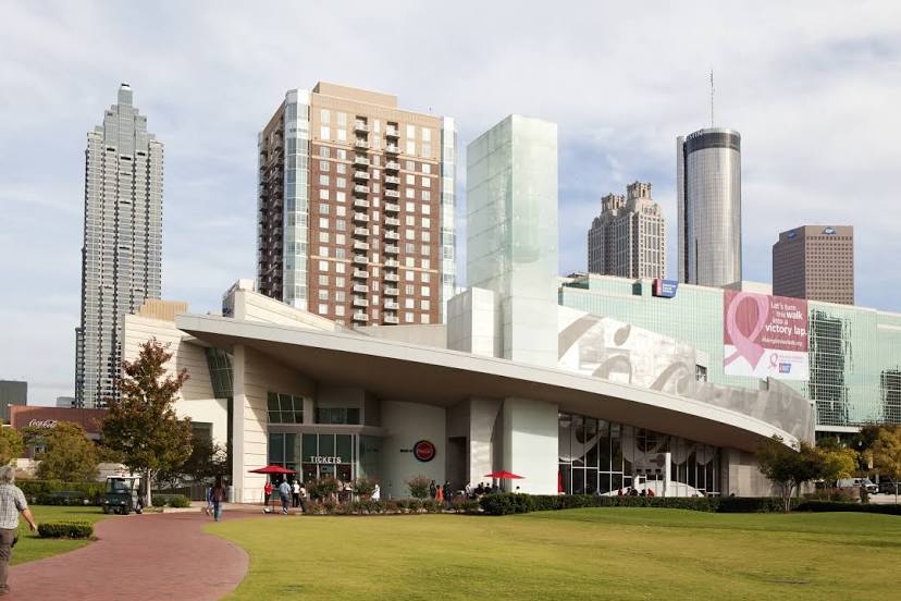
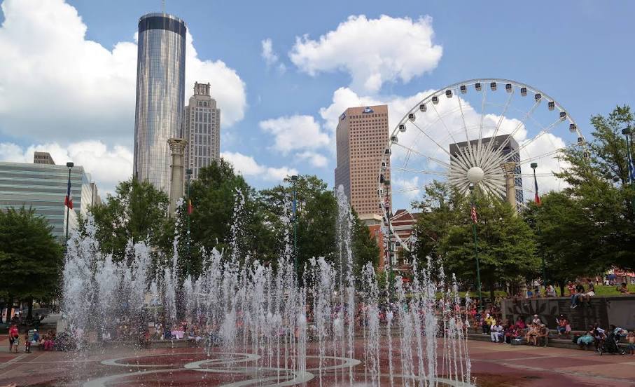
South Kortright — Atlanta distance, route on the map
Distance by car
Distance between South Kortright, New York, United States and Atlanta, Georgia, United States by car is — km, or miles. To travel this distance by car, you need minute, or h.
Route on the map, driving directions
Car route South Kortright — Atlanta was created automatically. The road on the map is shown as a blue line. By moving the markers, you can create a new route through the points you need.
Passing cities through which the car route passes: Delancey, Starlight, Lake Como, Poyntelle, Pleasant Mount, Waymart, Jermyn, Archbald, Dickson City, Dunmore, Scranton, Moosic, Avoca, Pittston, Wilkes-Barre, Nanticoke, Drums, Hazleton, McAdoo, Quakake, Tuscarora, Gilberton, Frackville, Minersville, Ravine, Jonestown, Grantville, Progress, Enola, Mechanicsburg, Carlisle Barracks Army Heliport, Carlisle Airport, Carlisle, Shippensburg, Scotland, Chambersburg, Hagerstown, Falling Waters, Martinsburg, Gerrardstown, Bunker Hill, Clear Brook, Winchester, Stephens City, Marlboro, Strasburg, Mount Jackson, Quicksburg, New Market, Timberville, Harrisonburg.
Distance by plane
If you decide to take a trip South Kortright Atlanta by plane, then you have to fly the distance — 1275 km or 791 miles. It is marked on the map with a gray line (between two points in a straight line).
Flight time
Estimated flight time South Kortright Atlanta by plane at cruising speed 750 km / h will be — 1 h. and 42 min.
Direction of movement
United States, South Kortright — right-hand traffic. United States, Atlanta — right-hand traffic.
Difference in time
South Kortright and Atlanta are in the same time zone. Between them there is no time difference (UTC -4 America/New_York).
Interesting Facts
Information on alternative ways to get to your destination.
The length of this distance is about 3.2% of the total length of the equator.
The cost of travel
Calculate the cost of the trip yourself using the fuel consumption calculator, changing the data in the table.