 Minneapolis
Norwich Landing Strip
Urbandale
Omro
Rosamond
Perry
Saint Paul
Amarillo
Evansville
Morristown
Bowie
Beaverton
Belmont
Burlington
Norwell
Addison
Syracuse
Merrimac
Laconia
Minneapolis
Norwich Landing Strip
Urbandale
Omro
Rosamond
Perry
Saint Paul
Amarillo
Evansville
Morristown
Bowie
Beaverton
Belmont
Burlington
Norwell
Addison
Syracuse
Merrimac
Laconia
Atlanta on the map, United States
Where is located Atlanta
Exact location — Atlanta, Fulton County, Georgia, United States, marked on the map with a red marker.
Coordinates
Atlanta, United States coordinates in decimal format: latitude — 33.7489954, longitude — -84.3879824. When converted to degrees, minutes, seconds Atlanta has the following coordinates: 33°44′56.38 north latitude and -84°23′16.74 east longitude.
Population
Atlanta, Fulton County, Georgia, United States, according to our data the population is — 422,908 residents, which is about 0.1% of the total population of the country (United States).
Comparison of the population on the graph:
Exact time
Time zone for this location Atlanta — UTC -4 America/New_York. Exact time — friday, 4 april 2024 year, 07 h. 57 minutes.
Sunrise and sunset
Atlanta, sunrise and sunset data for a date — friday 26.04.2024.
| Sunrise | Sunset | Day (duration) |
|---|---|---|
| 06:56 -1 minute | 20:14 +1 minute | 13 h. 18 minutes. +2 minutes |
You can control the scale of the map using the auxiliary tools to find out exactly where it is located Atlanta. When you change the scale of the map, the width of the ruler also changes (in kilometers and miles).
Nearby cities
The largest cities that are located nearby:
- Chattanooga — 166 km
- Birmingham — 224 km
- Huntsville — 227 km
- Montgomery — 235 km
- Knoxville — 248 km
- Columbia — 309 km
- Nashville — 342 km
- Savannah — 359 km
- Charlotte — 359 km
- Tallahassee — 366 km
- Clarksville — 405 km
- Charleston — 428 km
- Winston-Salem — 452 km
- Jacksonville — 459 km
- Mobile — 484 km
- Greensboro — 484 km
- Gainesville — 494 km
- Louisville — 512 km
- Fayetteville — 519 km
Distance to neighboring capitals:
- Ottawa
 (Canada) — 1495 km
 - Belmopan
 (Belize) — 1886 km
 - Mexico City
 (Mexico) — 2160 km
 - Guatemala City
 (Guatemala) — 2217 km
 - Nuuk
 (Greenland) — 4047 km
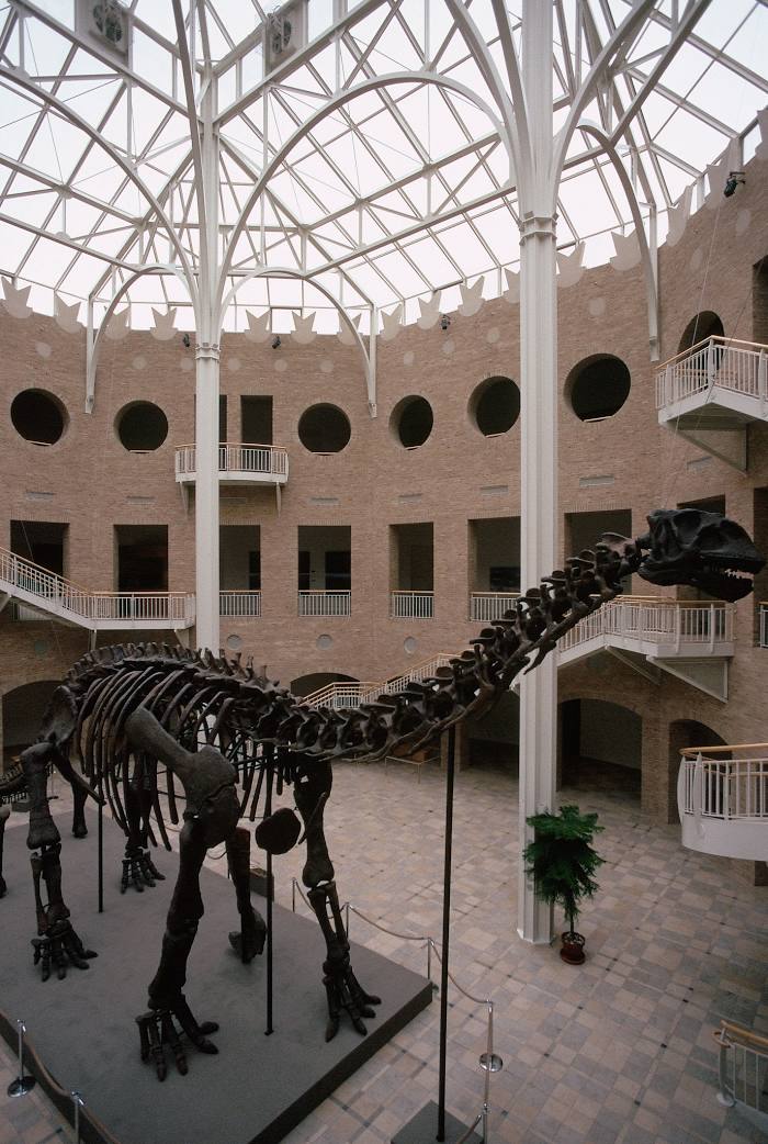
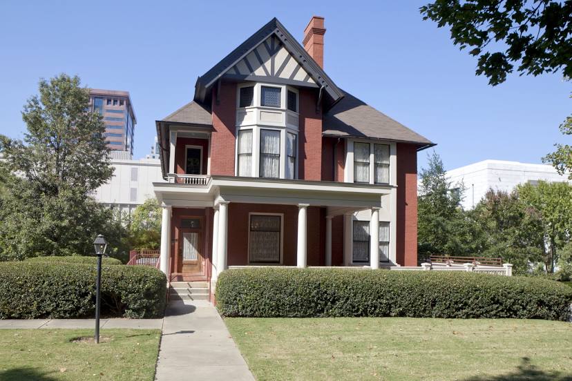
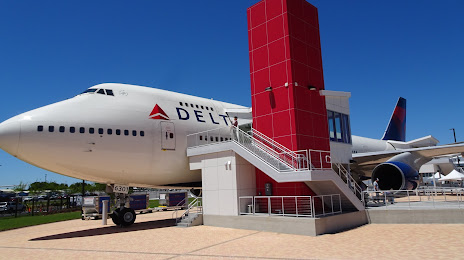
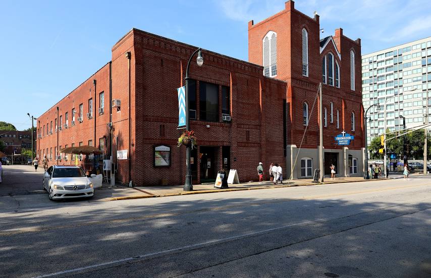
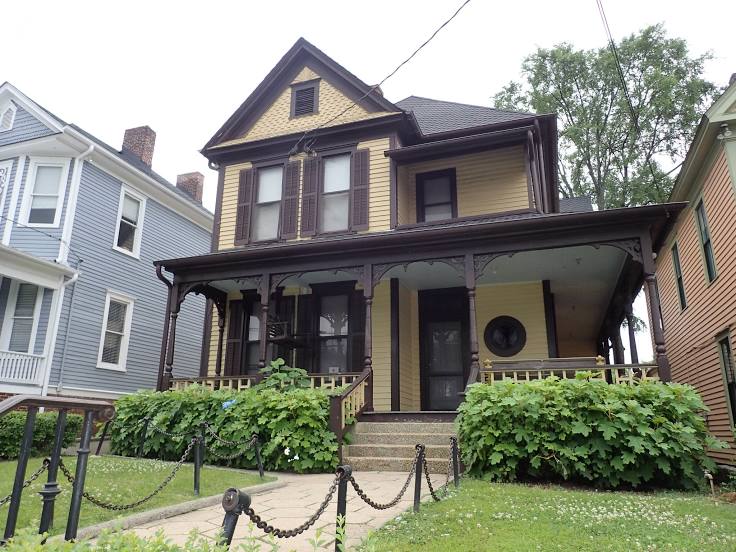
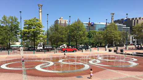
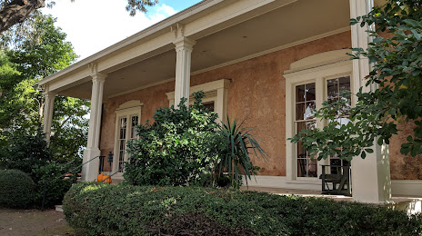
Attractions


Distance to the capital
Distance to the capital (Washington) is about — 873 km.