Citrus Heights — Leesburg
Citrus Heights — Squires
Citrus Heights — Belcourt
Citrus Heights — Rogers
Citrus Heights — Spanishburg
Citrus Heights — Antioch
Citrus Heights — Goshen
Citrus Heights — Sheridan
Citrus Heights — Boden
Citrus Heights — Aviston
Citrus Heights — Corona
Citrus Heights — Zolfo Springs
Citrus Heights — Sentinel Butte
Citrus Heights — Saint Ann
Citrus Heights — Cresskill
Citrus Heights — Wheeler Airport
Citrus Heights — Wilbur Airport
Citrus Heights — Jourdanton
Citrus Heights — Luthersburg
Sacramento
West Sacramento
Woodland
Yolo County
Zamora
Dunnigan
Arbuckle
Genevra
Williams
Willows
Orland
Tehama
Red Bluff
Redding
Shasta Lake
Lakehead
Castella
Dunsmuir
Mount Shasta
Weed
Gazelle
Yreka
Siskiyou County
Hornbrook
Ashland
Medford
Central Point
Tolo
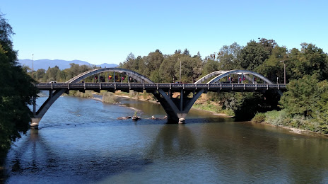
Citrus Heights — Grants Pass distance, route on the map
Distance by car
Distance between Citrus Heights, California, United States and Grants Pass, Oregon, United States by car is — km, or miles. To travel this distance by car, you need minute, or h.
Route on the map, driving directions
Car route Citrus Heights — Grants Pass was created automatically. The road on the map is shown as a blue line. By moving the markers, you can create a new route through the points you need.
Passing cities through which the car route passes: North Highlands, Sacramento, West Sacramento, Woodland, Yolo County, Zamora, Dunnigan, Arbuckle, Genevra, Williams, Willows, Orland, Tehama, Red Bluff, Redding, Shasta Lake, Lakehead, Castella, Dunsmuir, Mount Shasta, Weed, Gazelle, Yreka, Siskiyou County, Hornbrook, Ashland, Medford, Central Point, Tolo.
Distance by plane
If you decide to take a trip Citrus Heights Grants Pass by plane, then you have to fly the distance — 450 km or 279 miles. It is marked on the map with a gray line (between two points in a straight line).
Flight time
Estimated flight time Citrus Heights Grants Pass by plane at cruising speed 750 km / h will be — 36 min.
Direction of movement
United States, Citrus Heights — right-hand traffic. United States, Grants Pass — right-hand traffic.
Difference in time
Citrus Heights and Grants Pass are in the same time zone. Between them there is no time difference (UTC -7 America/Los_Angeles).
Interesting Facts
Information on alternative ways to get to your destination.
The length of this distance is about 1.1% of the total length of the equator.
The percentage of the population is clearly shown in the graph:
Citrus Heights — 83,301, Grants Pass — 27,191 residents (less by 56,110).
The cost of travel
Calculate the cost of the trip yourself using the fuel consumption calculator, changing the data in the table.