 Ramos Arizpe
Chapala
Atotonilco El Alto
Orizaba
Pachuca
Irapuato
Cuautitlan
Ameca
Boca del Río
Xalapa
Villahermosa
Tuxtla Gutiérrez
Toluca
Salamanca
Acapulco
Verdes
Reynosa
San José del Cabo
Hermosillo
Ramos Arizpe
Chapala
Atotonilco El Alto
Orizaba
Pachuca
Irapuato
Cuautitlan
Ameca
Boca del Río
Xalapa
Villahermosa
Tuxtla Gutiérrez
Toluca
Salamanca
Acapulco
Verdes
Reynosa
San José del Cabo
Hermosillo
Tampico on the map, Mexico
Where is located Tampico
Exact location — Tampico, Tampico, Tamaulipas, Mexico, marked on the map with a red marker.
Coordinates
Tampico, Mexico coordinates in decimal format: latitude — 22.2331041, longitude — -97.861099. When converted to degrees, minutes, seconds Tampico has the following coordinates: 22°13′59.17 north latitude and -97°51′39.96 east longitude.
Population
Tampico, Tampico, Tamaulipas, Mexico, according to our data the population is — 309,015 residents, which is about 0.2% of the total population of the country (Mexico).
Comparison of the population on the graph:
Exact time
Time zone for this location Tampico — UTC -6 America/Mexico_City. Exact time — friday, 4 april 2024 year, 04 h. 50 minutes.
Sunrise and sunset
Tampico, sunrise and sunset data for a date — friday 26.04.2024.
| Sunrise | Sunset | Day (duration) |
|---|---|---|
| 06:04 -1 minute | 18:53 -0 minutes | 12 h. 48 minutes. +1 minute |
You can control the scale of the map using the auxiliary tools to find out exactly where it is located Tampico. When you change the scale of the map, the width of the ruler also changes (in kilometers and miles).
Nearby cities
The largest cities that are located nearby:
- Ciudad Madero — 2 km
- Tantoyuca — 105 km
- Poza Rica de Hidalgo — 193 km
- Ciudad Victoria — 211 km
- Tulancingo — 243 km
- Pachuca — 253 km
- Martínez de la Torre — 254 km
- San Juan del Río — 300 km
- Ojo de Agua — 308 km
- Xalapa — 313 km
- Soledad de Graciano Sánchez — 315 km
- Coacalco — 316 km
- Ecatepec — 316 km
- Santiago de Querétaro — 319 km
- Texcoco — 320 km
- San Luis Potosi — 320 km
- Cuautitlán Izcalli — 320 km
- Buenavista — 321 km
- Tlalnepantla — 329 km
Distance to neighboring capitals:
- Belmopan
 (Belize) — 1101 km
 - Guatemala City
 (Guatemala) — 1147 km
 - Tegucigalpa
 (Honduras) — 1444 km
 - Washington
 (United States) — 2711 km
 - Ottawa
 (Canada) — 3270 km
 - Saint John
 (Puerto Rico) — 3332 km
 - Belgrade
 (Serbia) — 10297 km
 - Podgorica
 (Montenegro) — 10368 km
 - Hagåtña
 (Guam) — 12126 km
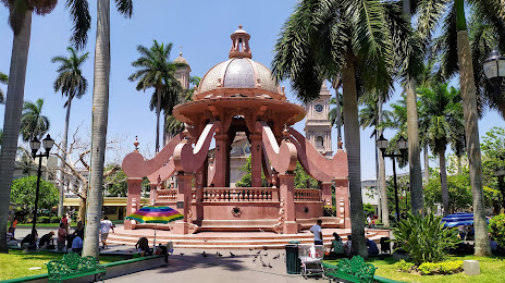
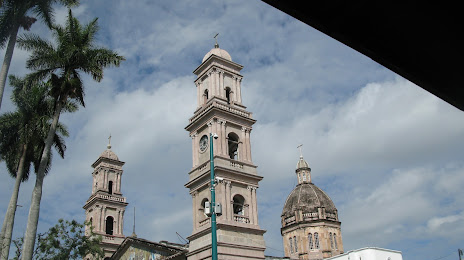
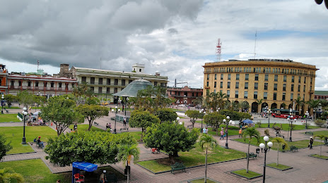
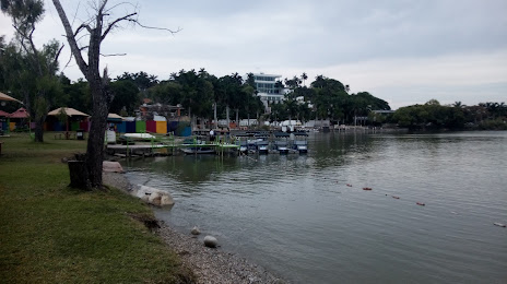
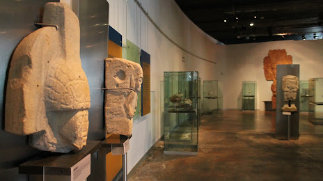
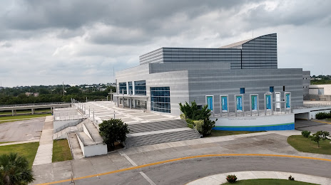
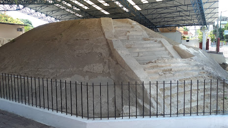
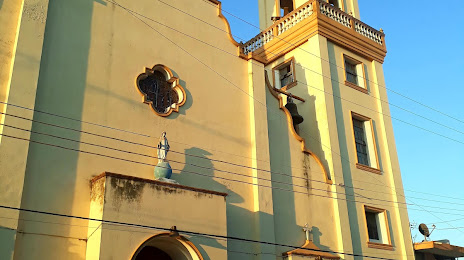
Attractions


Distance to the capital
Distance to the capital (Mexico City) is about — 338 km.