Forest Hill — Mountainville
Forest Hill — Haralson
Forest Hill — Bliss
Forest Hill — Saint Paul
Forest Hill — Pataskala
Forest Hill — Kinde
Forest Hill — Loma Rica
Forest Hill — El Reno
Forest Hill — Iowa Park
Forest Hill — Ford Airport
Forest Hill — Fort Washington
Forest Hill — Warrensburg
Forest Hill — Gibbon
Forest Hill — Wimauma
Forest Hill — Strasburg
Forest Hill — Plantersville
Forest Hill — Elliston
Forest Hill — Collins
Forest Hill — Sarona
Tarrant County
Haltom City
Blue Mound
Rhome
Wise County
Alvord
Wichita Falls
Iowa Park
Electra
Chillicothe
Quanah
Childress
Hedley
Claude
Rick Husband Amarillo International Airport
Amarillo
Vega
San Jon
Tucumcari
Santa Rosa
Moriarty
Cedar Crest
Albuquerque
Albuquerque
Corrales
Bernalillo
Cuba
Farmington
Shiprock
Cortez
Dove Creek
Moab
Price
Mapleton
Spanish Fork
Springville
Provo
Orem
Lindon
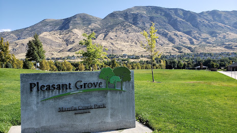
Forest Hill — American Fork distance, route on the map
Distance by car
Distance between Forest Hill, Texas, United States and American Fork, Utah, United States by car is — km, or miles. To travel this distance by car, you need minute, or h.
Route on the map, driving directions
Car route Forest Hill — American Fork was created automatically. The road on the map is shown as a blue line. By moving the markers, you can create a new route through the points you need.
Passing cities through which the car route passes: Fort Worth, Tarrant County, Haltom City, Blue Mound, Rhome, Wise County, Alvord, Wichita Falls, Iowa Park, Electra, Chillicothe, Quanah, Childress, Hedley, Claude, Rick Husband Amarillo International Airport, Amarillo, Vega, San Jon, Tucumcari, Santa Rosa, Moriarty, Cedar Crest, Albuquerque, Albuquerque, Corrales, Bernalillo, Cuba, Farmington, Shiprock, Cortez, Dove Creek, Moab, Price, Mapleton, Spanish Fork, Springville, Provo, Orem, Lindon.
Distance by plane
If you decide to take a trip Forest Hill American Fork by plane, then you have to fly the distance — 1553 km or 963 miles. It is marked on the map with a gray line (between two points in a straight line).
Flight time
Estimated flight time Forest Hill American Fork by plane at cruising speed 750 km / h will be — 2 h. and 4 min.
Direction of movement
United States, Forest Hill — right-hand traffic. United States, American Fork — right-hand traffic.
Difference in time
Forest Hill and American Fork are in different time zones. The time difference is 1 hour (UTC -5 America/Chicago, UTC -6 America/Denver).
Interesting Facts
Information on alternative ways to get to your destination.
The length of this distance is about 3.9% of the total length of the equator.
The percentage of the population is clearly shown in the graph:
Forest Hill — 12,355 (less by 11,227), American Fork — 23,582 residents.
The cost of travel
Calculate the cost of the trip yourself using the fuel consumption calculator, changing the data in the table.