Salt Lake County — Middlesex
Salt Lake County — Corralitos
Salt Lake County — Newcomb
Salt Lake County — Julesburg
Salt Lake County — Eleele
Salt Lake County — Lewisville
Salt Lake County — Thornville
Salt Lake County — Kerkhoven
Salt Lake County — Williamsport
Salt Lake County — Allen
Salt Lake County — Sierra Madre
Salt Lake County — Marshall
Salt Lake County — Fords
Salt Lake County — Foss
Salt Lake County — Tulelake
Salt Lake County — Painesville
Salt Lake County — Saint Joseph
Salt Lake County — Newman's Airport-4n0
Salt Lake County — Ahoskie
West Valley City
Salt Lake City
Magna
Wendover
West Wendover
Wells
Halleck
Elko
Carlin
Battle Mountain
Winnemucca
Imlay
Lovelock
Fernley
Sparks
Reno
Floriston
Truckee
Eder
Norden
Soda Springs
Gold Run
Cape Horn
Colfax
Weimar
Meadow Vista
Auburn
Newcastle
Rocklin
Roseville
Citrus Heights
North Highlands
Sacramento
West Sacramento
Davis
Dixon
Vacaville
Fairfield
Suval
Benicia
Martinez
Pacheco
Pleasant Hill
Walnut Creek
Alamo
Danville
San Ramon
Dublin
Pleasanton
Sunol
Fremont
Salt Lake County — Santa Cruz distance, route on the map
Distance by car
Distance between Salt Lake County, Utah, United States and Santa Cruz, California, United States by car is — km, or miles. To travel this distance by car, you need minute, or h.
Route on the map, driving directions
Car route Salt Lake County — Santa Cruz was created automatically. The road on the map is shown as a blue line. By moving the markers, you can create a new route through the points you need.
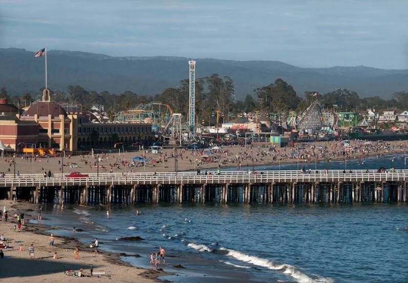
Passing cities through which the car route passes: Taylorsville, West Valley City, Salt Lake City, Magna, Wendover, West Wendover, Wells, Halleck, Elko, Carlin, Battle Mountain, Winnemucca, Imlay, Lovelock, Fernley, Sparks, Reno, Floriston, Truckee, Eder, Norden, Soda Springs, Gold Run, Cape Horn, Colfax, Weimar, Meadow Vista, Auburn, Newcastle, Rocklin, Roseville, Citrus Heights, North Highlands, Sacramento, West Sacramento, Davis, Dixon, Vacaville, Fairfield, Suval, Benicia, Martinez, Pacheco, Pleasant Hill, Walnut Creek, Alamo, Danville, San Ramon, Dublin, Pleasanton, Sunol, Fremont.
Distance by plane
If you decide to take a trip Salt Lake County Santa Cruz by plane, then you have to fly the distance — 963 km or 597 miles. It is marked on the map with a gray line (between two points in a straight line).
Flight time
Estimated flight time Salt Lake County Santa Cruz by plane at cruising speed 750 km / h will be — 1 h. and 17 min.
Direction of movement
United States, Salt Lake County — right-hand traffic. United States, Santa Cruz — right-hand traffic.
Difference in time
Salt Lake County and Santa Cruz are in different time zones. The time difference is 1 hour (UTC -6 America/Denver, UTC -7 America/Los_Angeles).
Interesting Facts
Information on alternative ways to get to your destination.
The length of this distance is about 2.4% of the total length of the equator.
The cost of travel
Calculate the cost of the trip yourself using the fuel consumption calculator, changing the data in the table.