Palo Alto — Allardt
Palo Alto — Arrey
Palo Alto — Parkton
Palo Alto — Chaves County
Palo Alto — Clark County
Palo Alto — Ronco
Palo Alto — Eads
Palo Alto — Mahnomen
Palo Alto — Cape Horn
Palo Alto — St. Louis Lambert International Airport
Palo Alto — Carlsbad
Palo Alto — Walford
Palo Alto — Fieldon
Palo Alto — McRae
Palo Alto — Rougemont
Palo Alto — Mohawk
Palo Alto — Neon
Palo Alto — Banner County
Palo Alto — Susquehanna
Sunnyvale
San Jose
Santa Clara
Terminal A
San Jose
San Jose
Coyote
Morgan Hill
Gilroy
Volta
Avenal
Kettleman City
Lost Hills
Buttonwillow
Bakersfield
Tehachapi
Tehachapi
Mojave
Boron
Hinkley
Hutt
Barstow
Daggett
Minneola
Newberry Springs
Needles
Topock
Yucca
Kingman
Seligman
Ash Fork
Williams
Bellemont
Flagstaff
Winslow
Holbrook
Chambers
Sanders
Houck
Lupton
Mentmore
Gallup
Gallup
Perea
Thoreau
Prewitt
Cubero
Paraje
United States
Albuquerque
Albuquerque
Cedar Crest
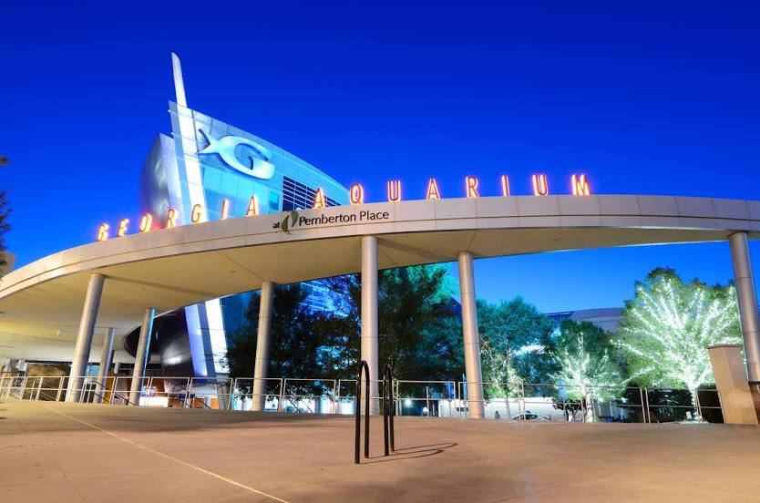
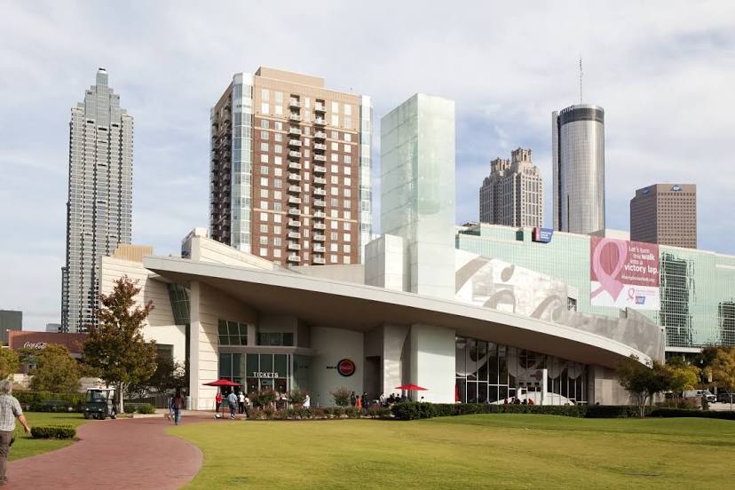
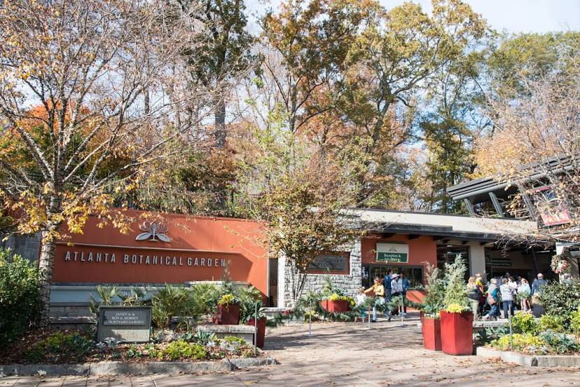
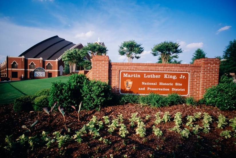
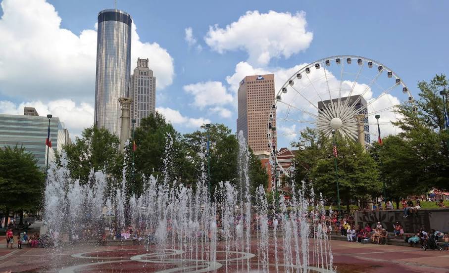
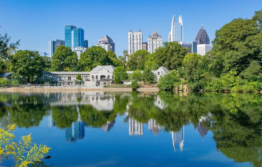
Palo Alto — Atlanta distance, route on the map
Distance by car
Distance between Palo Alto, California, United States and Atlanta, Georgia, United States by car is — km, or miles. To travel this distance by car, you need minute, or h.
Route on the map, driving directions
Car route Palo Alto — Atlanta was created automatically. The road on the map is shown as a blue line. By moving the markers, you can create a new route through the points you need.
Passing cities through which the car route passes: Mountain View, Sunnyvale, San Jose, Santa Clara, Terminal A, San Jose, San Jose, Coyote, Morgan Hill, Gilroy, Volta, Avenal, Kettleman City, Lost Hills, Buttonwillow, Bakersfield, Tehachapi, Tehachapi, Mojave, Boron, Hinkley, Hutt, Barstow, Daggett, Minneola, Newberry Springs, Needles, Topock, Yucca, Kingman, Seligman, Ash Fork, Williams, Bellemont, Flagstaff, Winslow, Holbrook, Chambers, Sanders, Houck, Lupton, Mentmore, Gallup, Gallup, Perea, Thoreau, Prewitt, Cubero, Paraje, United States, Albuquerque, Albuquerque, Cedar Crest.
Distance by plane
If you decide to take a trip Palo Alto Atlanta by plane, then you have to fly the distance — 3416 km or 2118 miles. It is marked on the map with a gray line (between two points in a straight line).
Flight time
Estimated flight time Palo Alto Atlanta by plane at cruising speed 750 km / h will be — 4 h. and 33 min.
Direction of movement
United States, Palo Alto — right-hand traffic. United States, Atlanta — right-hand traffic.
Difference in time
Palo Alto and Atlanta are in different time zones. The time difference is 3 hours (UTC -7 America/Los_Angeles, UTC -4 America/New_York).
Interesting Facts
Information on alternative ways to get to your destination.
The length of this distance is about 8.5% of the total length of the equator.
The percentage of the population is clearly shown in the graph:
Palo Alto — 56,508 (less by 366,400), Atlanta — 422,908 residents.
The cost of travel
Calculate the cost of the trip yourself using the fuel consumption calculator, changing the data in the table.